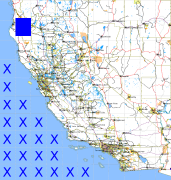
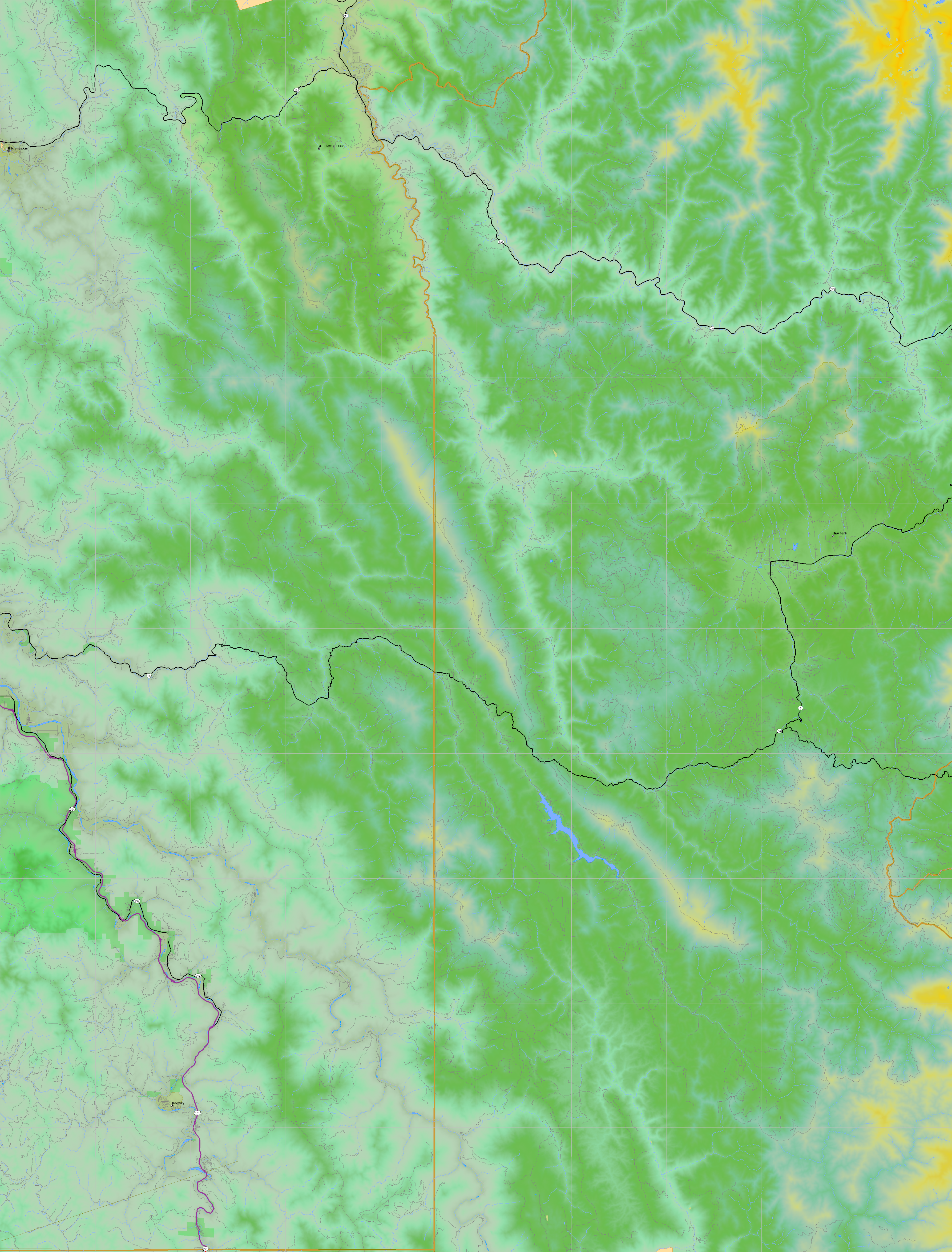
California and Nevada: 124°W/41°N to 123°W/40°N
 |
Shuttle Radar Topography Mission |
 |
U. S. Census Bureau Tiger Map Server |
Elevation File
41N124W_el.tga.bz2 (7287961 bytes)
41N124W_el.png (9185414 bytes)
41N124W_el-uncorrected.tga.bz2 (7283256 bytes)
41N124W_el-uncorrected.png (9185422 bytes)
Texture File
41N124W_tx_c.tga.bz2 (10825906 bytes)
41N124W_tx_c.png (15725071 bytes)
 |
 |
 |
 |
 |
 |
 |
 |
 |