California and Nevada: 124°W/40°N to 123°W/39°N
 |
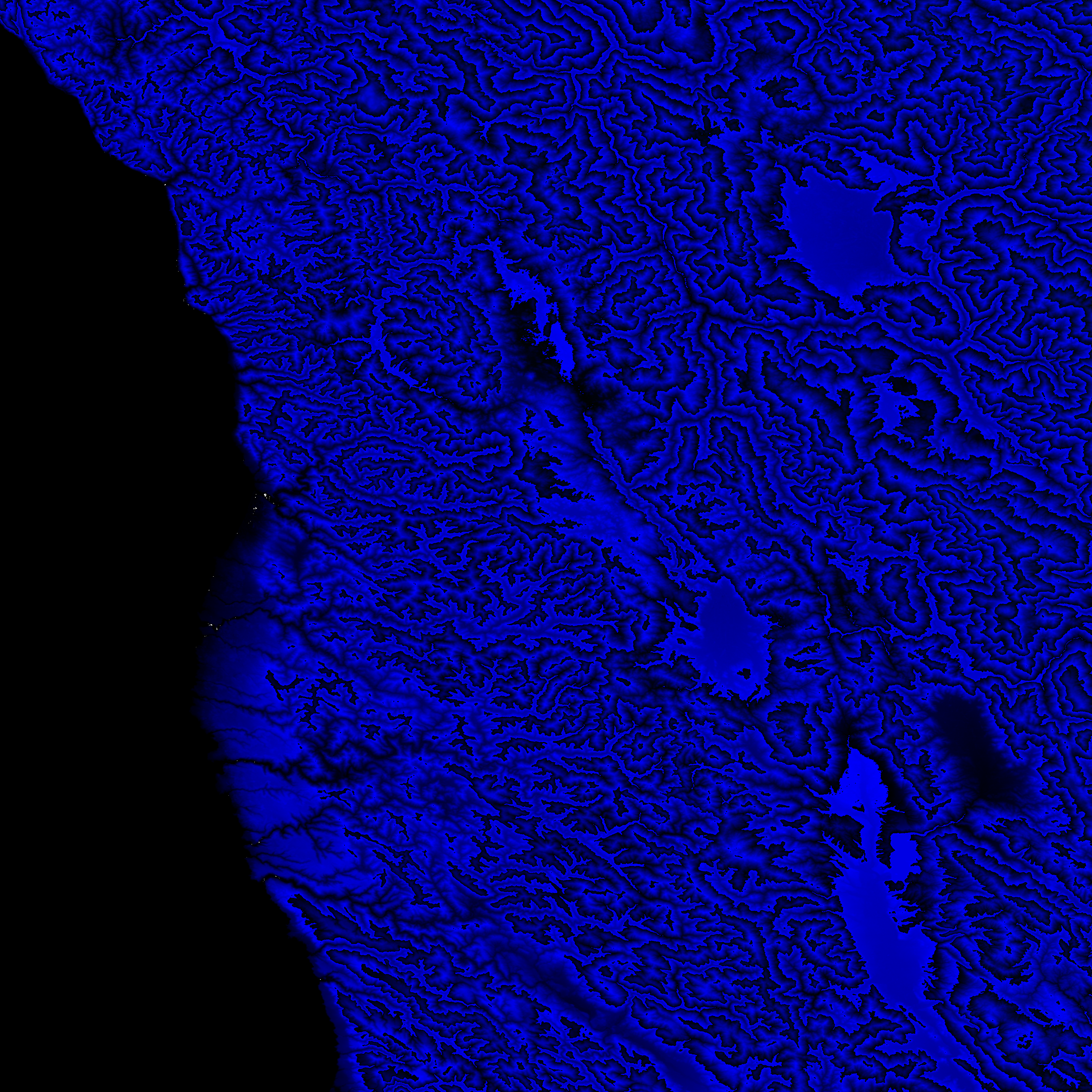
Shuttle Radar Topography Mission |
 |
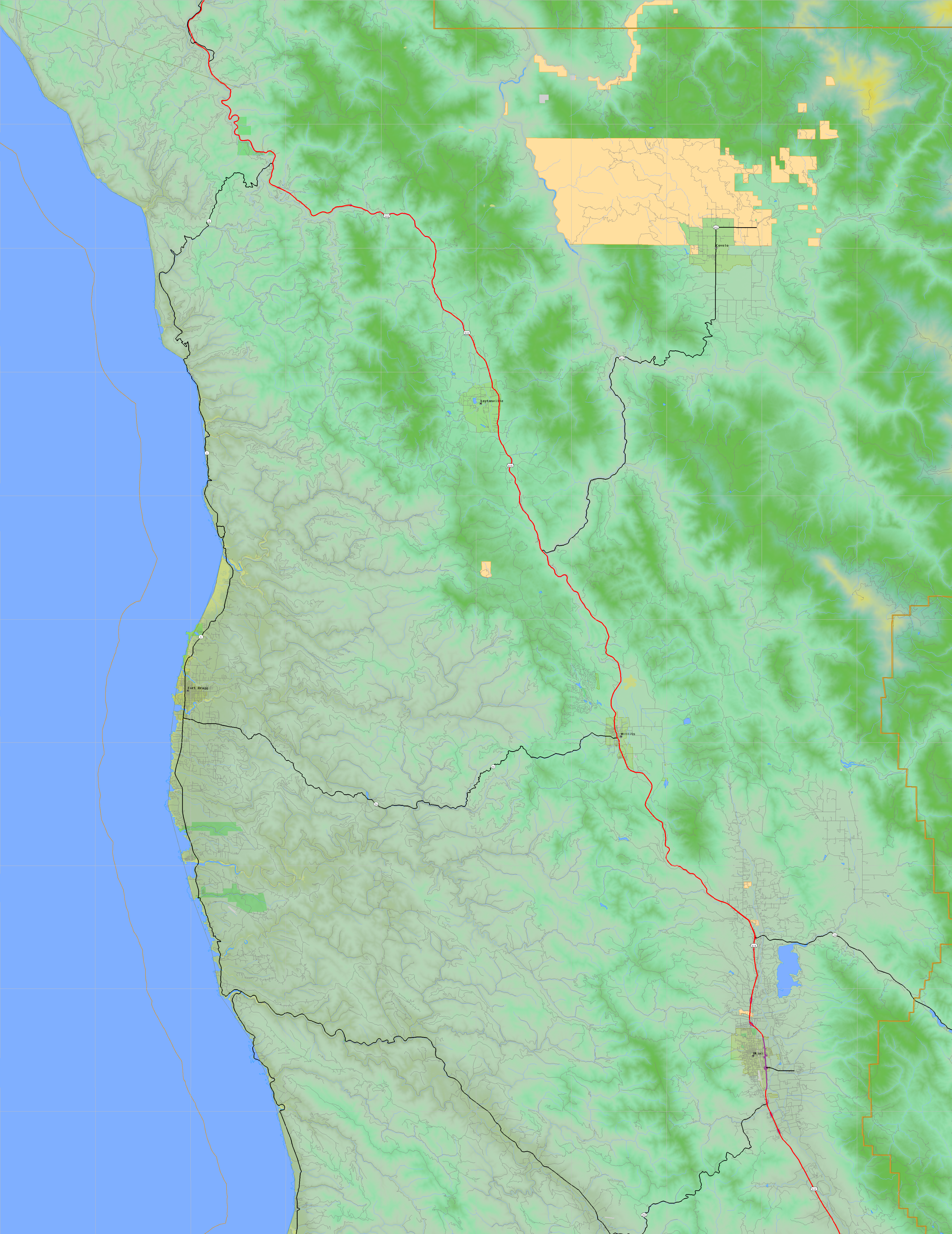
U. S. Census Bureau Tiger Map Server |
Elevation File
40N124W_el.tga.bz2 (5715722 bytes)
40N124W_el.png (7469208 bytes)
40N124W_el-uncorrected.tga.bz2 (5713374 bytes)
40N124W_el-uncorrected.png (7469230 bytes)
Texture File
40N124W_tx_c.tga.bz2 (8556707 bytes)
40N124W_tx_c.png (12775349 bytes)
 |
 |
 |
 |
 |
 |
 |
 |
 |