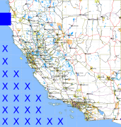
California and Nevada: 125°W/41°N to 124°W/40°N
 |
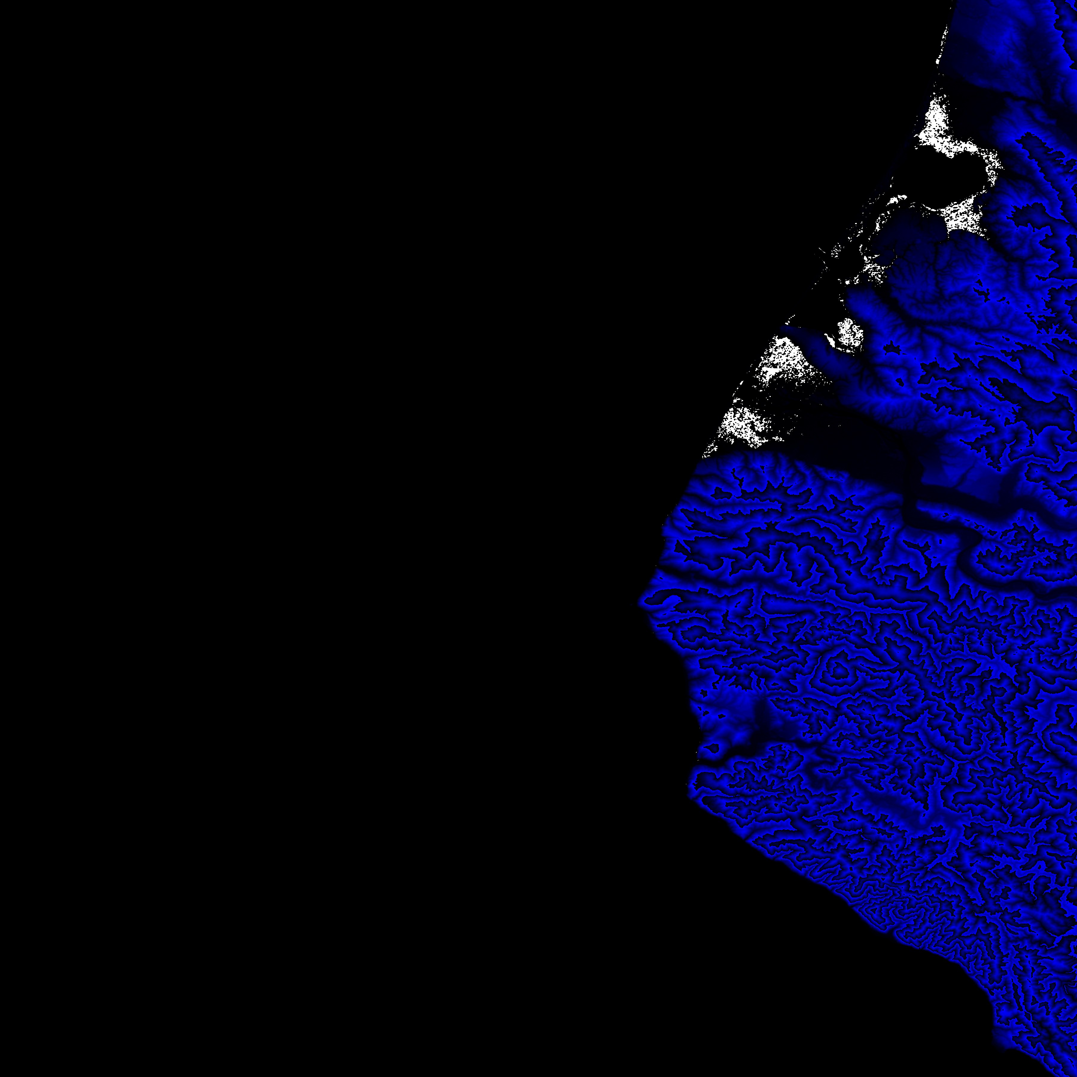
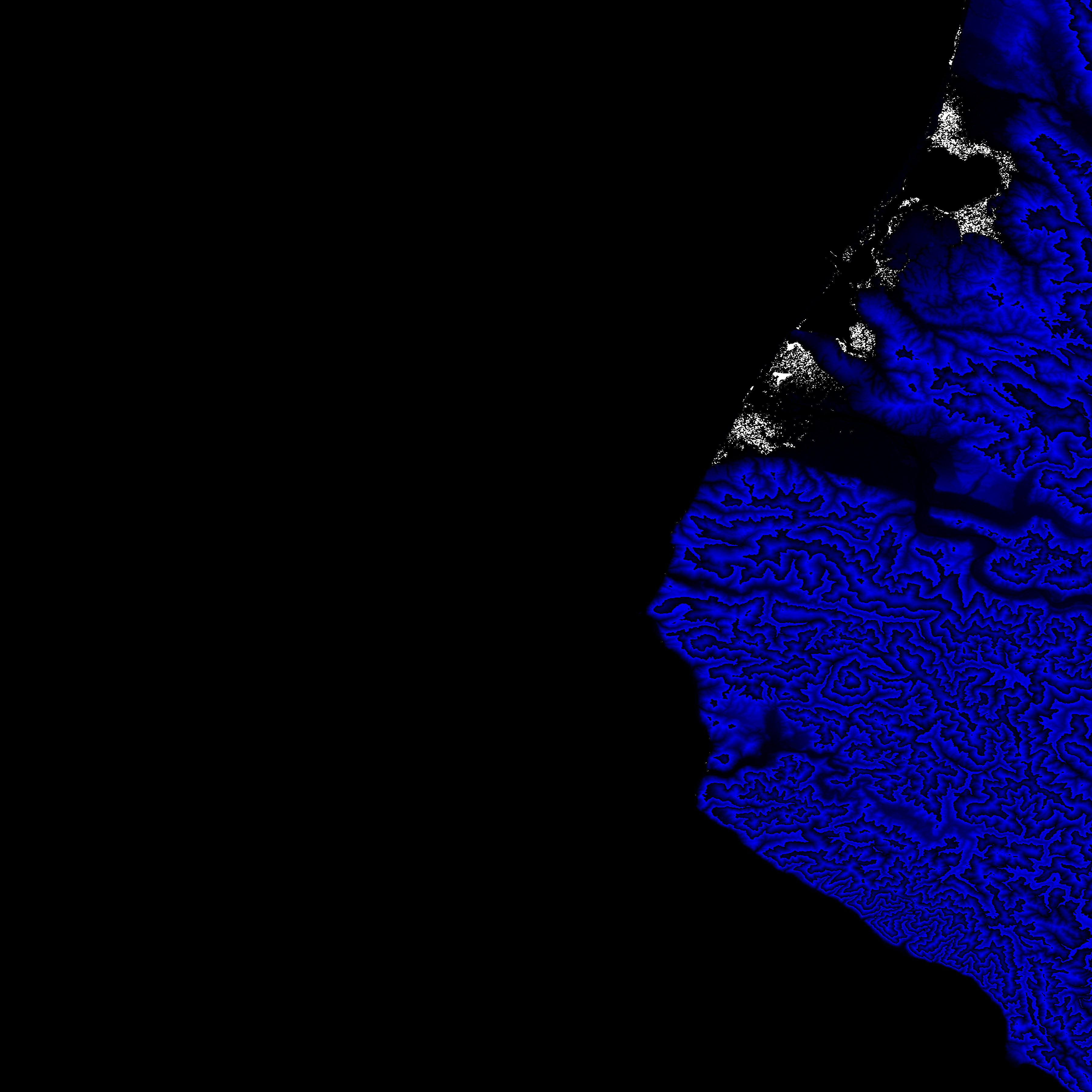
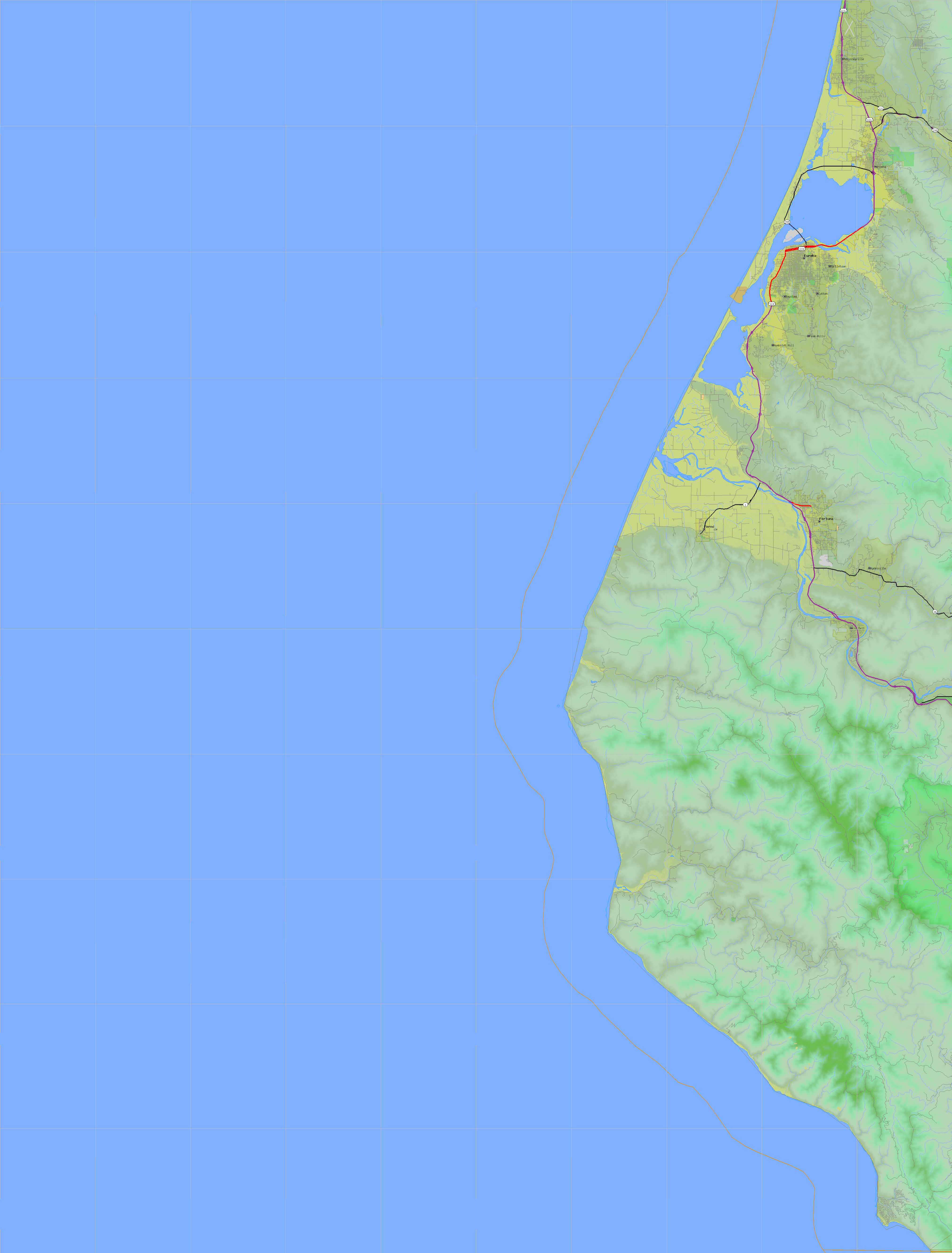
Shuttle Radar Topography Mission |
 |
U. S. Census Bureau Tiger Map Server |
Elevation File
41N125W_el.tga.bz2 (1656656 bytes)
41N125W_el.png (2497905 bytes)
41N125W_el-uncorrected.tga.bz2 (1657865 bytes)
41N125W_el-uncorrected.png (2500718 bytes)
Texture File
41N125W_tx_c.tga.bz2 (2819664 bytes)
41N125W_tx_c.png (4471084 bytes)
 |
 |
 |
 |
 |
 |
 |
 |
 |