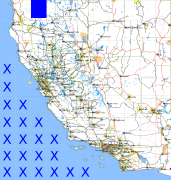
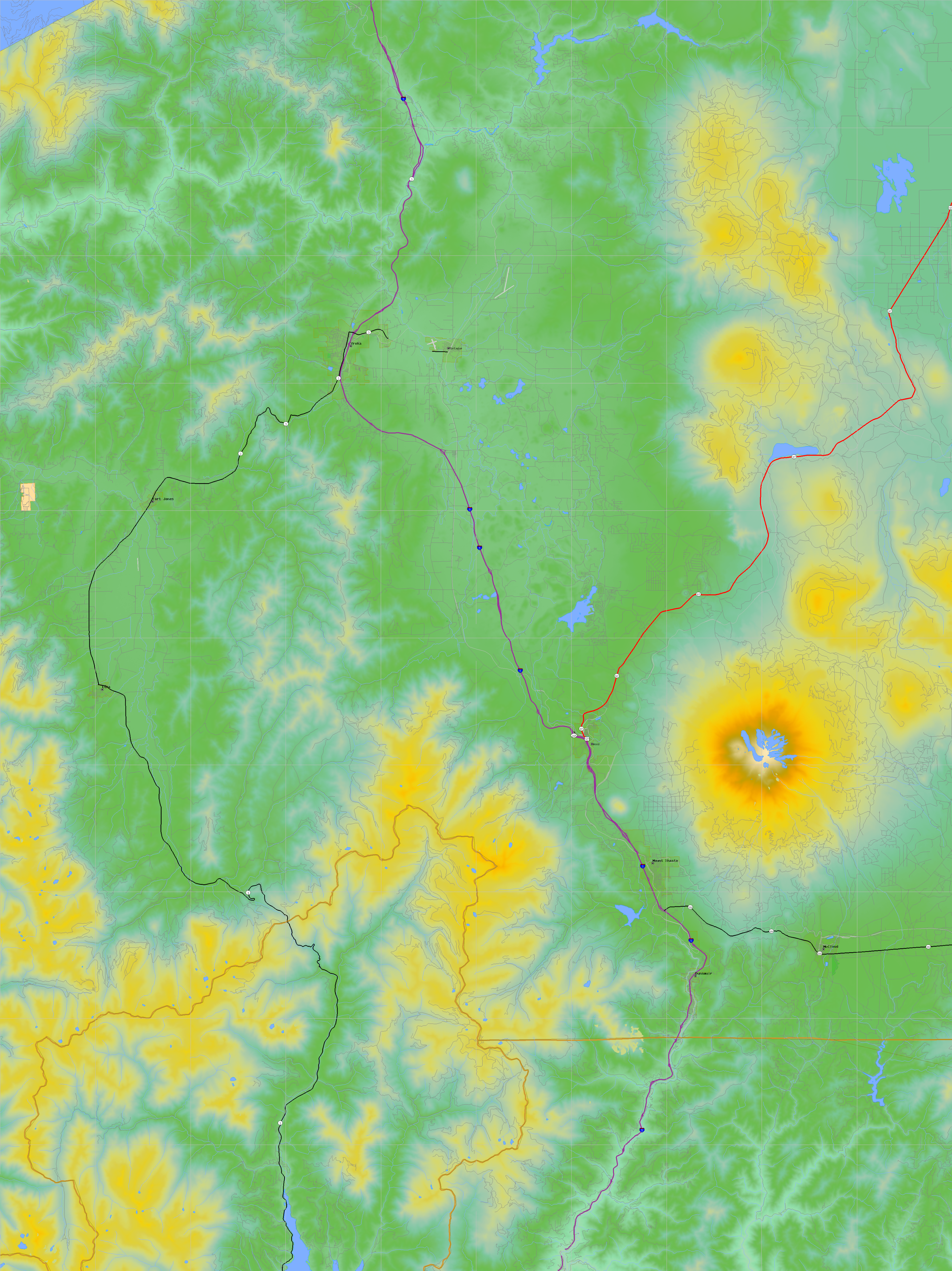
California and Nevada: 123°W/42°N to 122°W/41°N
 |
Shuttle Radar Topography Mission |
 |
U. S. Census Bureau Tiger Map Server |
Elevation File
42N123W_el.tga.bz2 (6477602 bytes)
42N123W_el.png (8227130 bytes)
42N123W_el-uncorrected.tga.bz2 (6473323 bytes)
42N123W_el-uncorrected.png (8225577 bytes)
Texture File
42N123W_tx_c.tga.bz2 (10410119 bytes)
42N123W_tx_c.png (15158848 bytes)
 |
 |
 |
 |
 |
 |
 |
 |
 |