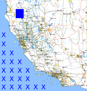
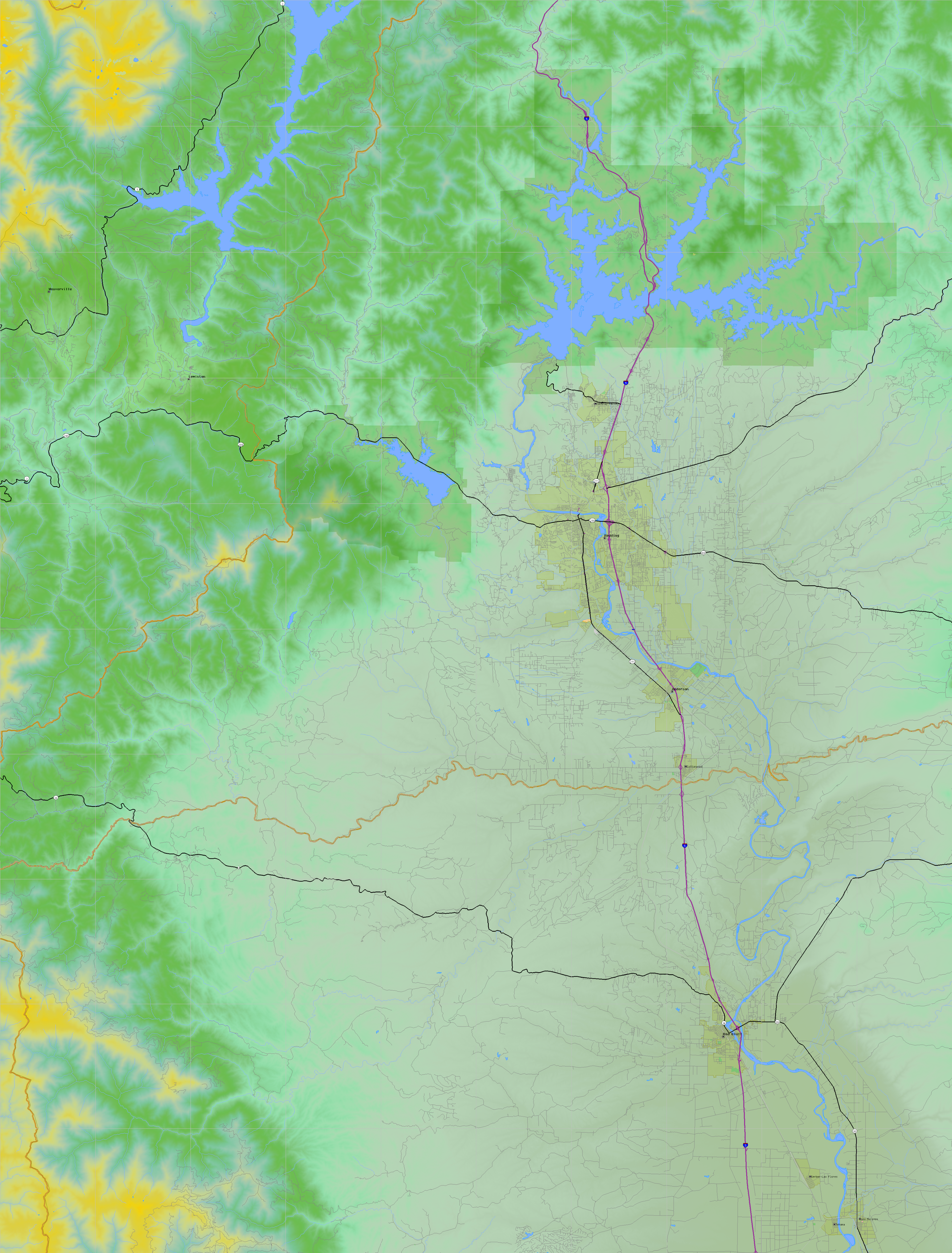
California and Nevada: 123°W/41°N to 122°W/40°N
 |
Shuttle Radar Topography Mission |
 |
U. S. Census Bureau Tiger Map Server |
Elevation File
41N123W_el.tga.bz2 (6357989 bytes)
41N123W_el.png (8154502 bytes)
41N123W_el-uncorrected.tga.bz2 (6362964 bytes)
41N123W_el-uncorrected.png (8154961 bytes)
Texture File
41N123W_tx_c.tga.bz2 (9015449 bytes)
41N123W_tx_c.png (13299261 bytes)
 |
 |
 |
 |
 |
 |
 |
 |
 |