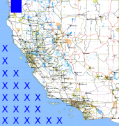
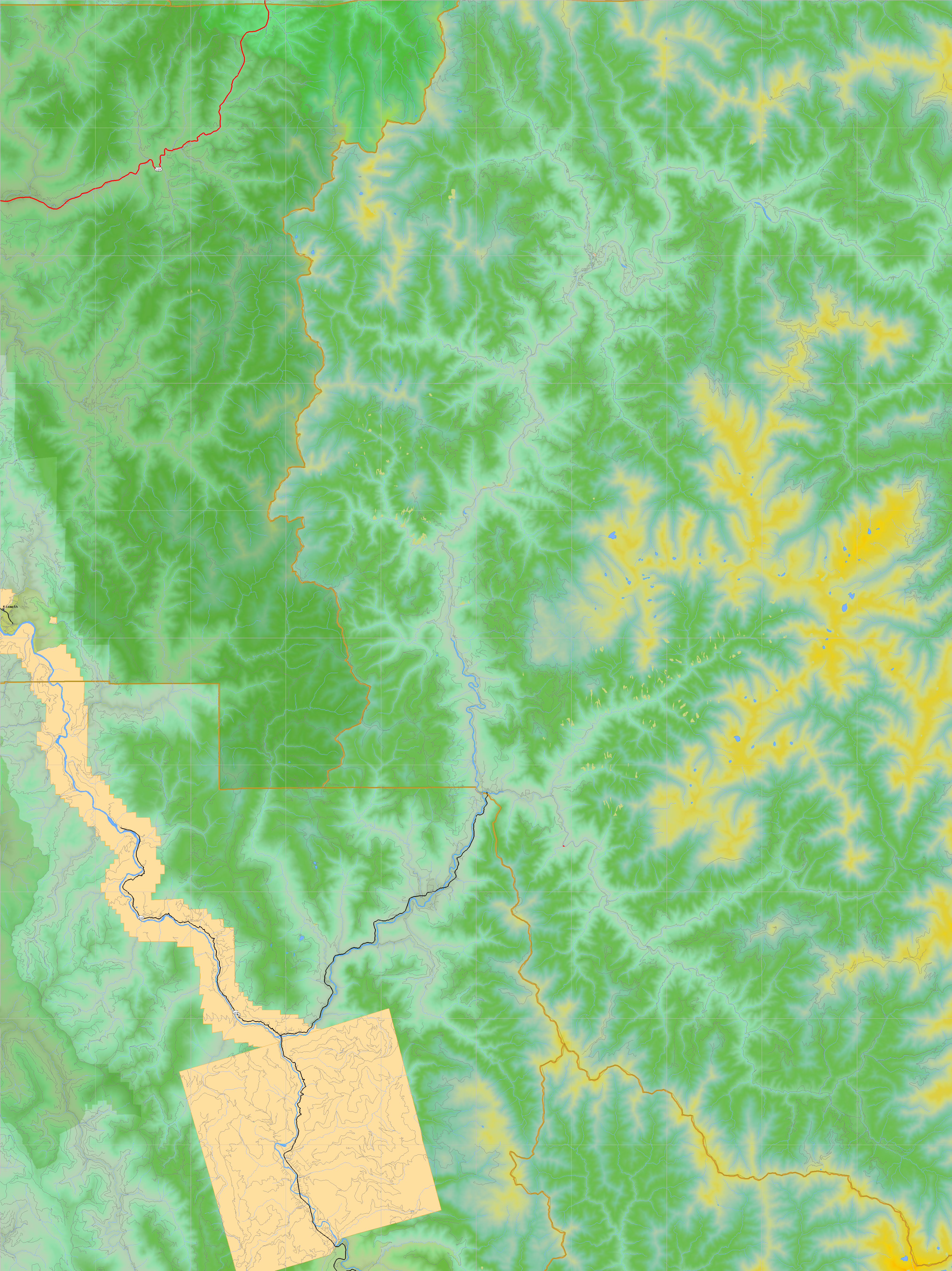
California and Nevada: 124°W/42°N to 123°W/41°N
 |
Shuttle Radar Topography Mission |
 |
U. S. Census Bureau Tiger Map Server |
Elevation File
42N124W_el.tga.bz2 (7851547 bytes)
42N124W_el.png (9955754 bytes)
42N124W_el-uncorrected.tga.bz2 (7854175 bytes)
42N124W_el-uncorrected.png (9963820 bytes)
Texture File
42N124W_tx_c.tga.bz2 (11644765 bytes)
42N124W_tx_c.png (17086102 bytes)
 |
 |
 |
 |
 |
 |
 |
 |
 |