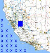
California and Nevada: 121°W/38°N to 120°W/37°N
 |
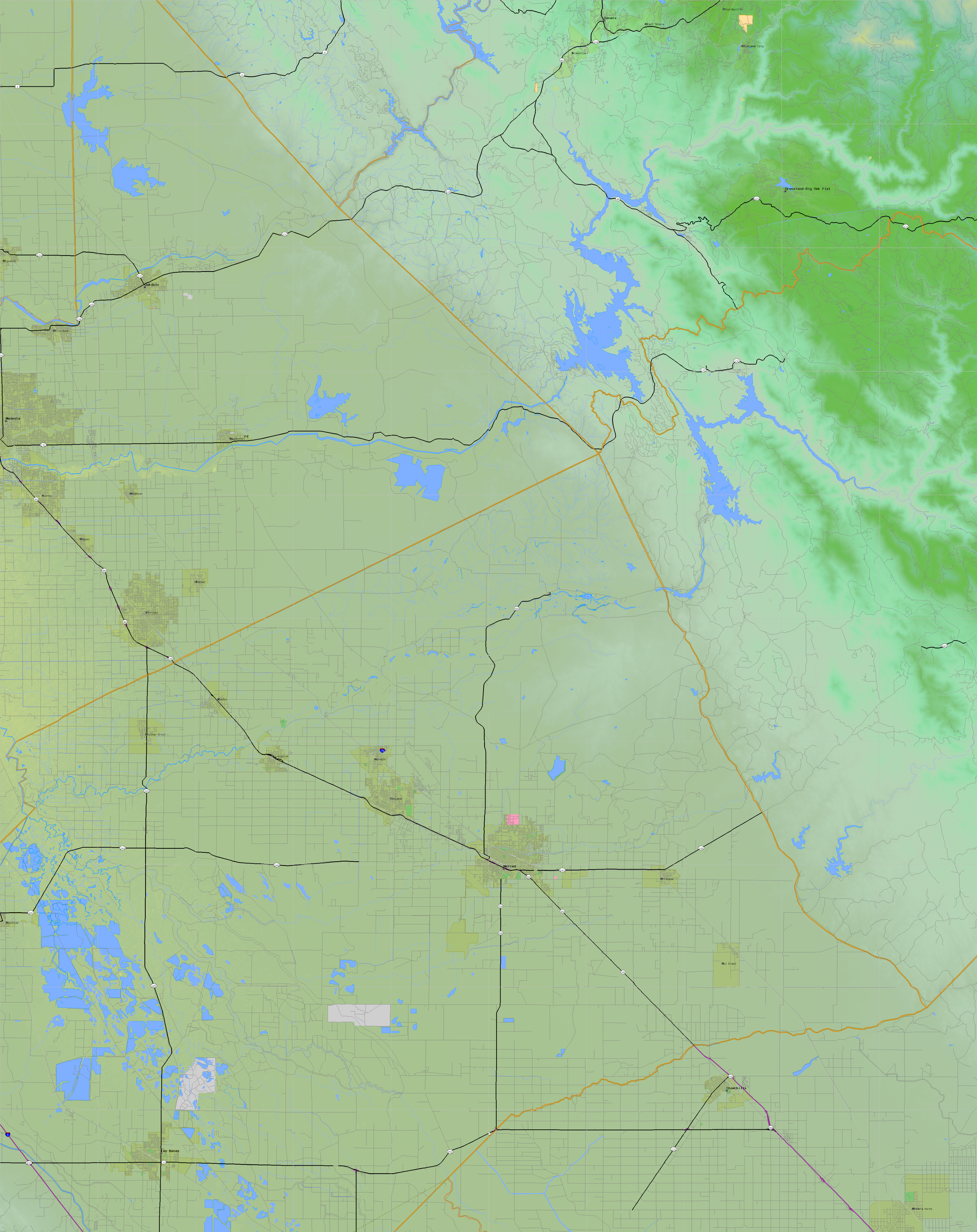
Shuttle Radar Topography Mission |
 |
U. S. Census Bureau Tiger Map Server |
Elevation File
38N121W_el.tga.bz2 (5030221 bytes)
38N121W_el.png (6481152 bytes)
38N121W_el-uncorrected.tga.bz2 (5036852 bytes)
38N121W_el-uncorrected.png (6481644 bytes)
Texture File
38N121W_tx_c.tga.bz2 (6965145 bytes)
38N121W_tx_c.png (10308359 bytes)
 |
 |
 |
 |
 |
 |
 |
 |
 |