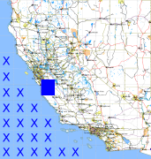
California and Nevada: 122°W/37°N to 121°W/36°N
 |
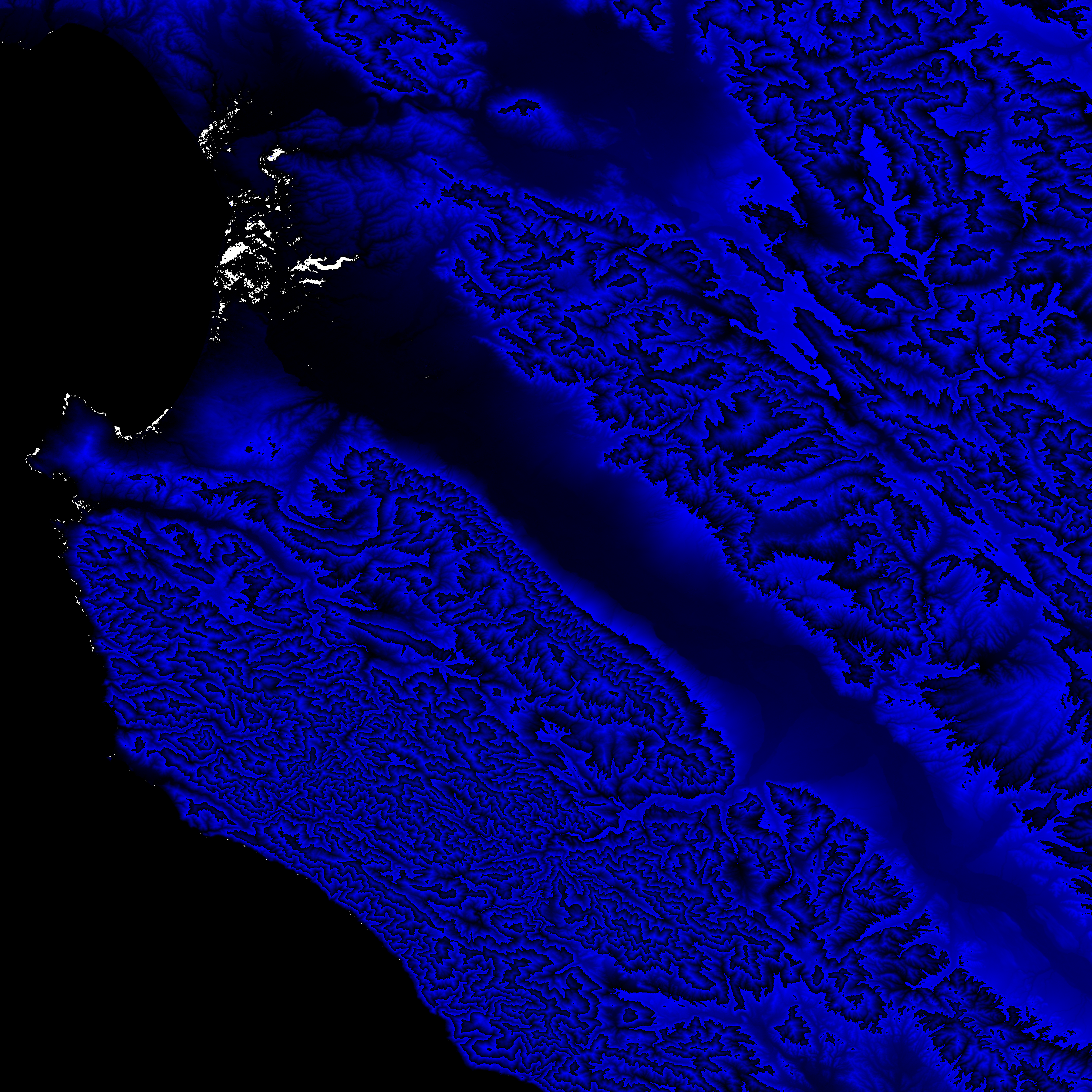
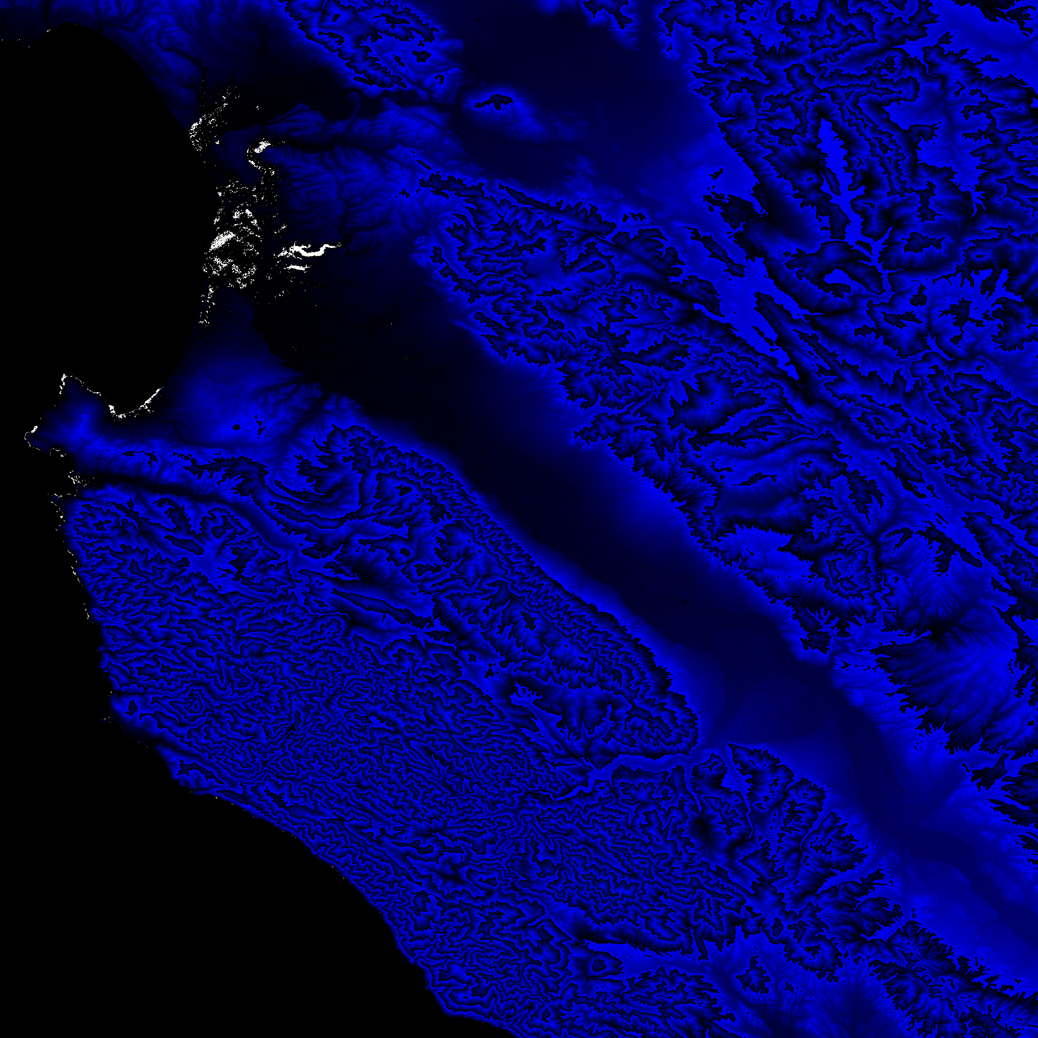
Shuttle Radar Topography Mission |
 |
U. S. Census Bureau Tiger Map Server |
Elevation File
37N122W_el.tga.bz2 (5591733 bytes)
37N122W_el.png (7399879 bytes)
37N122W_el-uncorrected.tga.bz2 (5591541 bytes)
37N122W_el-uncorrected.png (7399485 bytes)
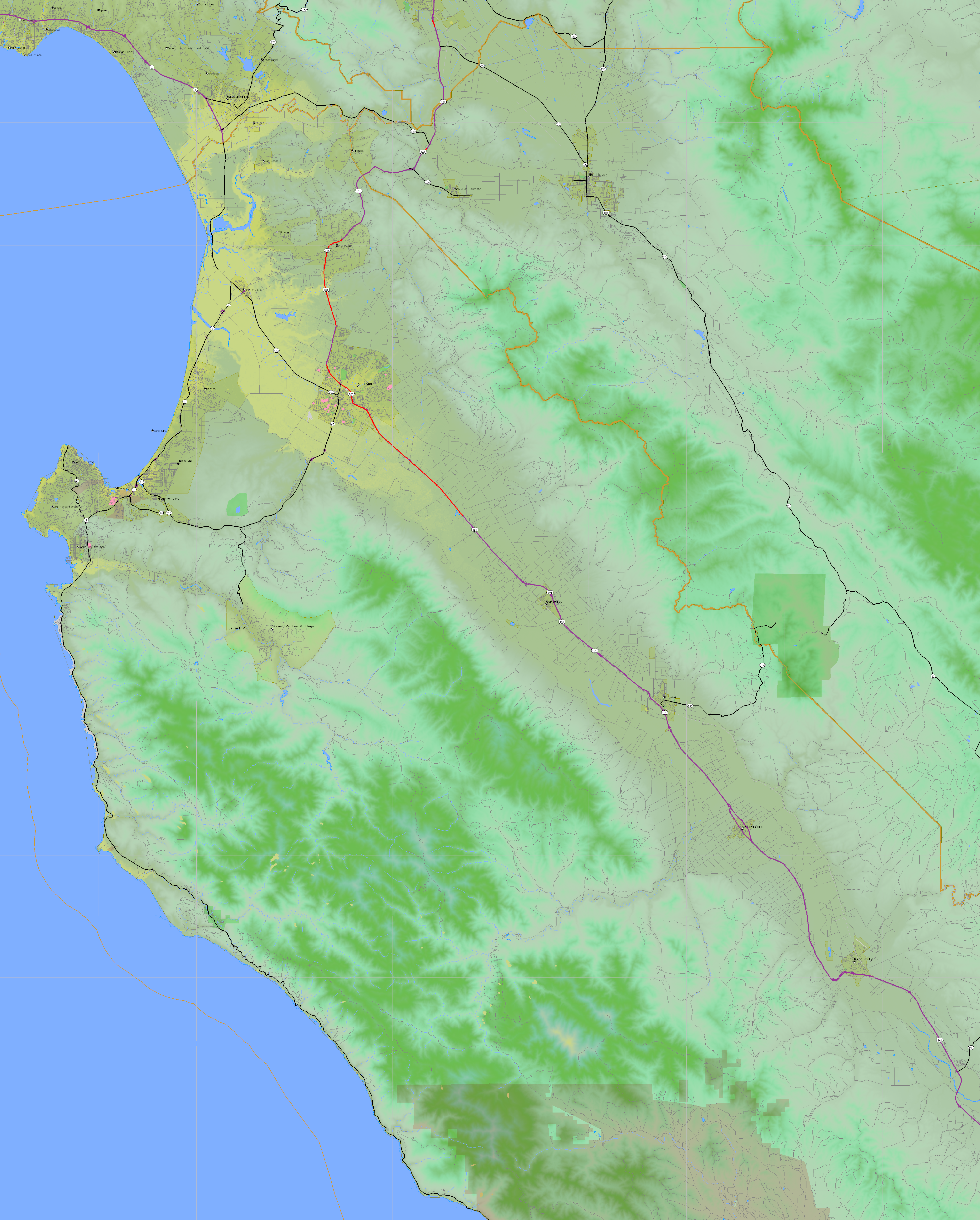
Texture File
37N122W_tx_c.tga.bz2 (7847107 bytes)
37N122W_tx_c.png (11990308 bytes)
 |
 |
 |
 |
 |
 |
 |
 |
 |