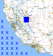
California and Nevada: 120°W/39°N to 119°W/38°N
 |
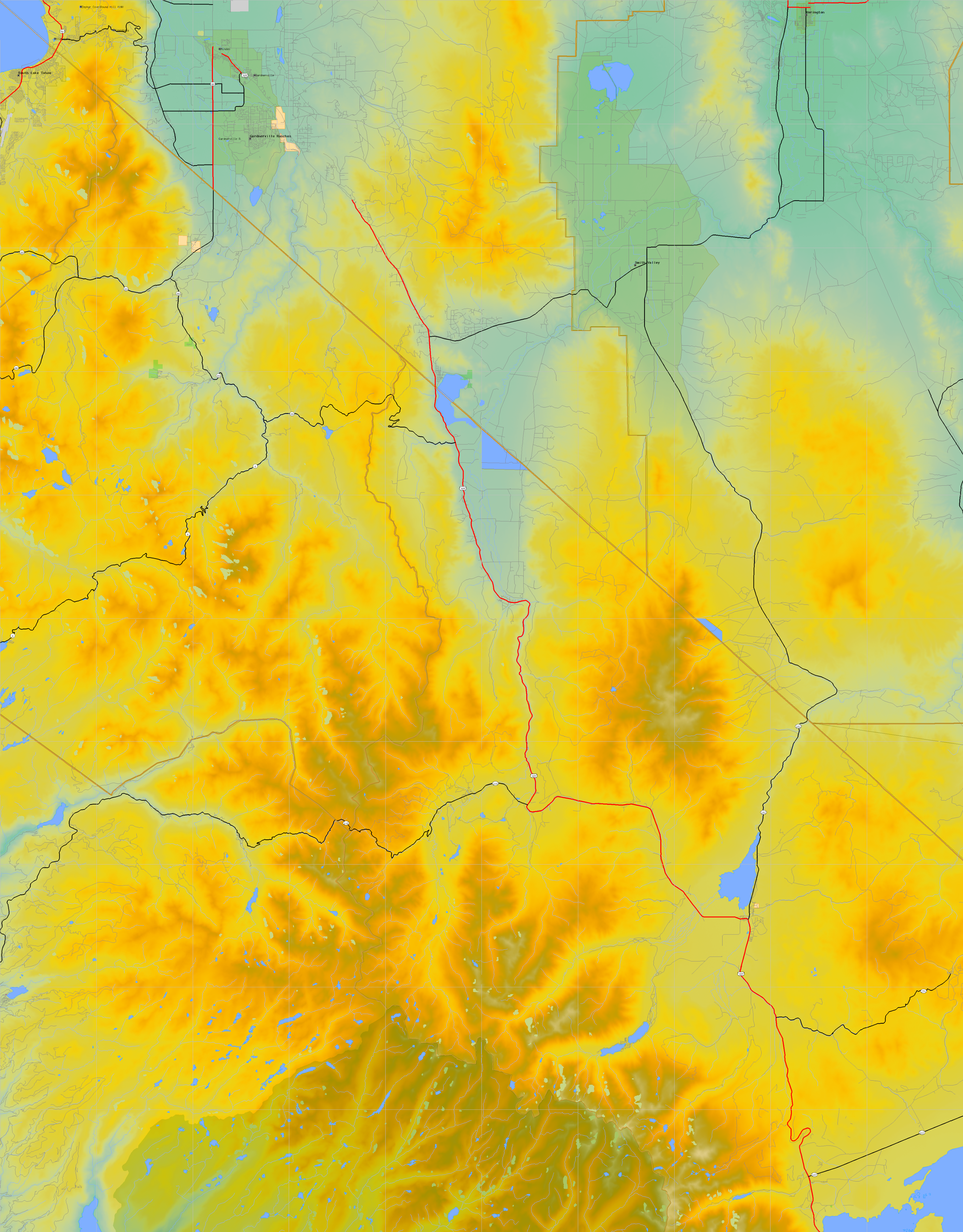
Shuttle Radar Topography Mission |
 |
U. S. Census Bureau Tiger Map Server |
Elevation File
39N120W_el.tga.bz2 (6915576 bytes)
39N120W_el.png (8805499 bytes)
39N120W_el-uncorrected.tga.bz2 (6879198 bytes)
39N120W_el-uncorrected.png (8779626 bytes)
Texture File
39N120W_tx_c.tga.bz2 (8236076 bytes)
39N120W_tx_c.png (12199150 bytes)
 |
 |
 |
 |
 |
 |
 |
 |
 |