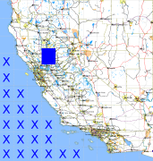
California and Nevada: 122°W/39°N to 121°W/38°N
 |
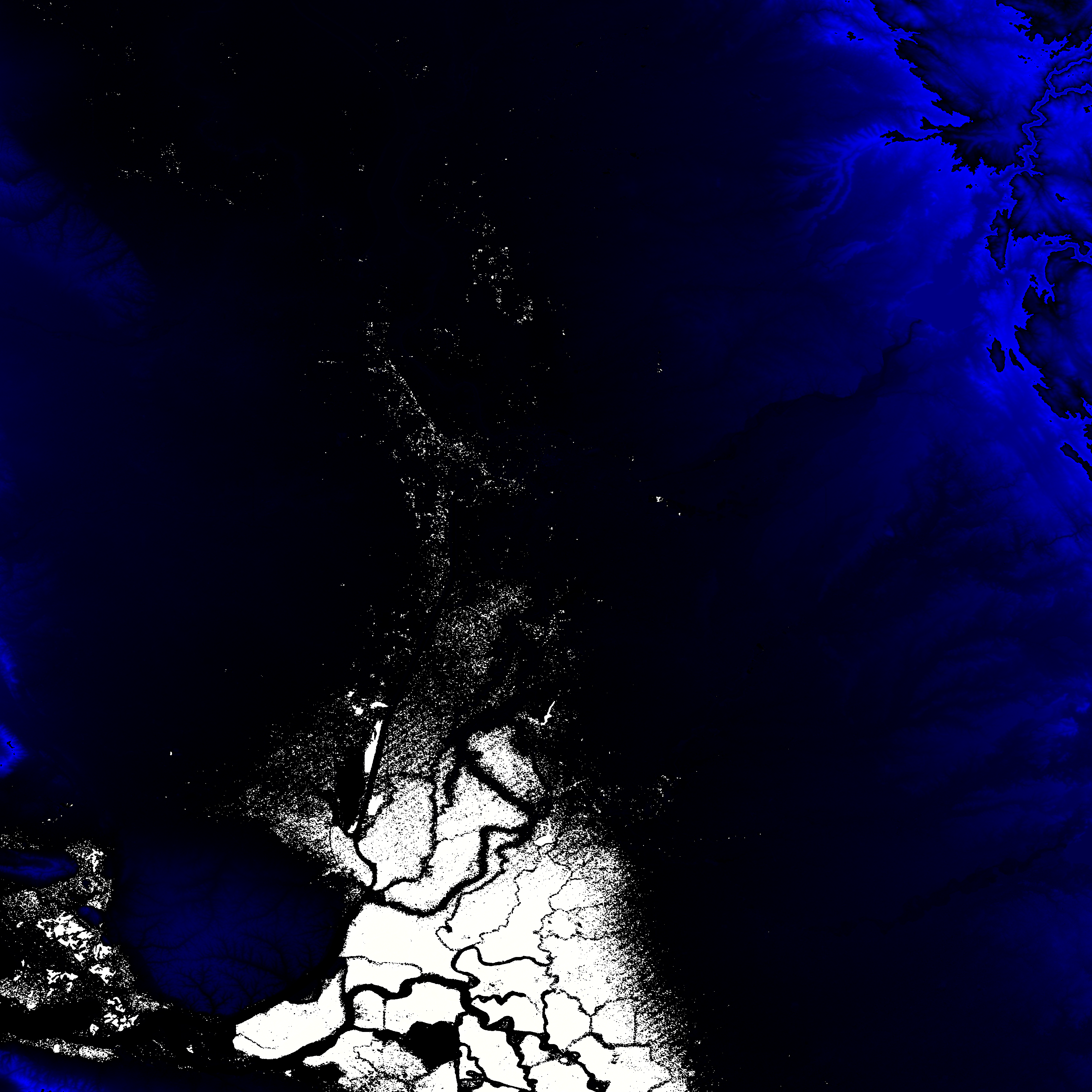
Shuttle Radar Topography Mission |
 |
U. S. Census Bureau Tiger Map Server |
Elevation File
39N122W_el.tga.bz2 (3859351 bytes)
39N122W_el.png (5082362 bytes)
39N122W_el-uncorrected.tga.bz2 (3858608 bytes)
39N122W_el-uncorrected.png (5082401 bytes)
Texture File
39N122W_tx_c.tga.bz2 (7541214 bytes)
39N122W_tx_c.png (11676452 bytes)
 |
 |
 |
 |
 |
 |
 |
 |
 |