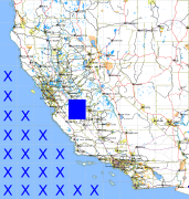
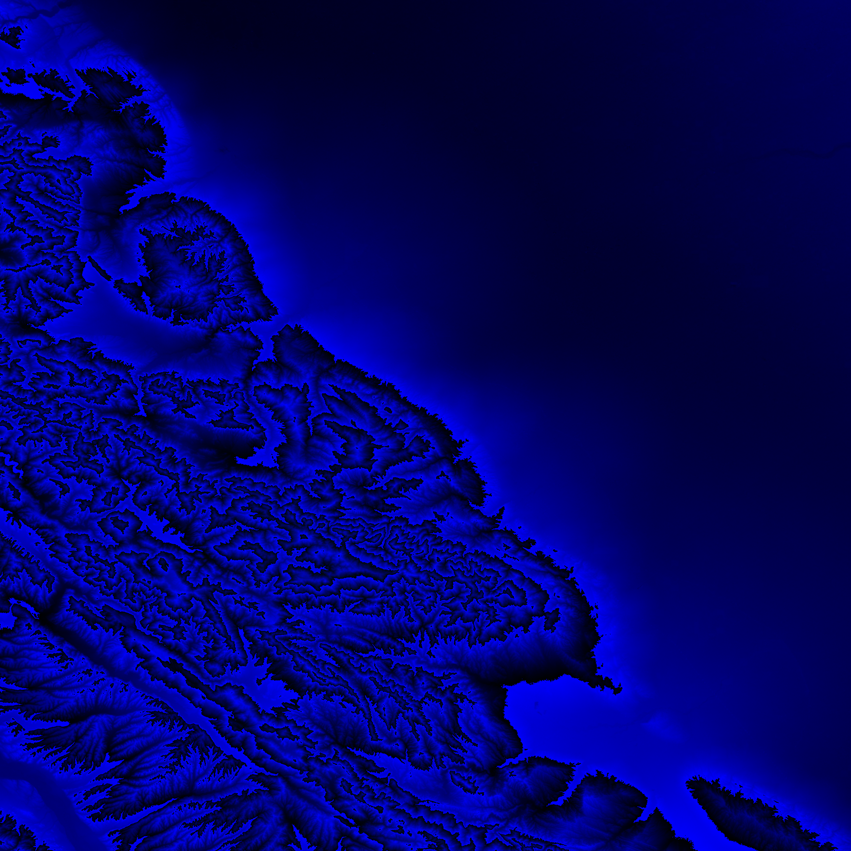
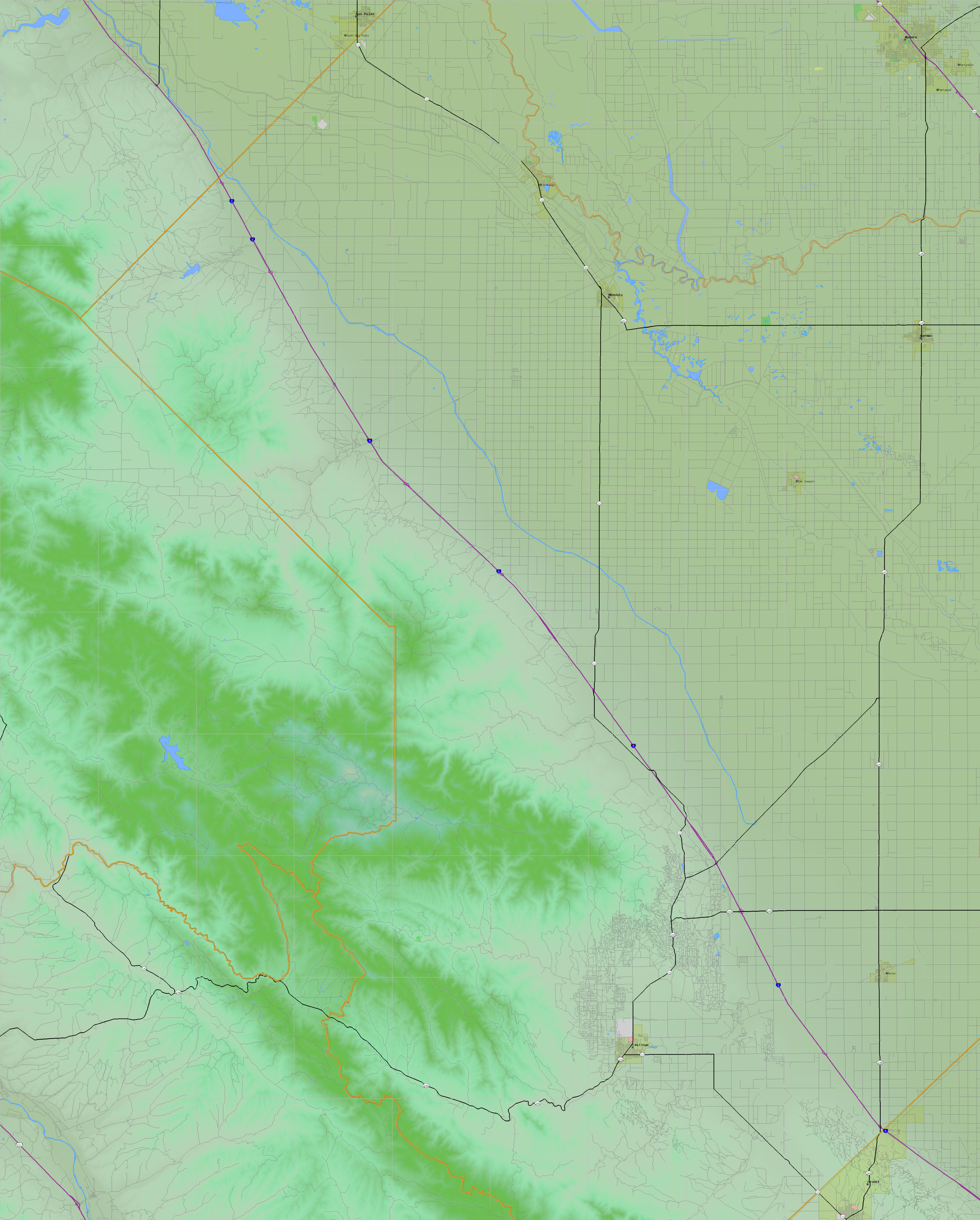
California and Nevada: 121°W/37°N to 120°W/36°N
 |
Shuttle Radar Topography Mission |
 |
U. S. Census Bureau Tiger Map Server |
Elevation File
37N121W_el.tga.bz2 (5318839 bytes)
37N121W_el.png (7020837 bytes)
37N121W_el-uncorrected.tga.bz2 (5315920 bytes)
37N121W_el-uncorrected.png (7021044 bytes)
Texture File
37N121W_tx_c.tga.bz2 (5948748 bytes)
37N121W_tx_c.png (9265403 bytes)
 |
 |
 |
 |
 |
 |
 |
 |
 |