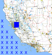
California and Nevada: 122°W/38°N to 121°W/37°N
 |
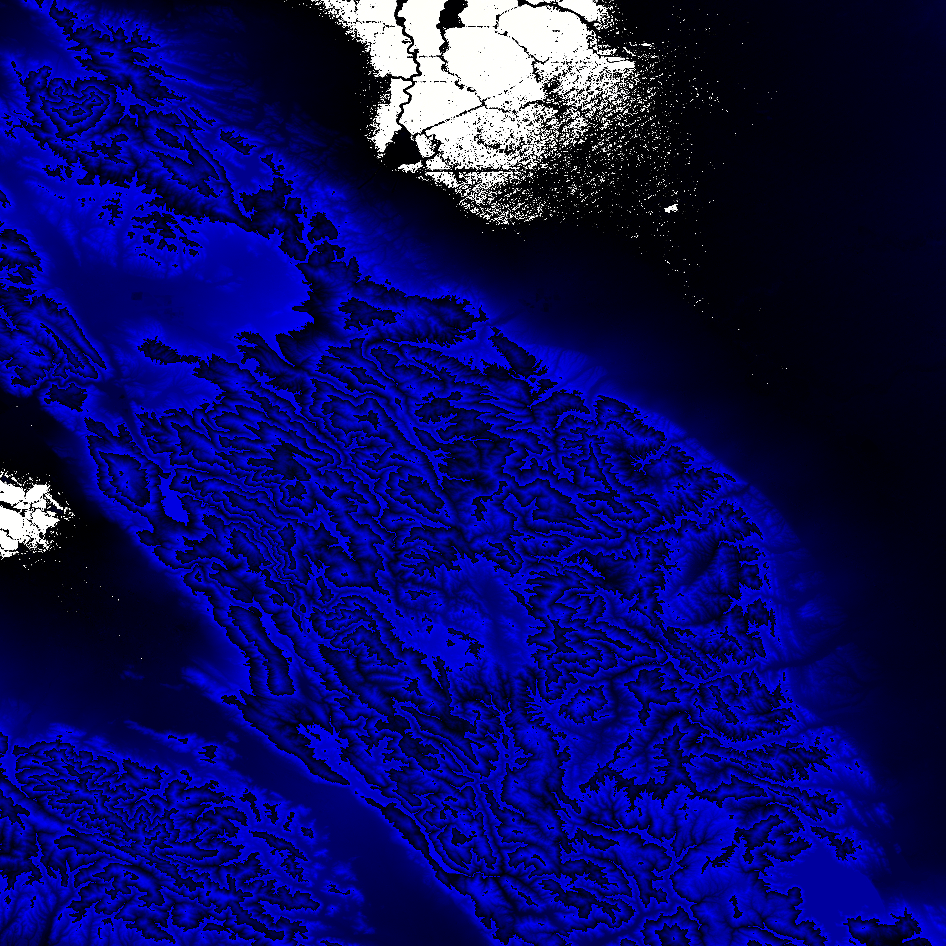
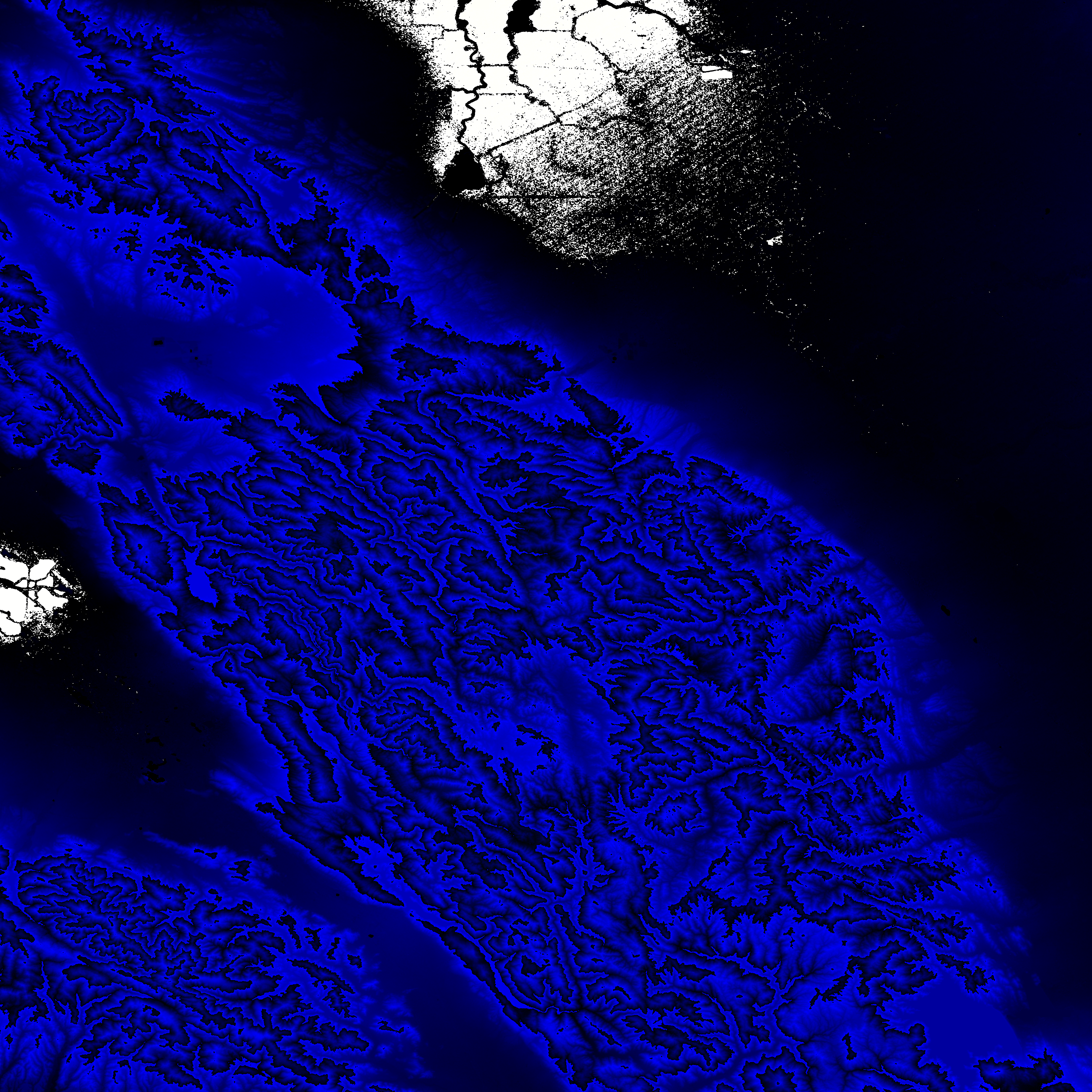
Shuttle Radar Topography Mission |
 |
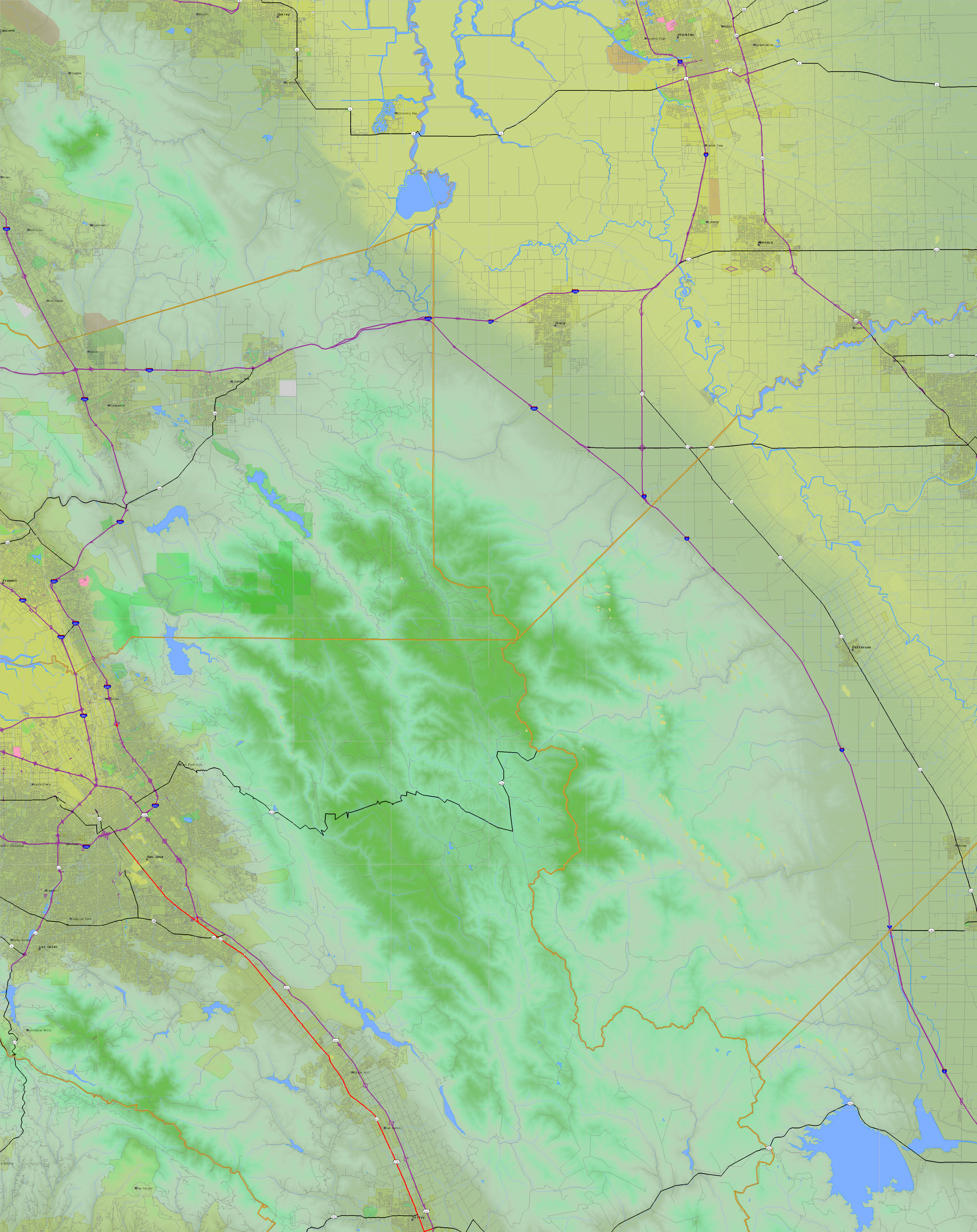
U. S. Census Bureau Tiger Map Server |
Elevation File
38N122W_el.tga.bz2 (5969207 bytes)
38N122W_el.png (7871372 bytes)
38N122W_el-uncorrected.tga.bz2 (5976959 bytes)
38N122W_el-uncorrected.png (7885536 bytes)
Texture File
38N122W_tx_c.tga.bz2 (9483292 bytes)
38N122W_tx_c.png (14334695 bytes)
 |
 |
 |
 |
 |
 |
 |
 |
 |