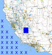
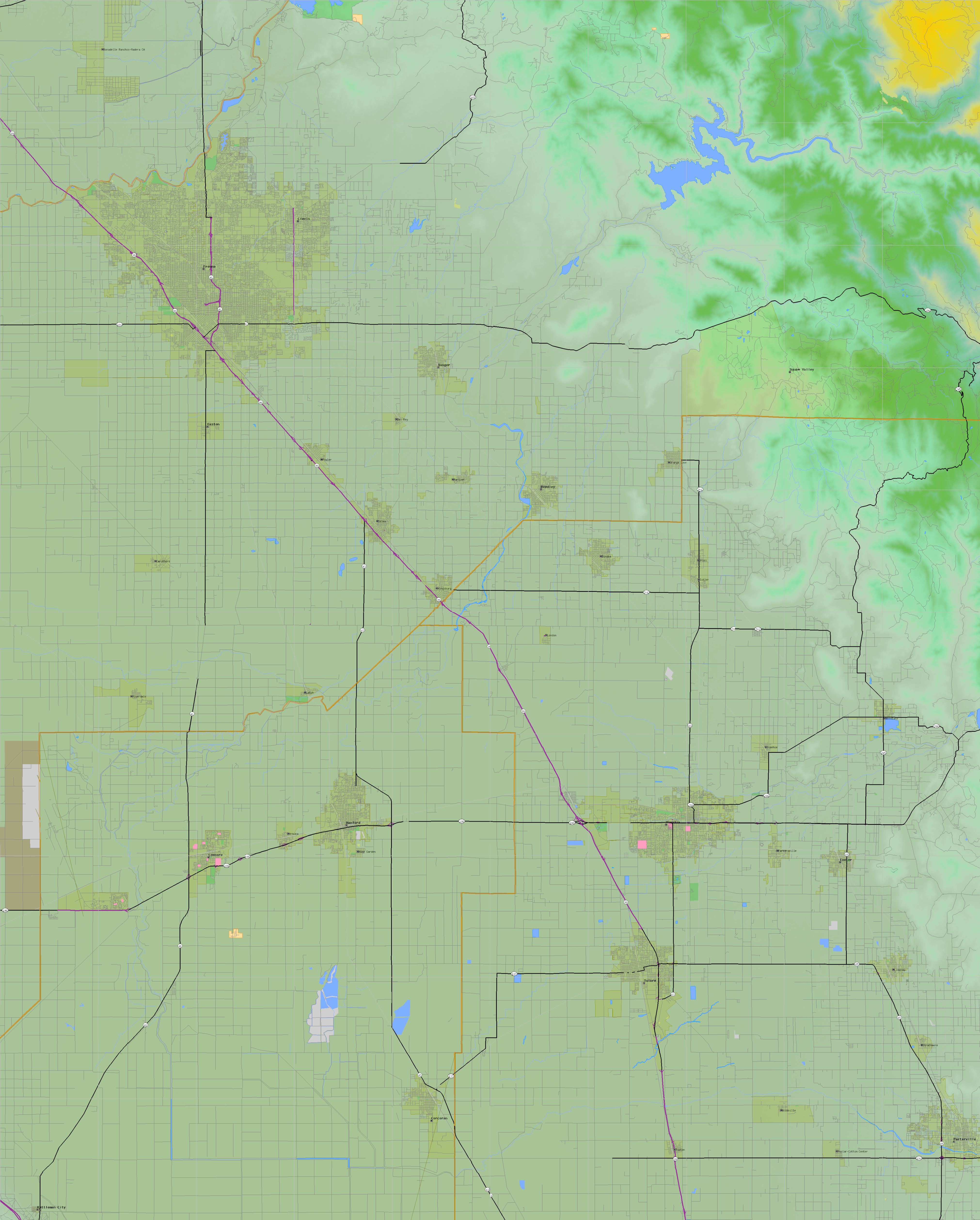
California and Nevada: 120°W/37°N to 119°W/36°N
 |
Shuttle Radar Topography Mission |
 |
U. S. Census Bureau Tiger Map Server |
Elevation File
37N120W_el.tga.bz2 (4419660 bytes)
37N120W_el.png (5731271 bytes)
37N120W_el-uncorrected.tga.bz2 (4423744 bytes)
37N120W_el-uncorrected.png (5730048 bytes)
Texture File
37N120W_tx_c.tga.bz2 (5180373 bytes)
37N120W_tx_c.png (7746502 bytes)
 |
 |
 |
 |
 |
 |
 |
 |
 |