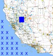
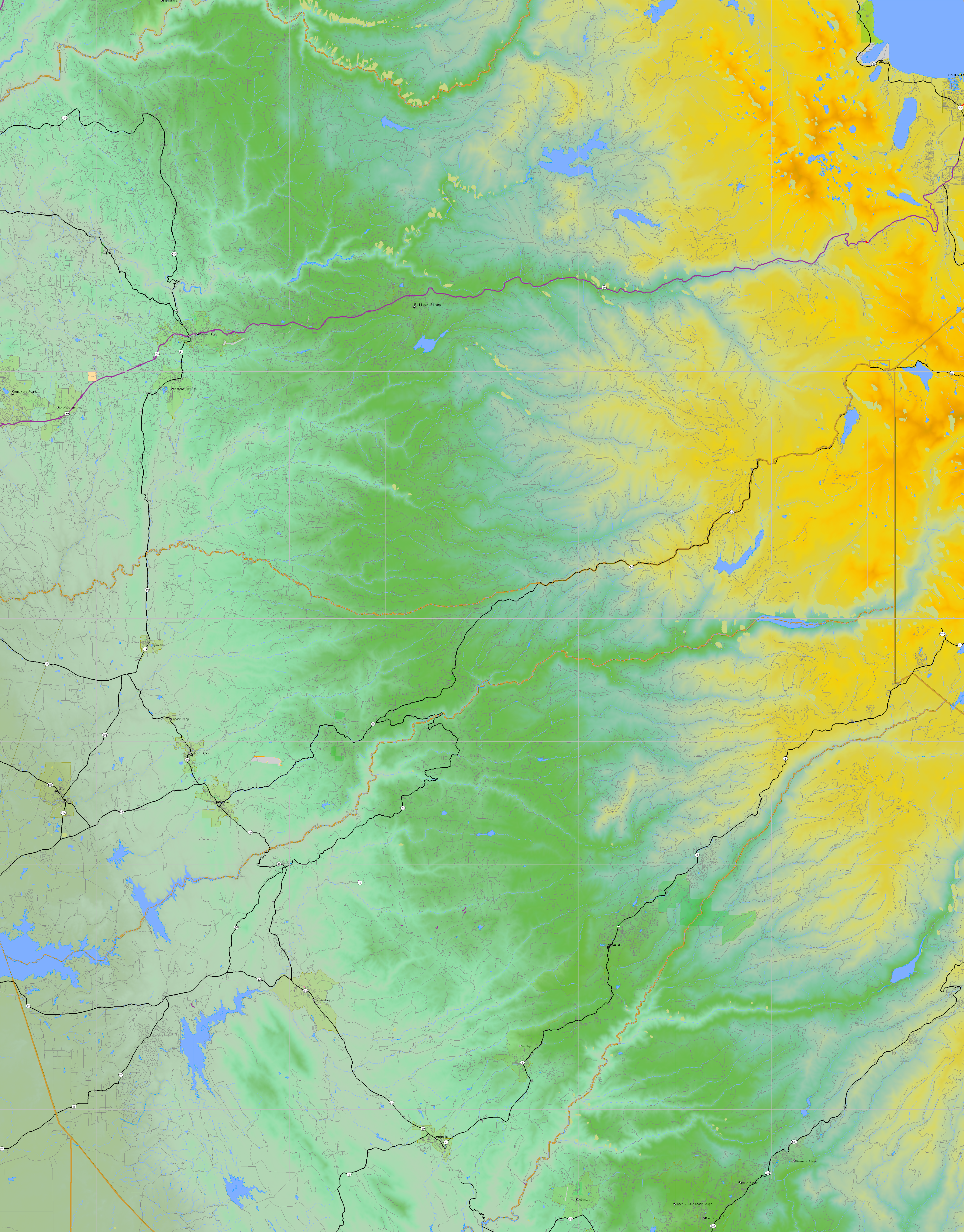
California and Nevada: 121°W/39°N to 120°W/38°N
 |
Shuttle Radar Topography Mission |
 |
U. S. Census Bureau Tiger Map Server |
Elevation File
39N121W_el.tga.bz2 (7110175 bytes)
39N121W_el.png (8729923 bytes)
39N121W_el-uncorrected.tga.bz2 (7073320 bytes)
39N121W_el-uncorrected.png (8707512 bytes)
Texture File
39N121W_tx_c.tga.bz2 (11342439 bytes)
39N121W_tx_c.png (15655131 bytes)
 |
 |
 |
 |
 |
 |
 |
 |
 |