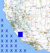
California and Nevada: 121°W/36°N to 120°W/35°N
 |
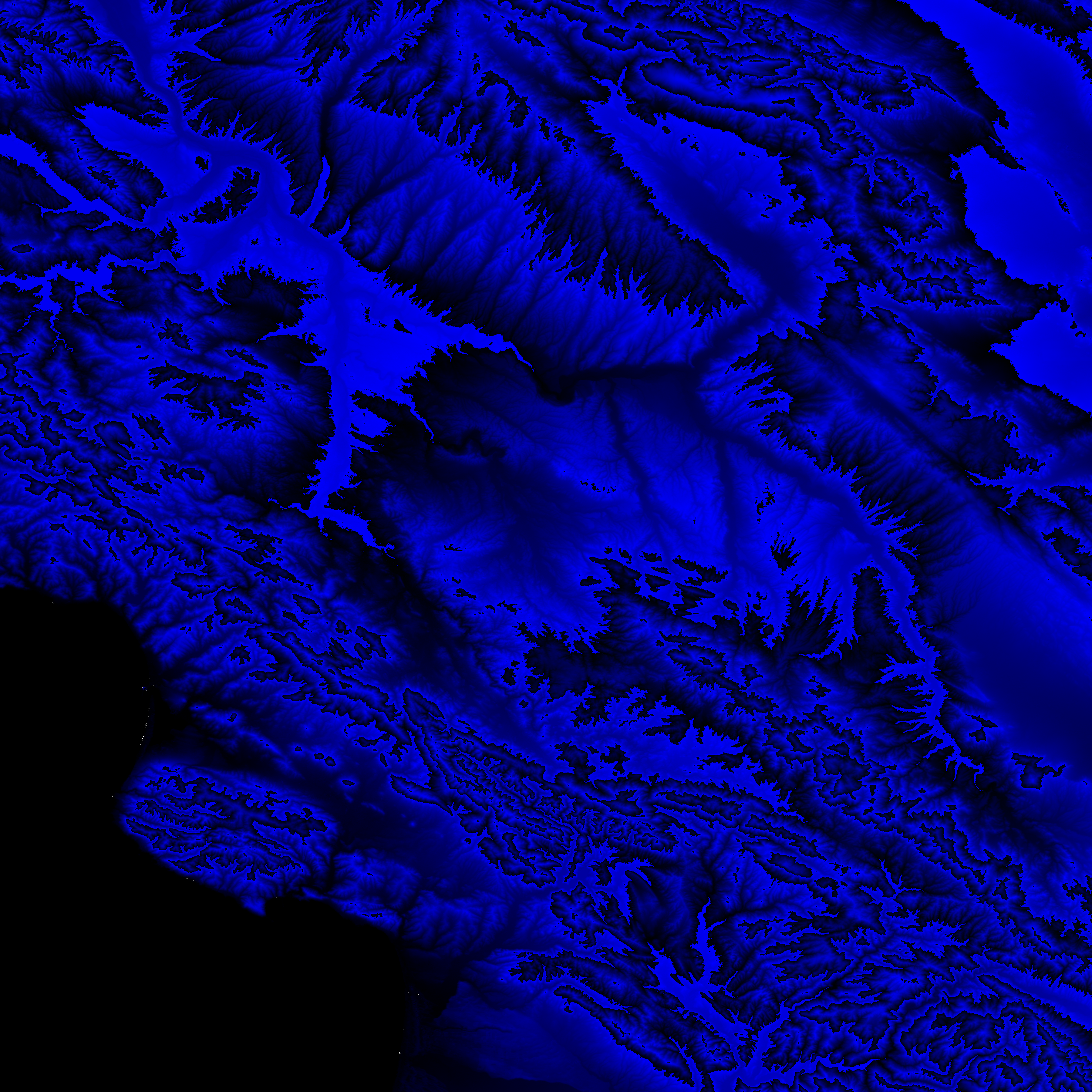
Shuttle Radar Topography Mission |
 |
U. S. Census Bureau Tiger Map Server |
Elevation File
36N121W_el.tga.bz2 (5700395 bytes)
36N121W_el.png (7449883 bytes)
36N121W_el-uncorrected.tga.bz2 (5702486 bytes)
36N121W_el-uncorrected.png (7450031 bytes)
Texture File
36N121W_tx_c.tga.bz2 (6807648 bytes)
36N121W_tx_c.png (10558289 bytes)
 |
 |
 |
 |
 |
 |
 |
 |
 |