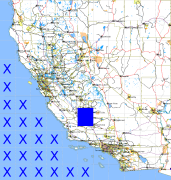
California and Nevada: 120°W/36°N to 119°W/35°N
 |
Shuttle Radar Topography Mission |
 |
U. S. Census Bureau Tiger Map Server |
Elevation File
36N120W_el.tga.bz2 (4329183 bytes)
36N120W_el.png (5587380 bytes)
36N120W_el-uncorrected.tga.bz2 (4329703 bytes)
36N120W_el-uncorrected.png (5587885 bytes)
Texture File
36N120W_tx_c.tga.bz2 (4600922 bytes)
36N120W_tx_c.png (6935012 bytes)
 |
 |
 |
 |
 |
 |
 |
 |
 |