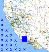
California and Nevada: 120°W/35°N to 119°W/34°N
 |
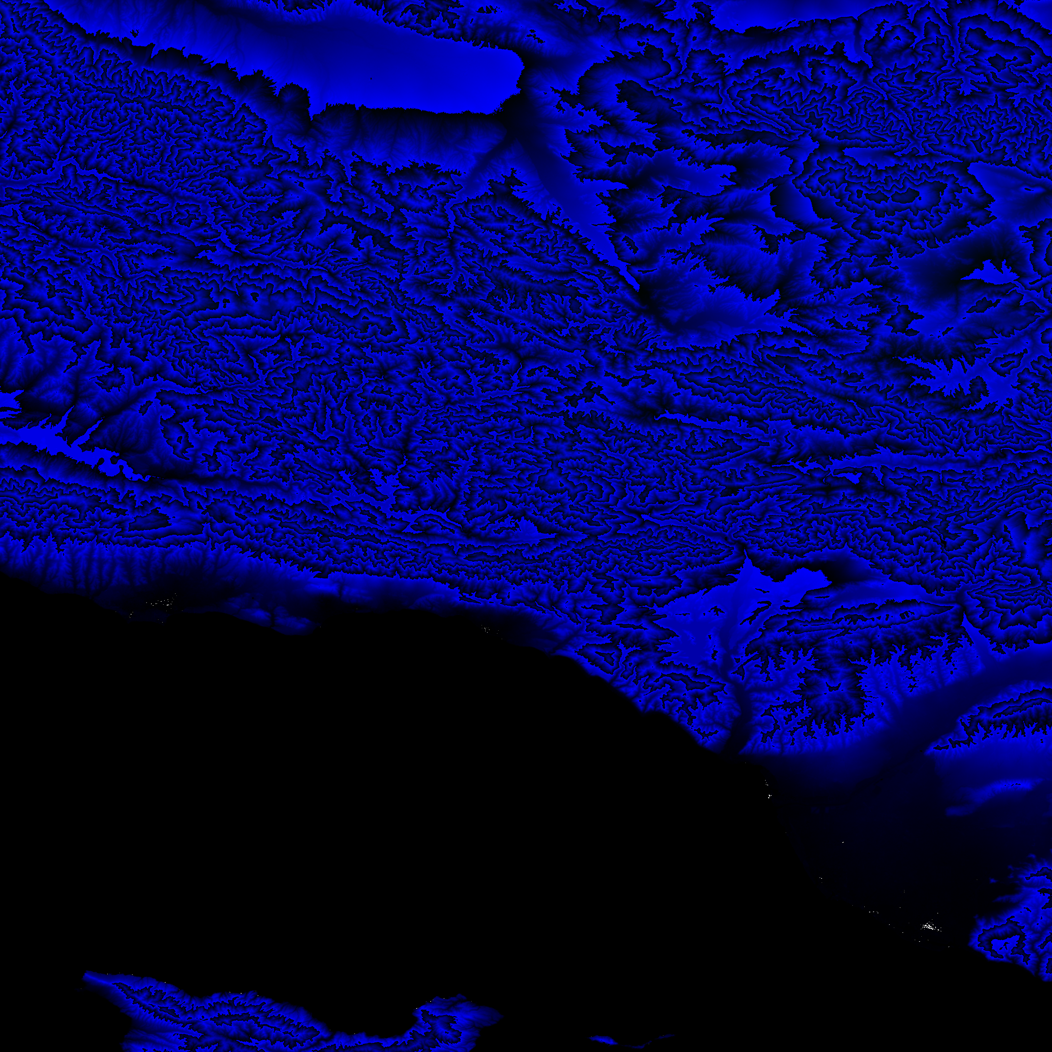
Shuttle Radar Topography Mission |
 |
U. S. Census Bureau Tiger Map Server |
Elevation File
35N120W_el.tga.bz2 (5127613 bytes)
35N120W_el.png (6647230 bytes)
35N120W_el-uncorrected.tga.bz2 (5127980 bytes)
35N120W_el-uncorrected.png (6647392 bytes)
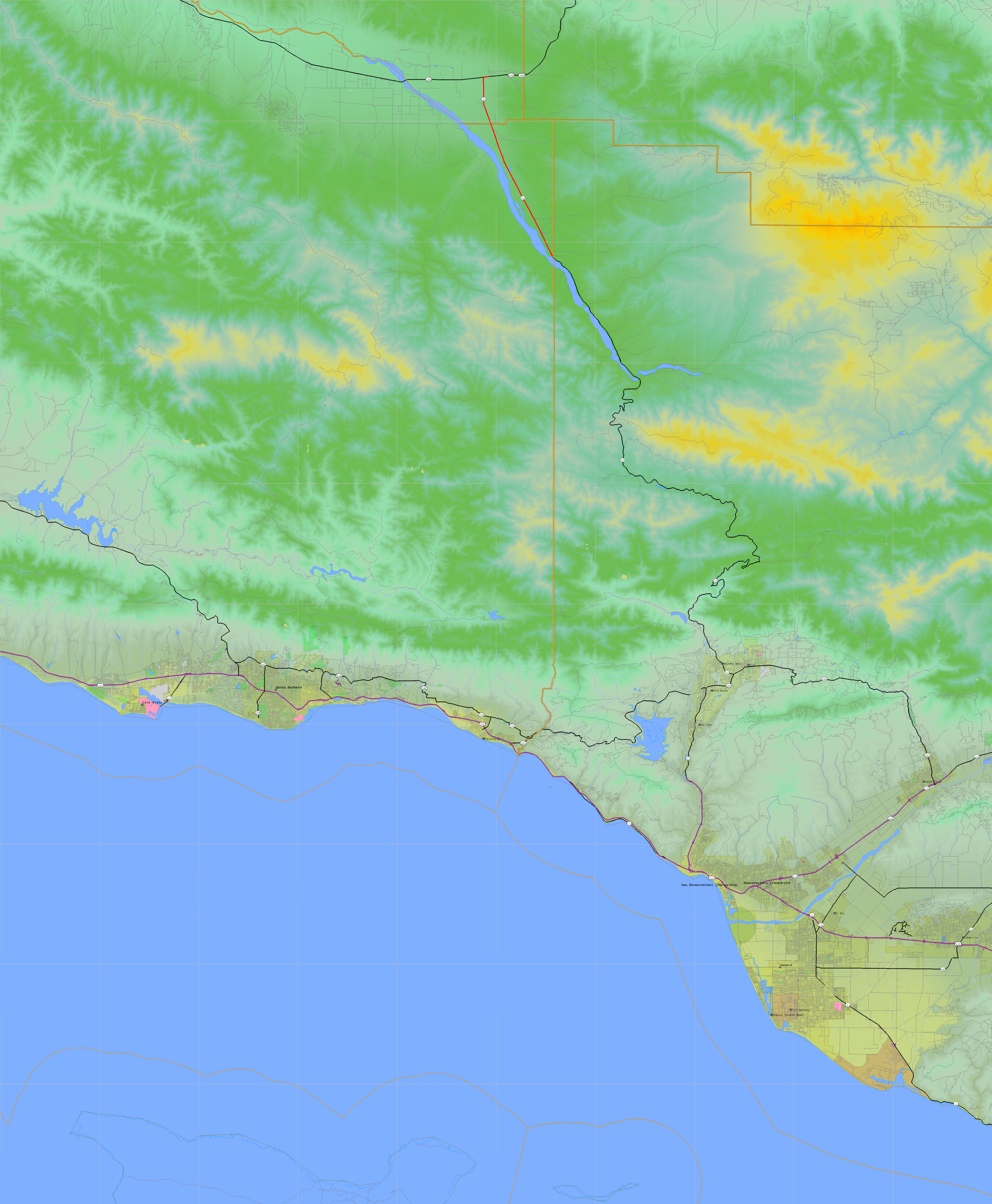
Texture File
35N120W_tx_c.tga.bz2 (6491728 bytes)
35N120W_tx_c.png (10018726 bytes)
 |
 |
 |
 |
 |
 |
 |
 |
 |