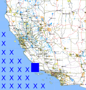
California and Nevada: 121°W/35°N to 120°W/34°N
 |
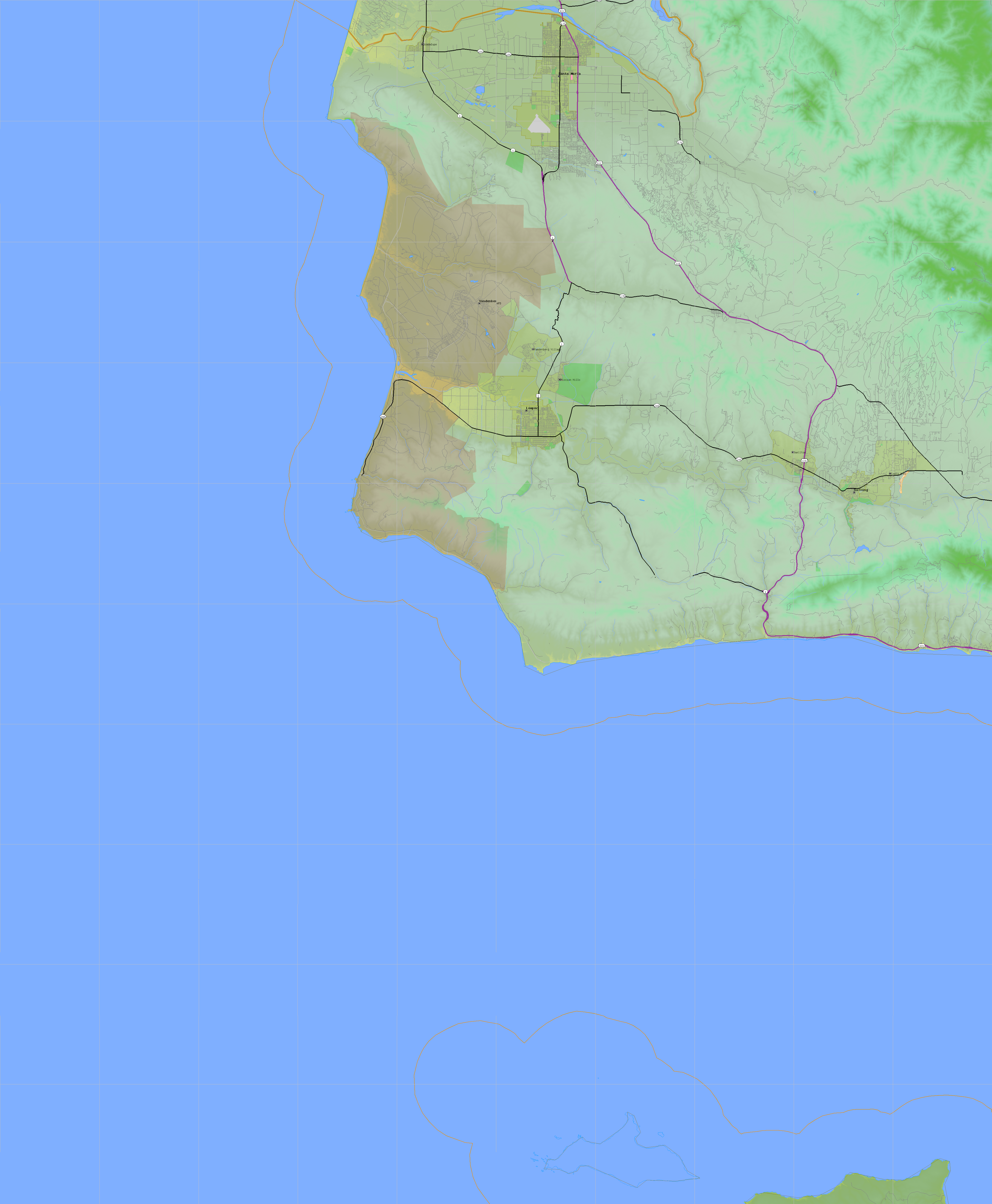
Shuttle Radar Topography Mission |
 |
U. S. Census Bureau Tiger Map Server |
Elevation File
35N121W_el.tga.bz2 (2129803 bytes)
35N121W_el.png (3004554 bytes)
35N121W_el-uncorrected.tga.bz2 (2130215 bytes)
35N121W_el-uncorrected.png (3004628 bytes)
Texture File
35N121W_tx_c.tga.bz2 (2868125 bytes)
35N121W_tx_c.png (4563307 bytes)
 |
 |
 |
 |
 |
 |
 |
 |
 |