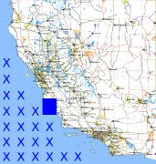
California and Nevada: 122°W/36°N to 121°W/35°N
 |
Shuttle Radar Topography Mission |
 |
U. S. Census Bureau Tiger Map Server |
Elevation File
36N122W_el.tga.bz2 (1079029 bytes)
36N122W_el.png (1585681 bytes)
36N122W_el-uncorrected.tga.bz2 (1078591 bytes)
36N122W_el-uncorrected.png (1585573 bytes)
Texture File
36N122W_tx_c.tga.bz2 (1455357 bytes)
36N122W_tx_c.png (2439810 bytes)
 |
 |
 |
 |
 |
 |
 |
 |
 |