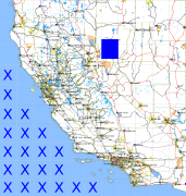
California and Nevada: 119°W/40°N to 118°W/39°N
 |
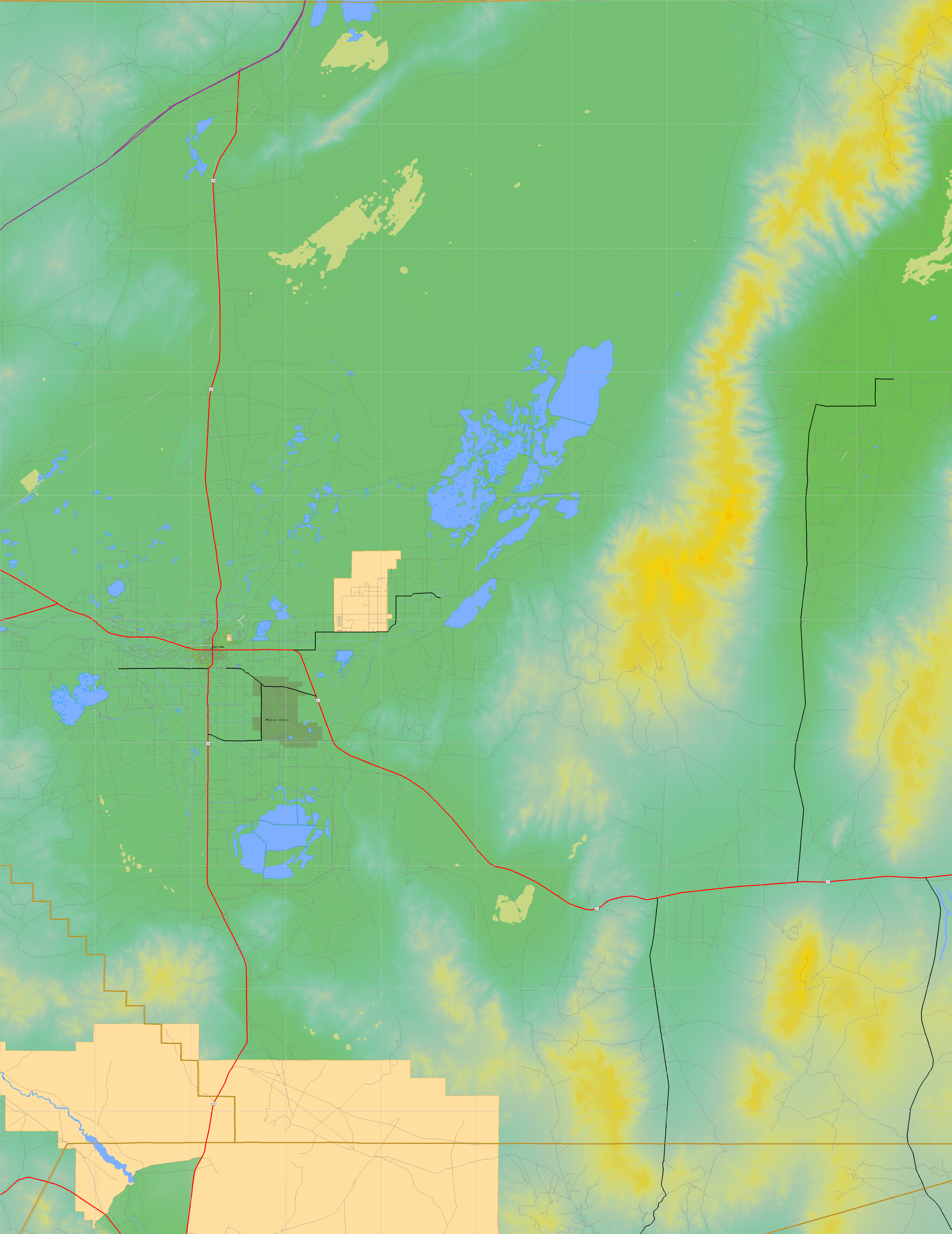
Shuttle Radar Topography Mission |
 |
U. S. Census Bureau Tiger Map Server |
Elevation File
40N119W_el.tga.bz2 (5348171 bytes)
40N119W_el.png (6973024 bytes)
40N119W_el-uncorrected.tga.bz2 (5330373 bytes)
40N119W_el-uncorrected.png (6967362 bytes)
Texture File
40N119W_tx_c.tga.bz2 (5420544 bytes)
40N119W_tx_c.png (8384908 bytes)
 |
 |
 |
 |
 |
 |
 |
 |
 |