California and Nevada: 119°W/38°N to 118°W/37°N
 |
Shuttle Radar Topography Mission |
 |
U. S. Census Bureau Tiger Map Server |
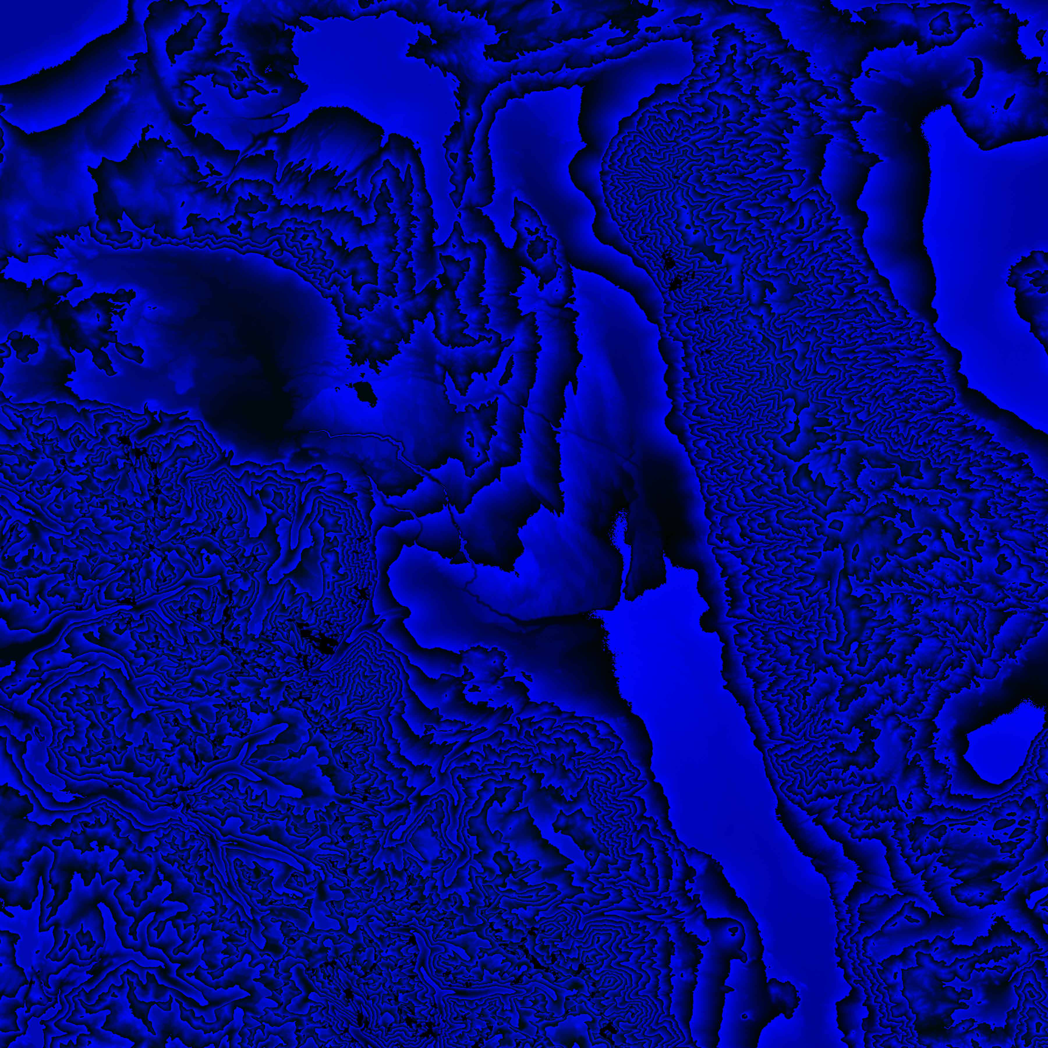
Elevation File
38N119W_el.tga.bz2 (7009635 bytes)
38N119W_el.png (8735214 bytes)
38N119W_el-uncorrected.tga.bz2 (6959156 bytes)
38N119W_el-uncorrected.png (8695074 bytes)
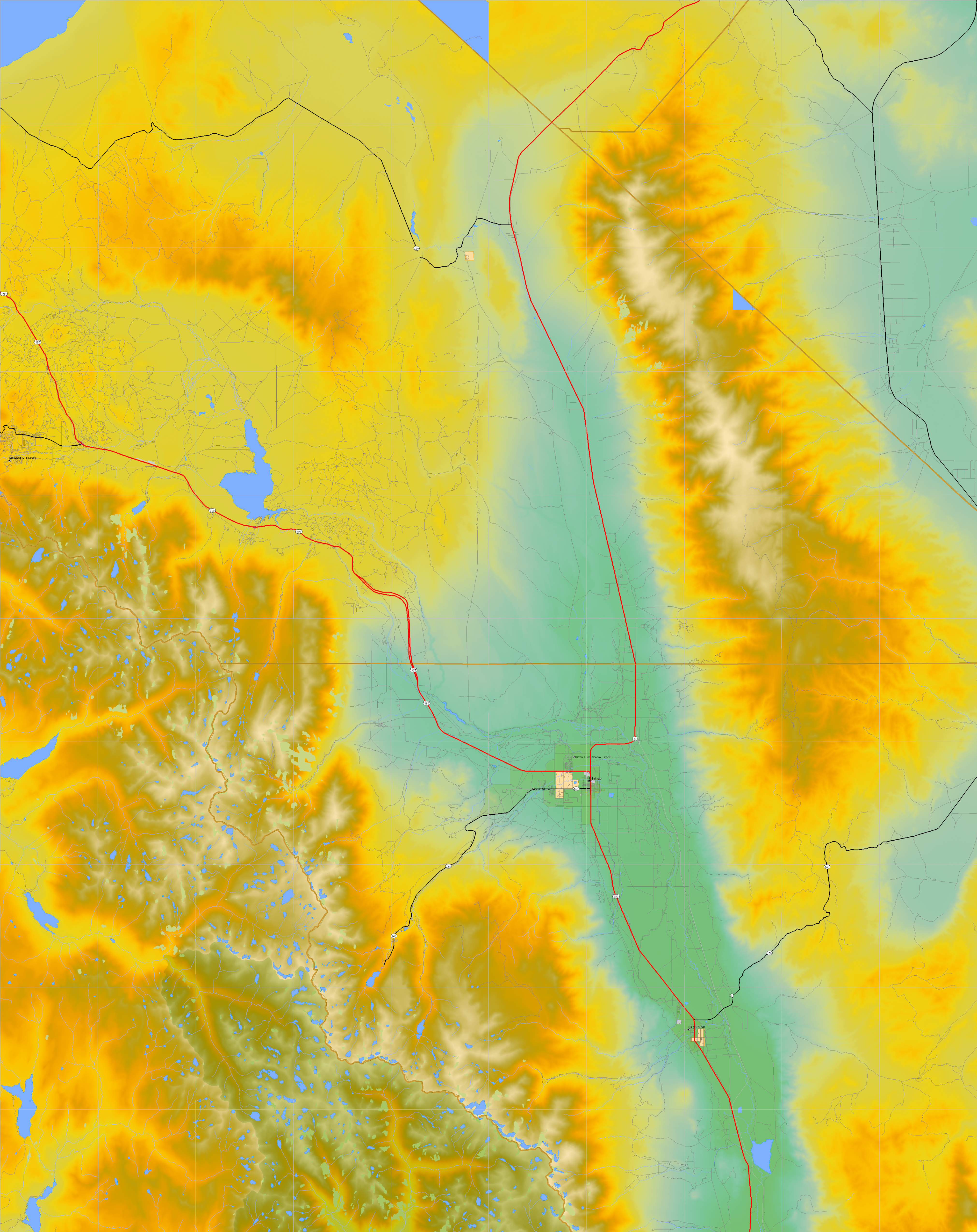
Texture File
38N119W_tx_c.tga.bz2 (8075222 bytes)
38N119W_tx_c.png (12133346 bytes)
 |
 |
 |
 |
 |
 |
 |
 |
 |