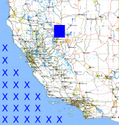
California and Nevada: 120°W/40°N to 119°W/39°N
 |
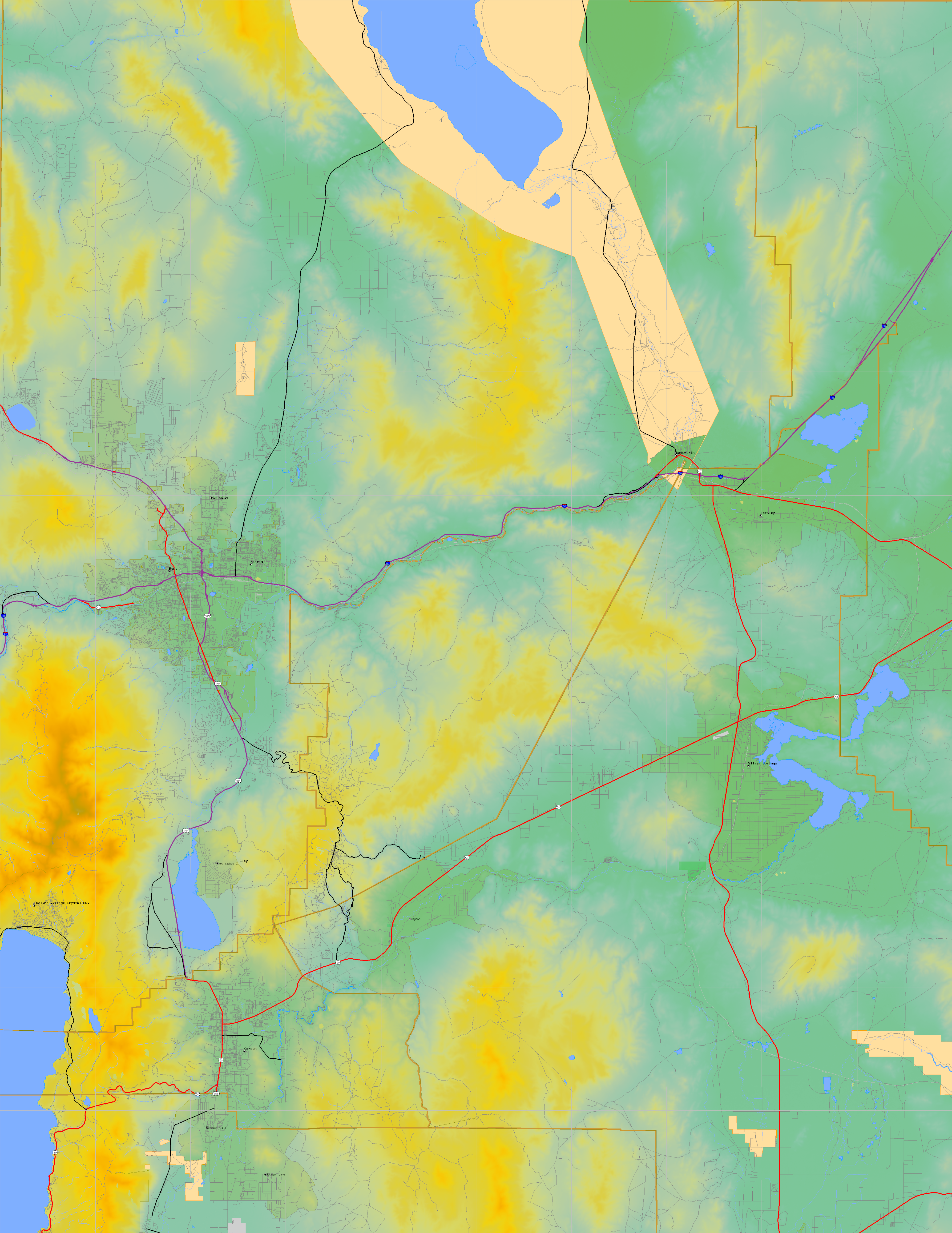
Shuttle Radar Topography Mission |
 |
U. S. Census Bureau Tiger Map Server |
Elevation File
40N120W_el.tga.bz2 (5852561 bytes)
40N120W_el.png (7583565 bytes)
40N120W_el-uncorrected.tga.bz2 (5847862 bytes)
40N120W_el-uncorrected.png (7581848 bytes)
Texture File
40N120W_tx_c.tga.bz2 (7438039 bytes)
40N120W_tx_c.png (11179431 bytes)
 |
 |
 |
 |
 |
 |
 |
 |
 |