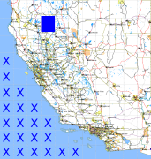
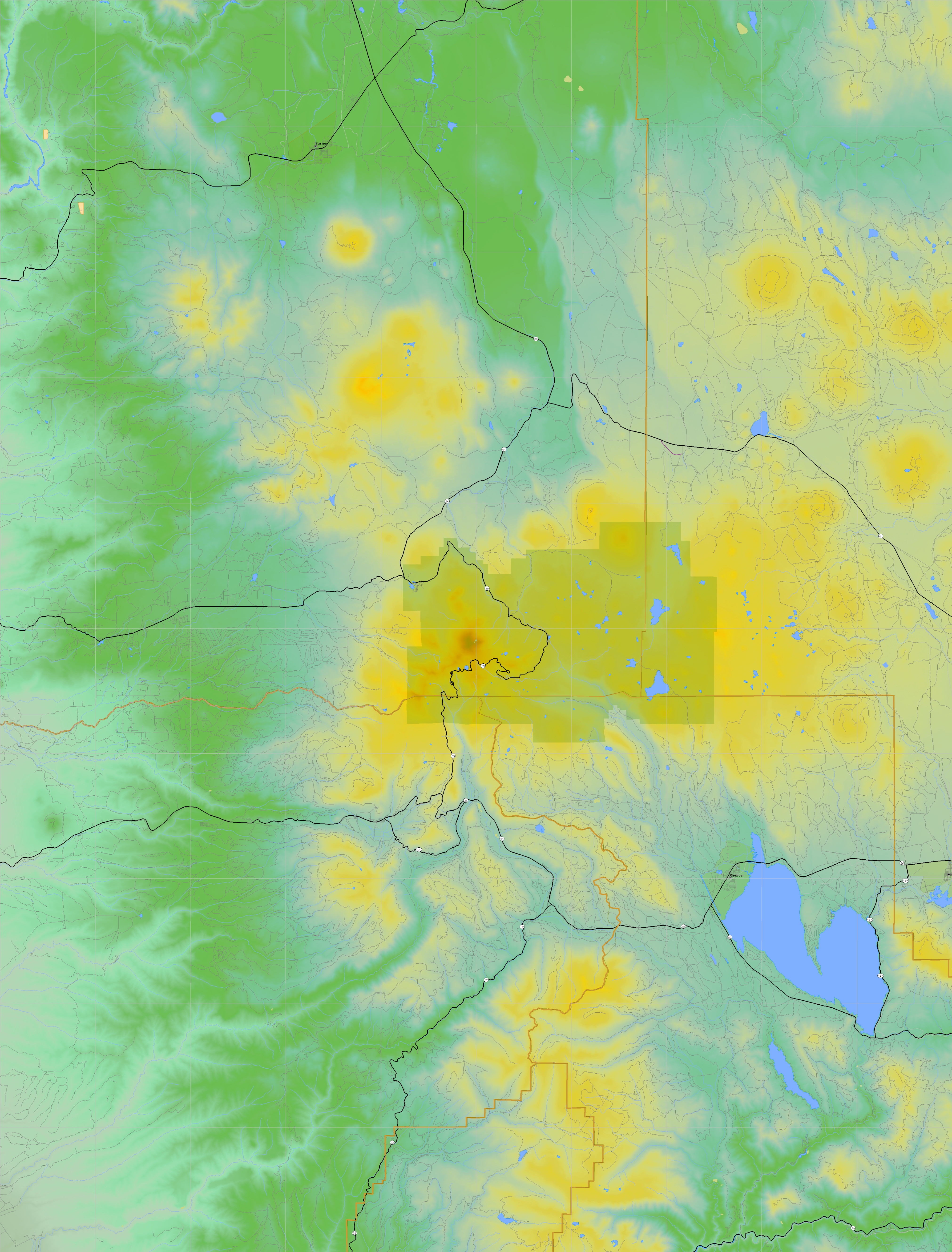
California and Nevada: 122°W/41°N to 121°W/40°N
 |
Shuttle Radar Topography Mission |
 |
U. S. Census Bureau Tiger Map Server |
Elevation File
41N122W_el.tga.bz2 (5855194 bytes)
41N122W_el.png (7248124 bytes)
41N122W_el-uncorrected.tga.bz2 (5855914 bytes)
41N122W_el-uncorrected.png (7248895 bytes)
Texture File
41N122W_tx_c.tga.bz2 (8835986 bytes)
41N122W_tx_c.png (12640619 bytes)
 |
 |
 |
 |
 |
 |
 |
 |
 |