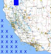
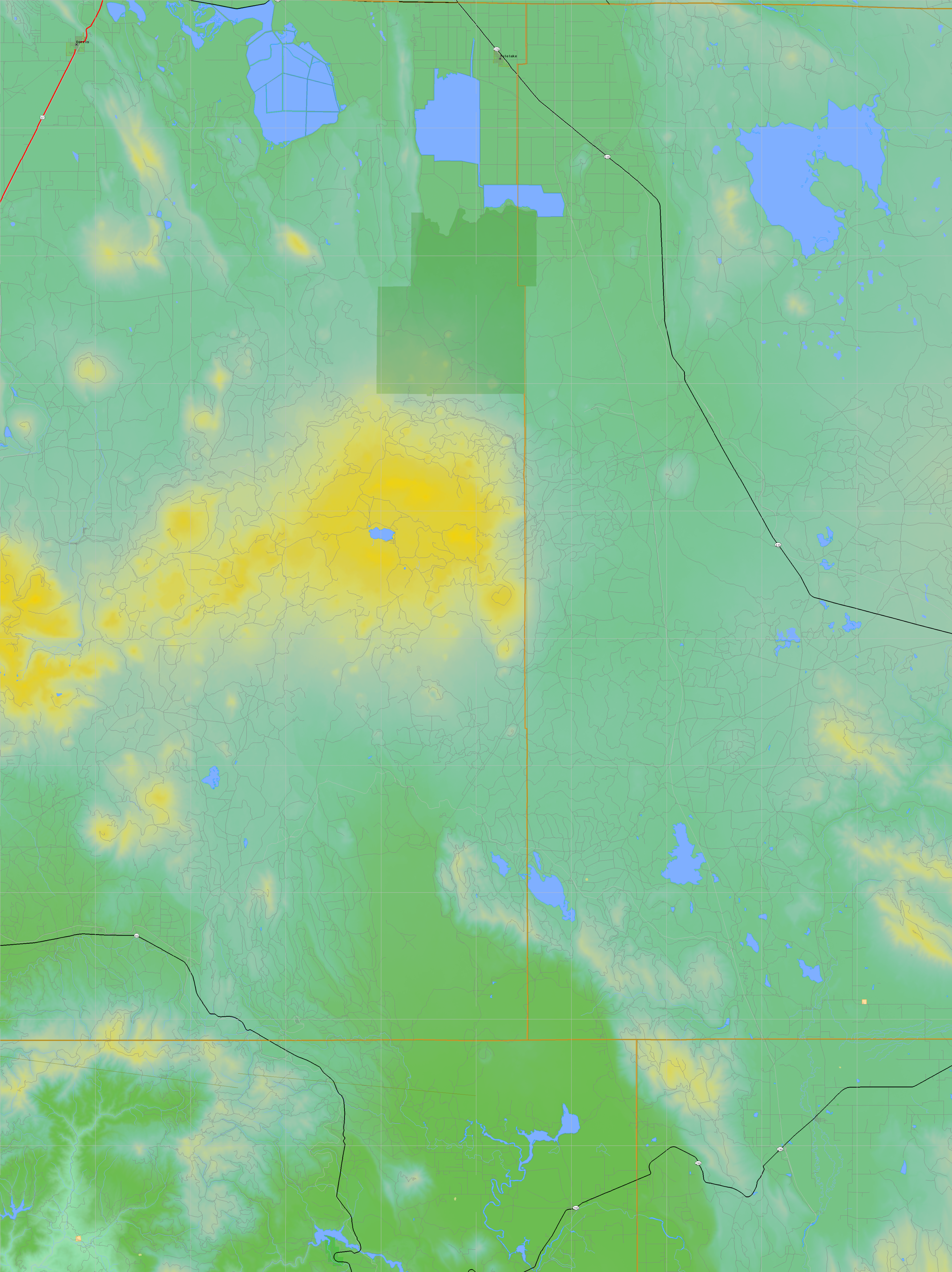
California and Nevada: 122°W/42°N to 121°W/41°N
 |
Shuttle Radar Topography Mission |
 |
U. S. Census Bureau Tiger Map Server |
Elevation File
42N122W_el.tga.bz2 (4540107 bytes)
42N122W_el.png (5927698 bytes)
42N122W_el-uncorrected.tga.bz2 (4539126 bytes)
42N122W_el-uncorrected.png (5927823 bytes)
Texture File
42N122W_tx_c.tga.bz2 (6196422 bytes)
42N122W_tx_c.png (9223312 bytes)
 |
 |
 |
 |
 |
 |
 |
 |
 |