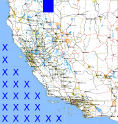
California and Nevada: 121°W/42°N to 120°W/41°N
 |
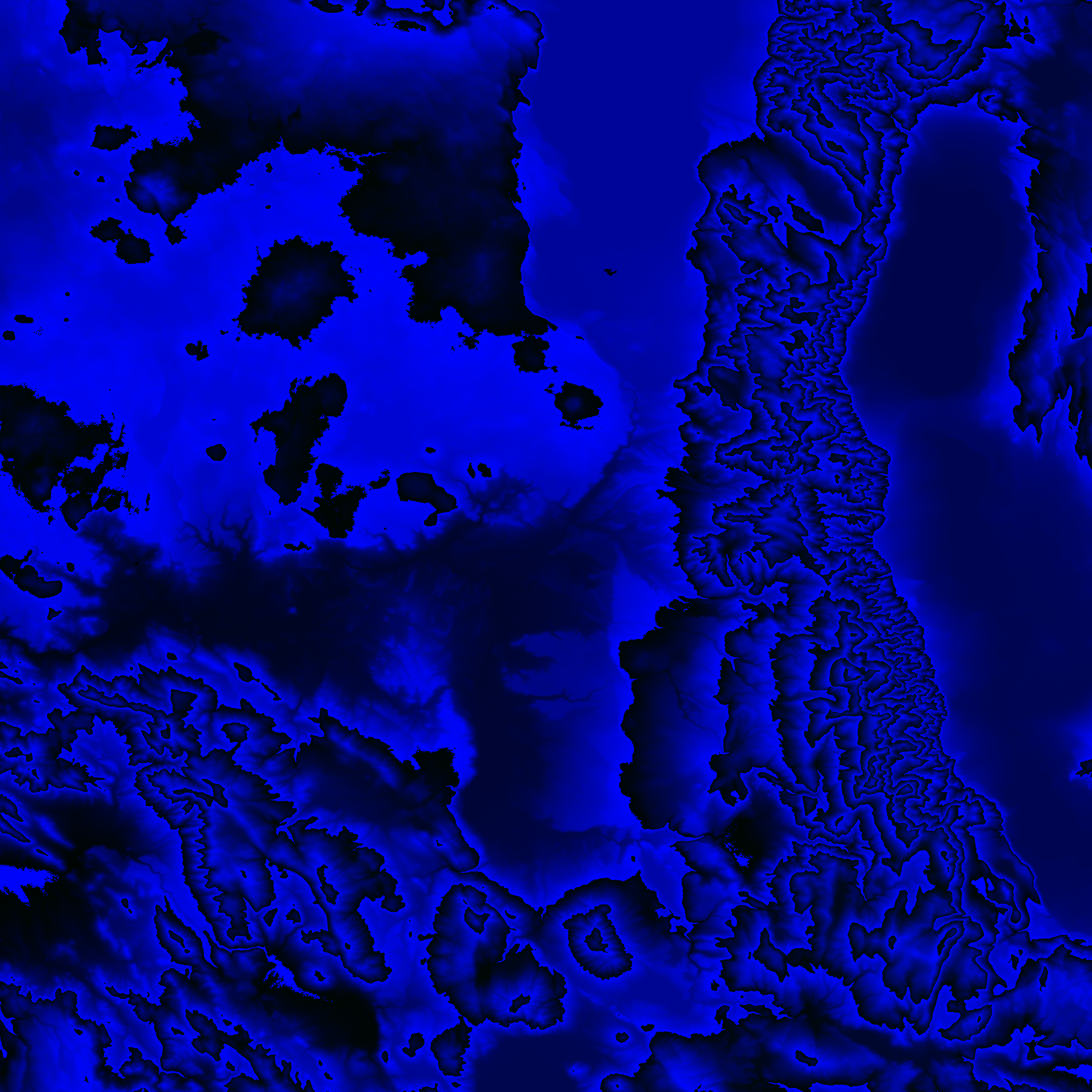
Shuttle Radar Topography Mission |
 |
U. S. Census Bureau Tiger Map Server |
Elevation File
42N121W_el.tga.bz2 (4496315 bytes)
42N121W_el.png (5846137 bytes)
42N121W_el-uncorrected.tga.bz2 (4499058 bytes)
42N121W_el-uncorrected.png (5846354 bytes)
Texture File
42N121W_tx_c.tga.bz2 (5774329 bytes)
42N121W_tx_c.png (8748670 bytes)
 |
 |
 |
 |
 |
 |
 |
 |
 |