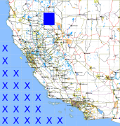
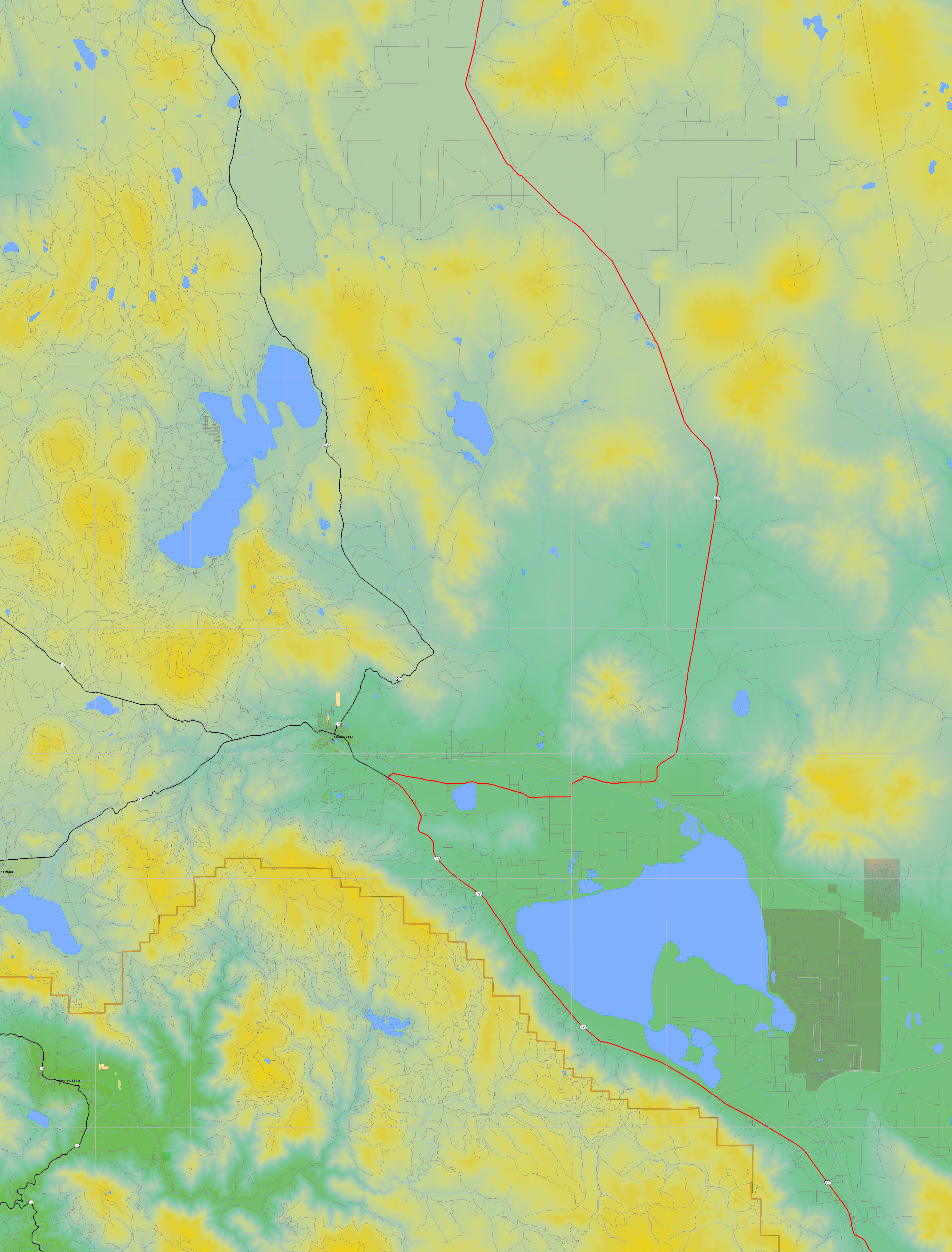
California and Nevada: 121°W/41°N to 120°W/40°N
 |
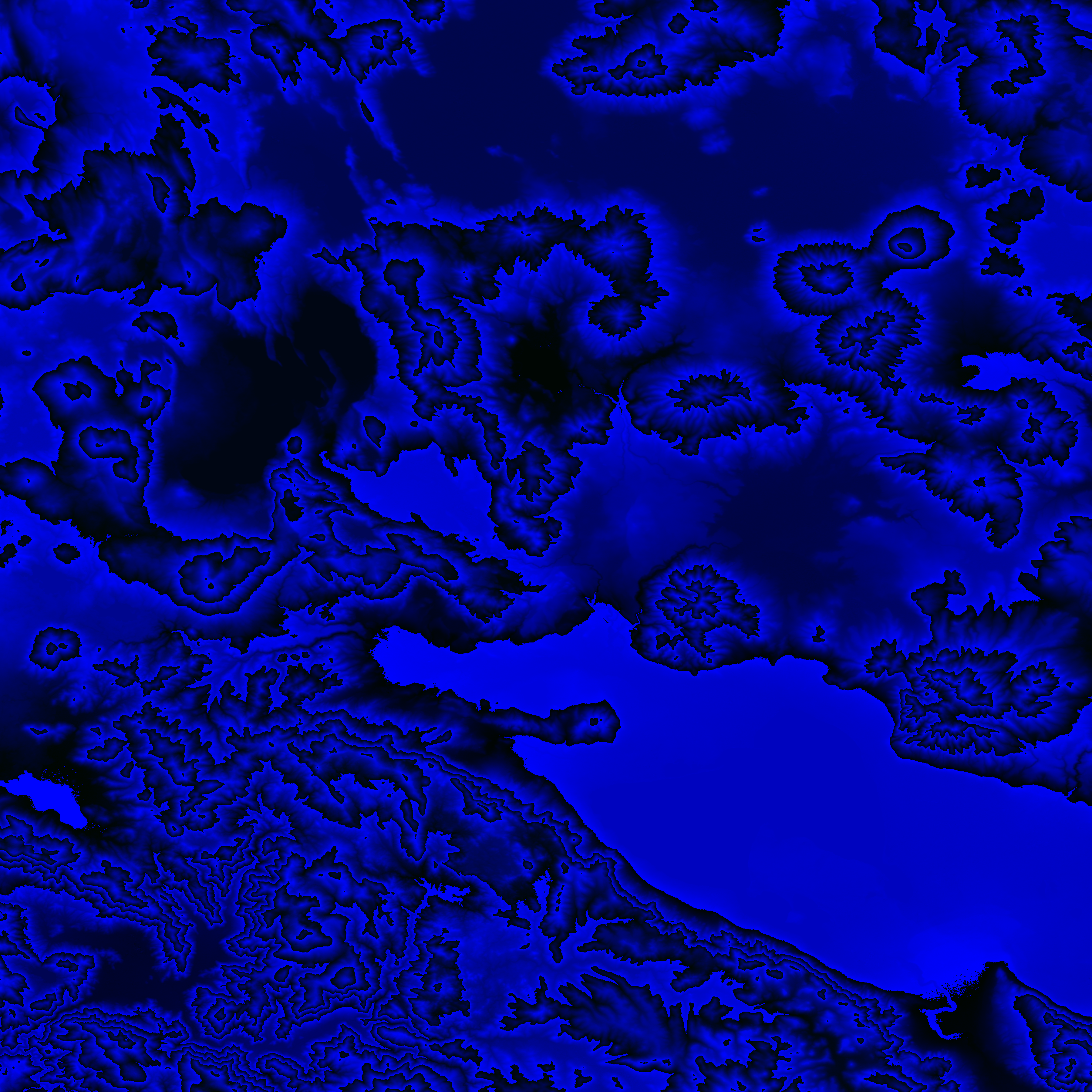
Shuttle Radar Topography Mission |
 |
U. S. Census Bureau Tiger Map Server |
Elevation File
41N121W_el.tga.bz2 (4921281 bytes)
41N121W_el.png (6445848 bytes)
41N121W_el-uncorrected.tga.bz2 (4921392 bytes)
41N121W_el-uncorrected.png (6446104 bytes)
Texture File
41N121W_tx_c.tga.bz2 (6879983 bytes)
41N121W_tx_c.png (10423369 bytes)
 |
 |
 |
 |
 |
 |
 |
 |
 |