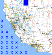
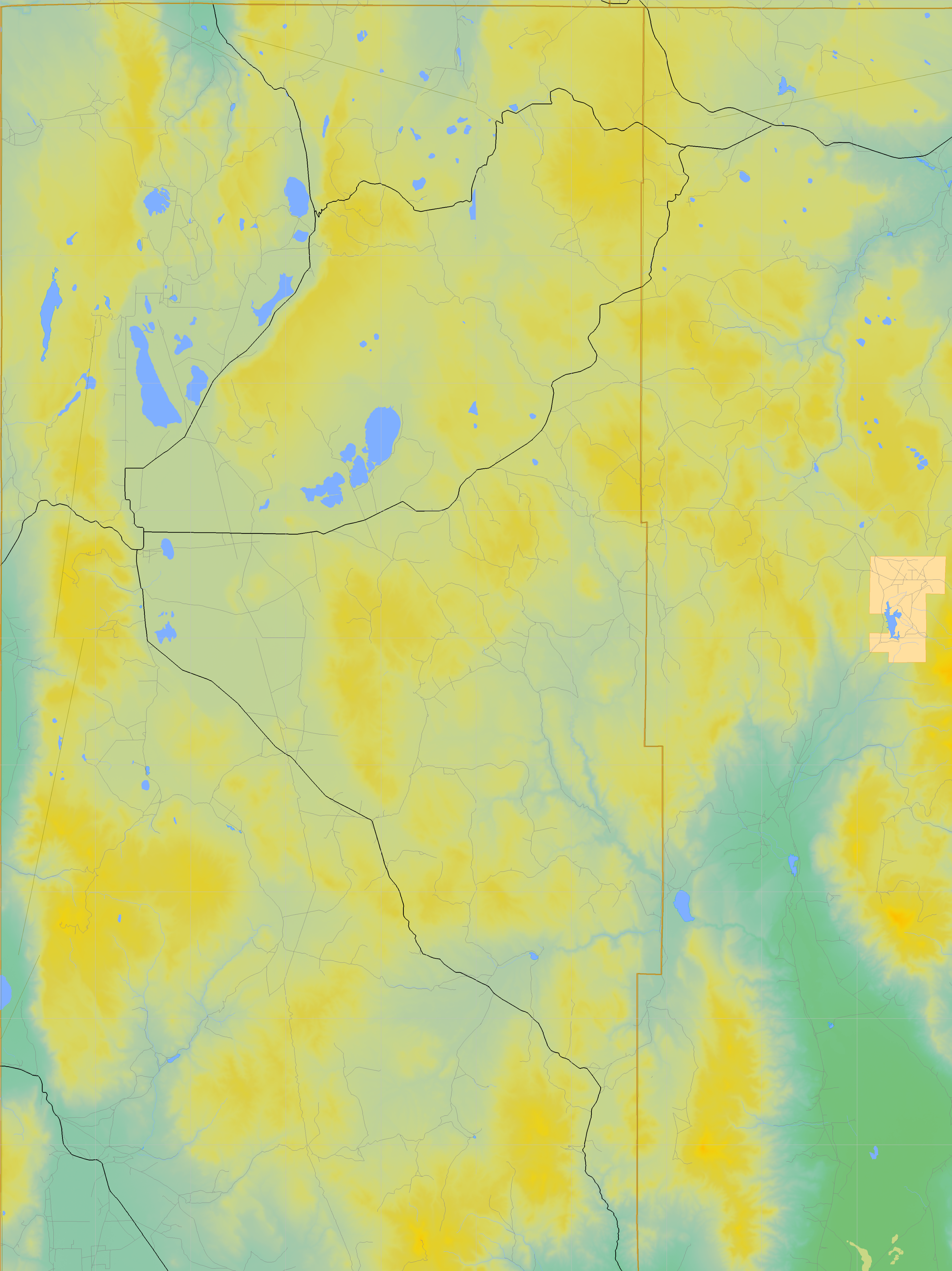
California and Nevada: 120°W/42°N to 119°W/41°N
 |
Shuttle Radar Topography Mission |
 |
U. S. Census Bureau Tiger Map Server |
Elevation File
42N120W_el.tga.bz2 (4828700 bytes)
42N120W_el.png (6266711 bytes)
42N120W_el-uncorrected.tga.bz2 (4827363 bytes)
42N120W_el-uncorrected.png (6267097 bytes)
Texture File
42N120W_tx_c.tga.bz2 (5315543 bytes)
42N120W_tx_c.png (8242497 bytes)
 |
 |
 |
 |
 |
 |
 |
 |
 |