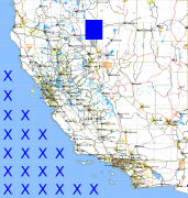
California and Nevada: 120°W/41°N to 119°W/40°N
 |
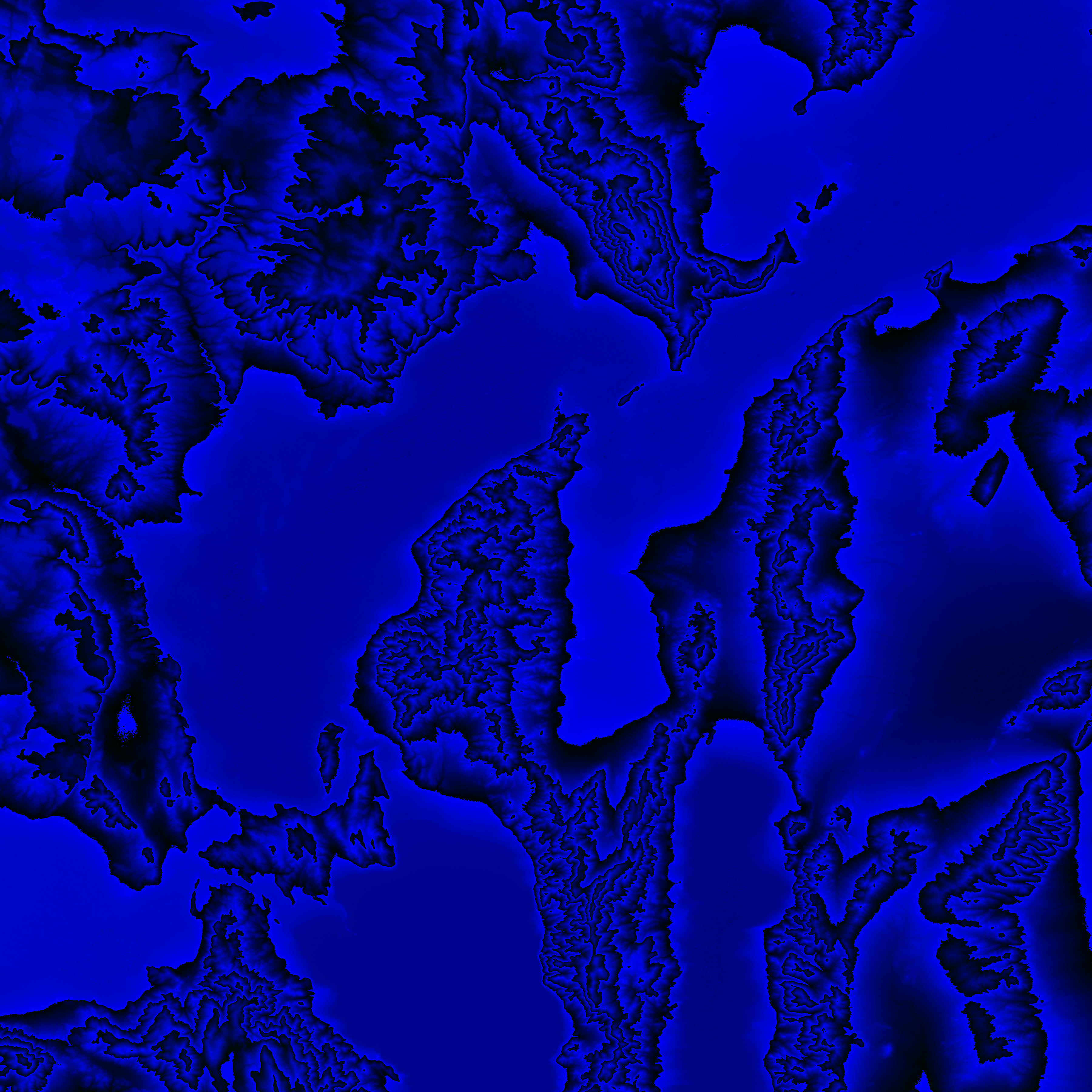
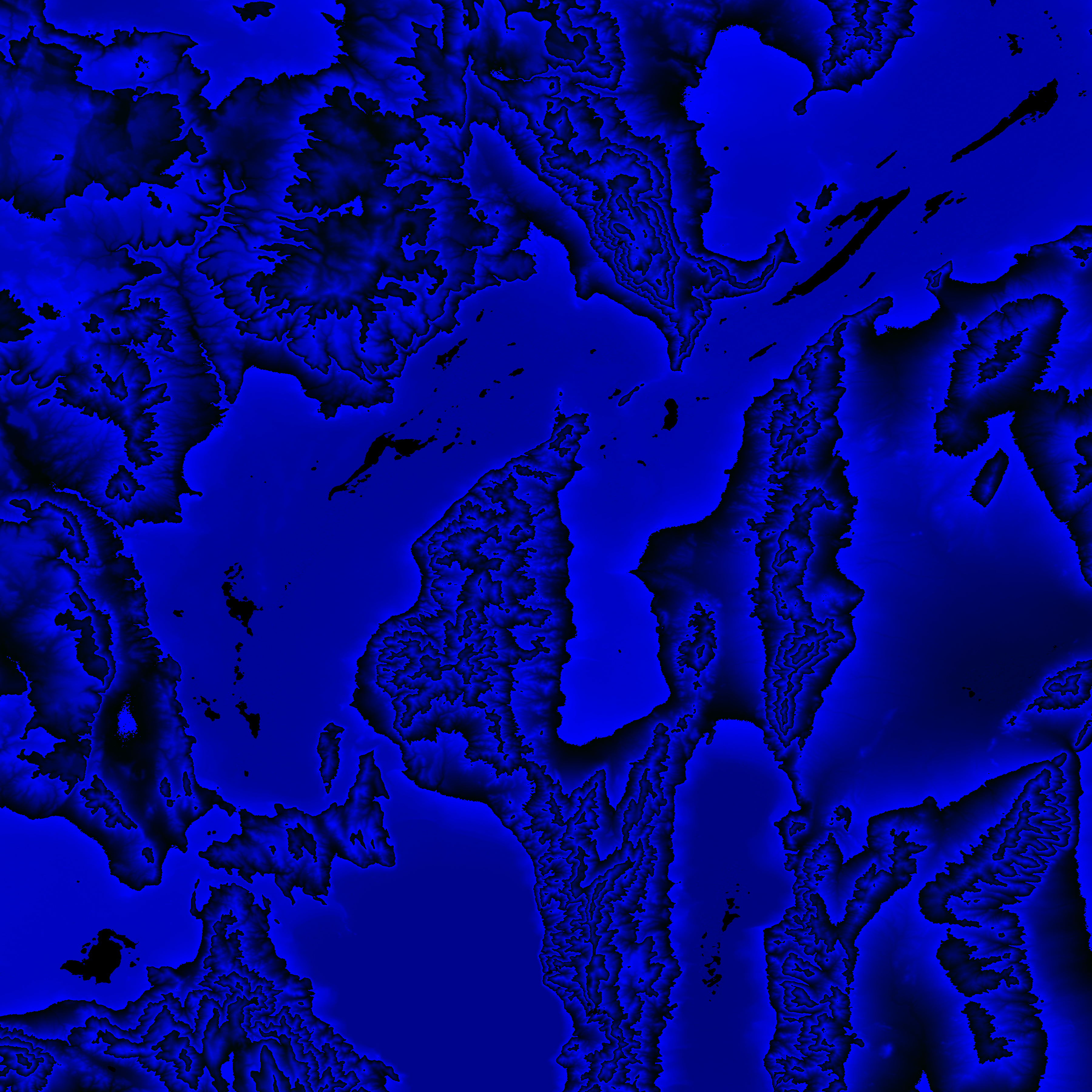
Shuttle Radar Topography Mission |
 |
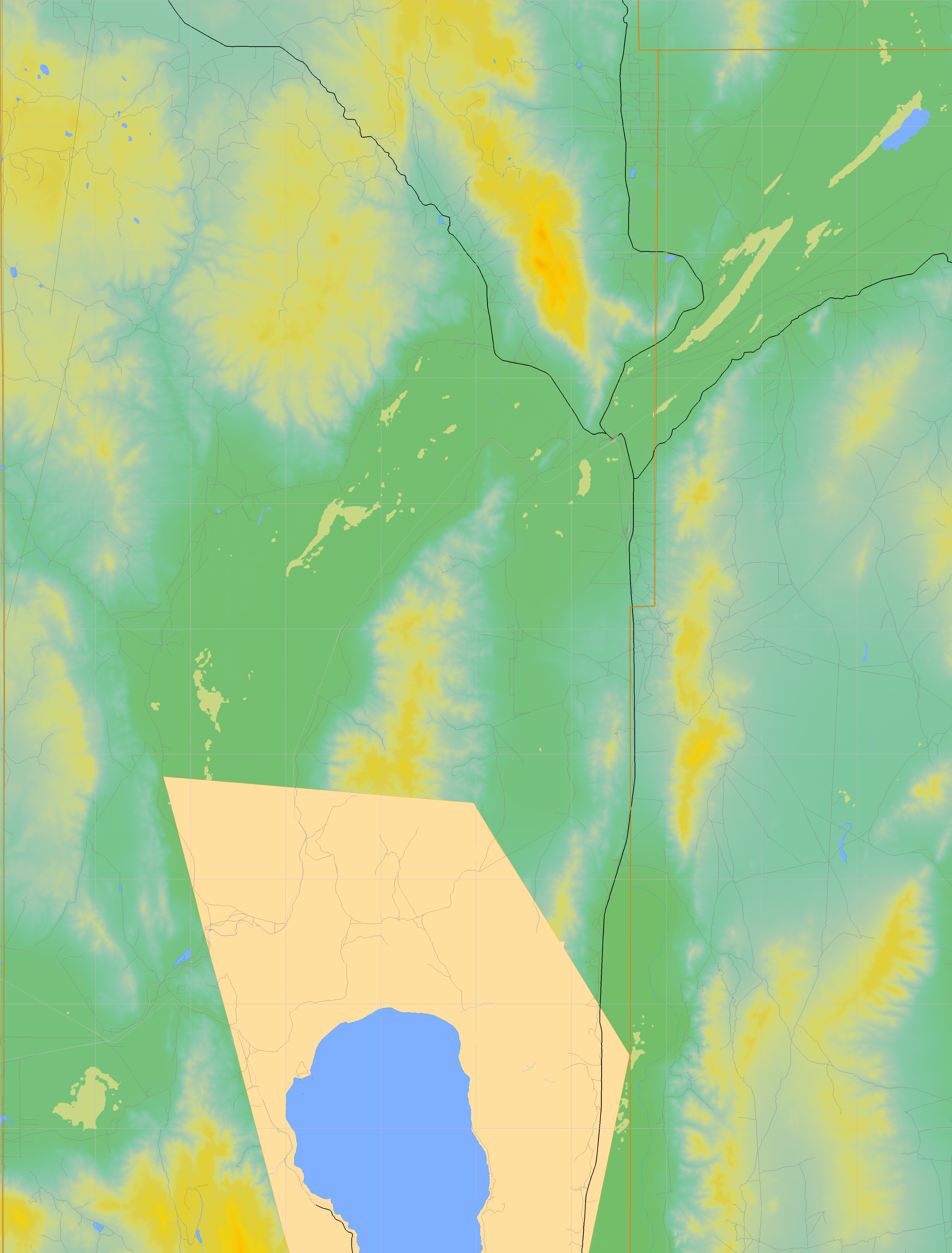
U. S. Census Bureau Tiger Map Server |
Elevation File
41N120W_el.tga.bz2 (5208323 bytes)
41N120W_el.png (6806435 bytes)
41N120W_el-uncorrected.tga.bz2 (5184111 bytes)
41N120W_el-uncorrected.png (6807208 bytes)
Texture File
41N120W_tx_c.tga.bz2 (4938086 bytes)
41N120W_tx_c.png (7914152 bytes)
 |
 |
 |
 |
 |
 |
 |
 |
 |