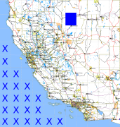
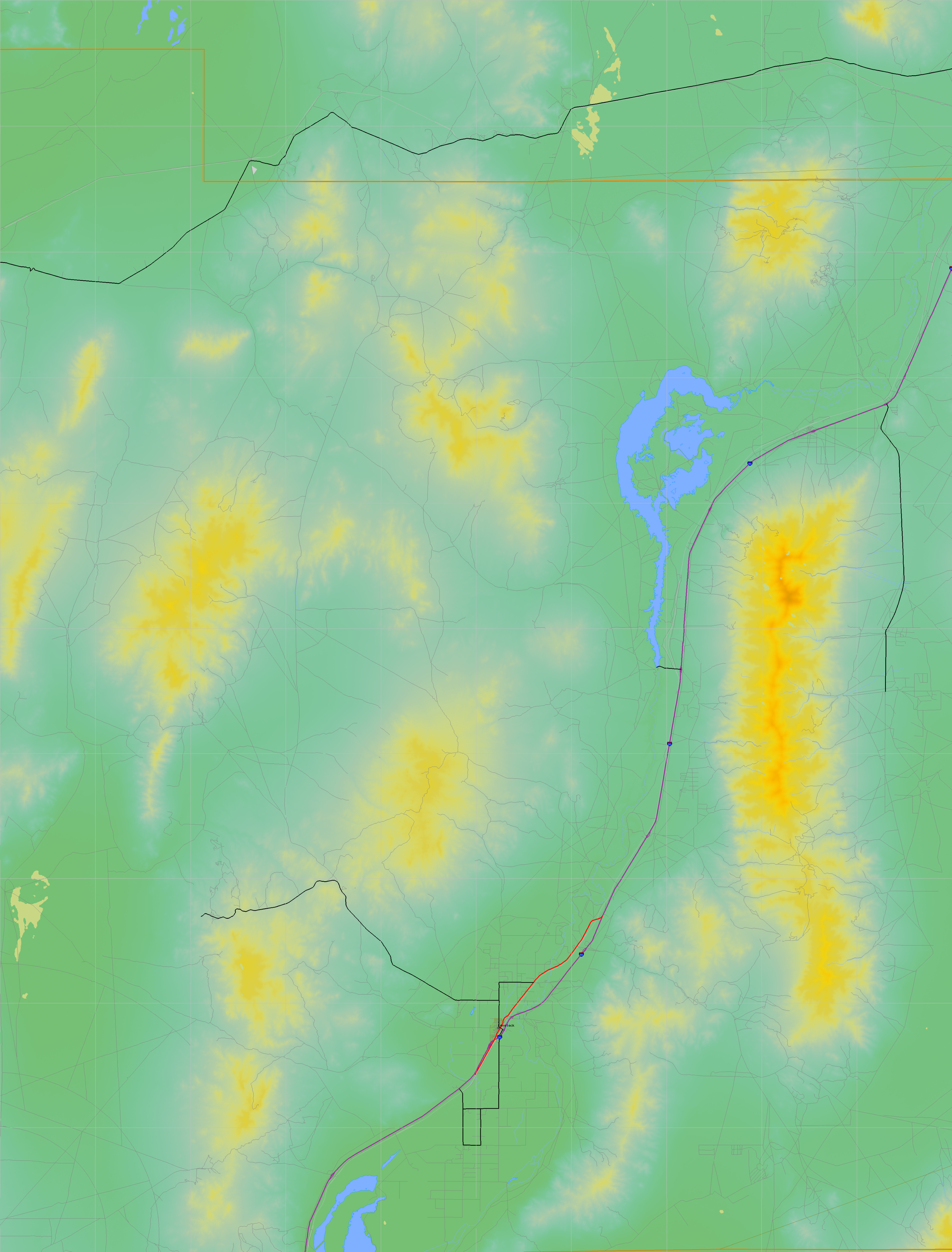
California and Nevada: 119°W/41°N to 118°W/40°N
 |
Shuttle Radar Topography Mission |
 |
U. S. Census Bureau Tiger Map Server |
Elevation File
41N119W_el.tga.bz2 (5044589 bytes)
41N119W_el.png (6636708 bytes)
41N119W_el-uncorrected.tga.bz2 (5043772 bytes)
41N119W_el-uncorrected.png (6637581 bytes)
Texture File
41N119W_tx_c.tga.bz2 (5500469 bytes)
41N119W_tx_c.png (8518056 bytes)
 |
 |
 |
 |
 |
 |
 |
 |
 |