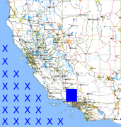
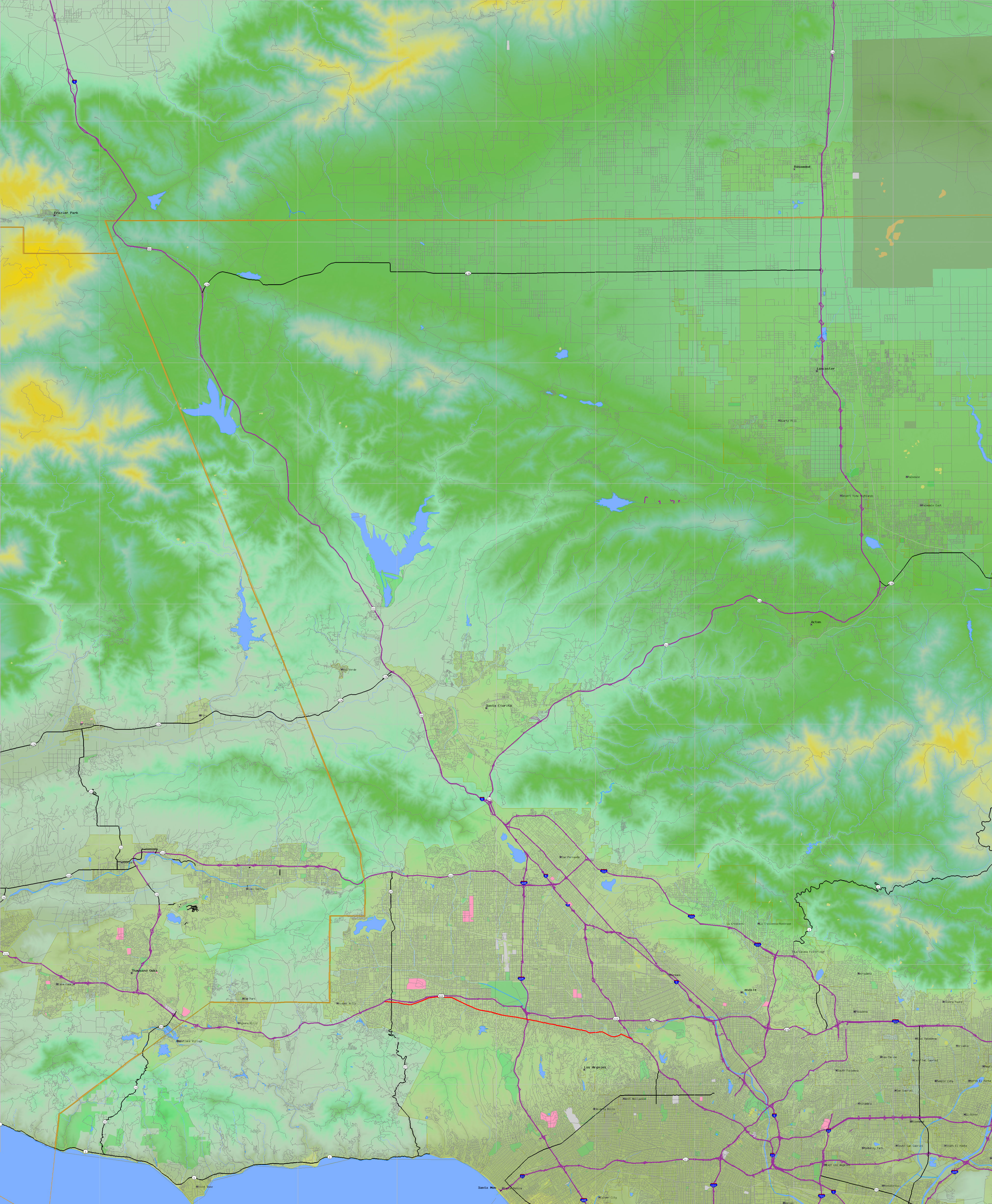
California and Nevada: 119°W/35°N to 118°W/34°N
 |
Shuttle Radar Topography Mission |
 |
U. S. Census Bureau Tiger Map Server |
Elevation File
35N119W_el.tga.bz2 (6328114 bytes)
35N119W_el.png (8170159 bytes)
35N119W_el-uncorrected.tga.bz2 (6328710 bytes)
35N119W_el-uncorrected.png (8172144 bytes)
Texture File
35N119W_tx_c.tga.bz2 (9812936 bytes)
35N119W_tx_c.png (14679401 bytes)
 |
 |
 |
 |
 |
 |
 |
 |
 |