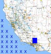
California and Nevada: 118°W/35°N to 117°W/34°N
 |
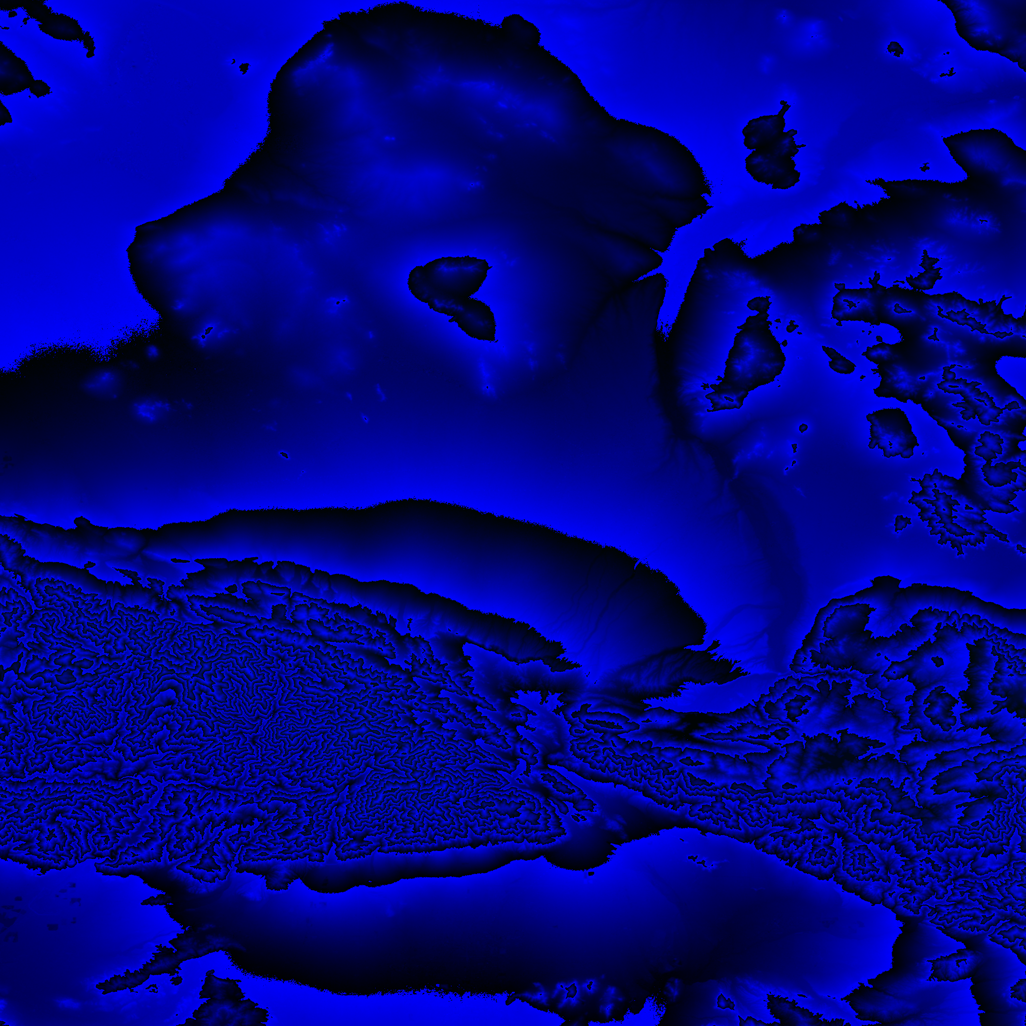
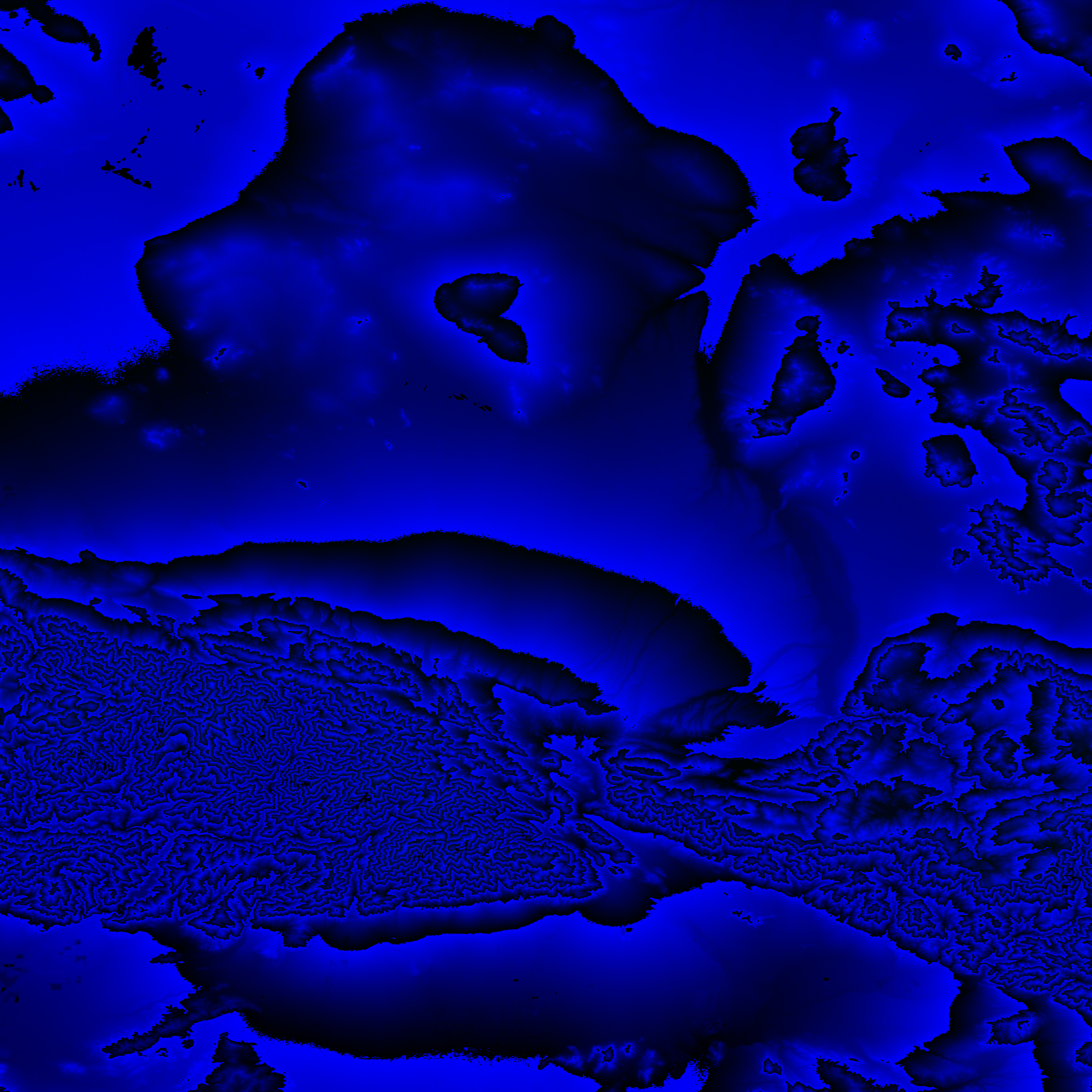
Shuttle Radar Topography Mission |
 |
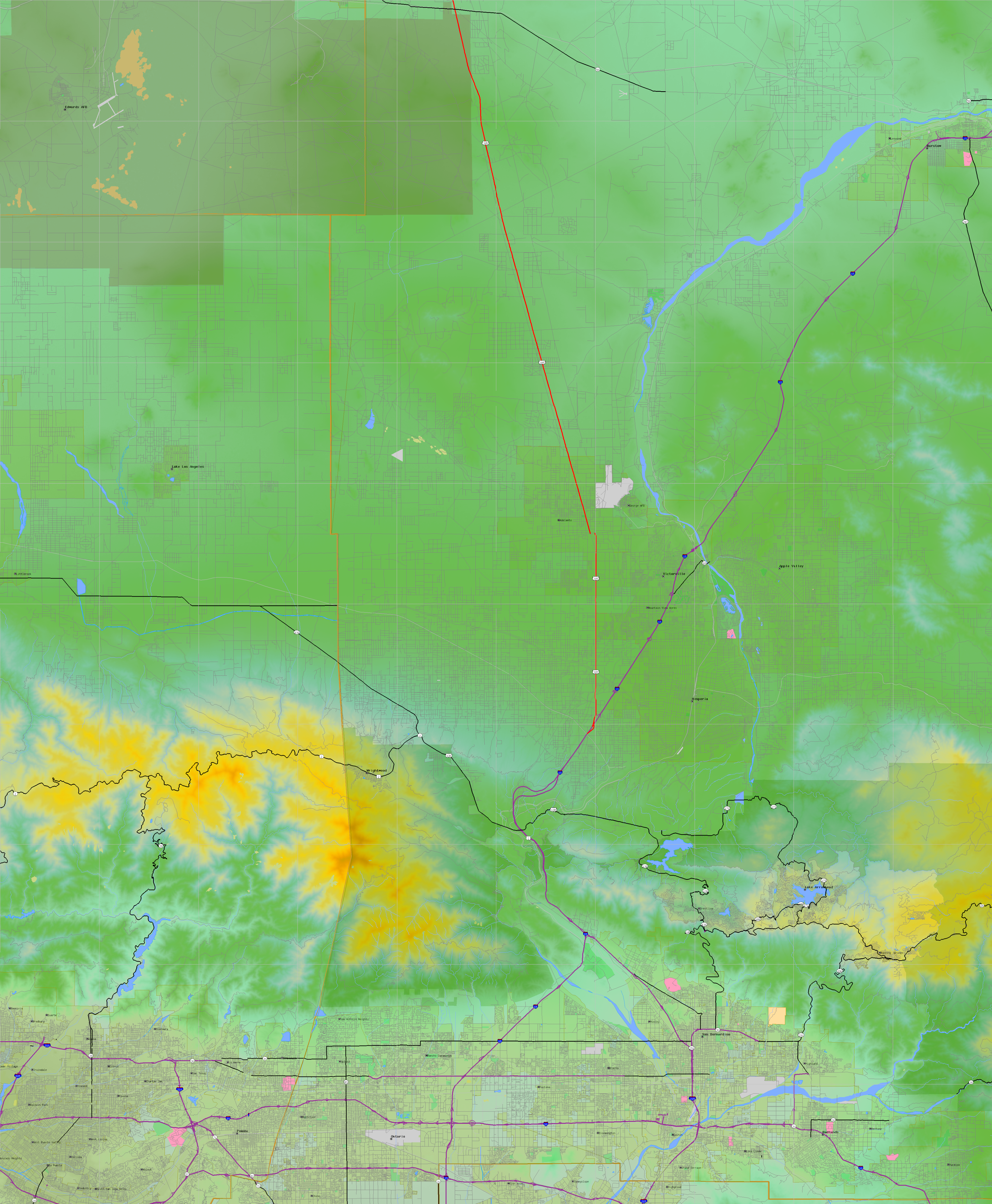
U. S. Census Bureau Tiger Map Server |
Elevation File
35N118W_el.tga.bz2 (5658125 bytes)
35N118W_el.png (7194520 bytes)
35N118W_el-uncorrected.tga.bz2 (5649410 bytes)
35N118W_el-uncorrected.png (7195443 bytes)
Texture File
35N118W_tx_c.tga.bz2 (8471836 bytes)
35N118W_tx_c.png (12170624 bytes)
 |
 |
 |
 |
 |
 |
 |
 |
 |