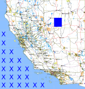
California and Nevada: 118°W/40°N to 117°W/39°N
 |
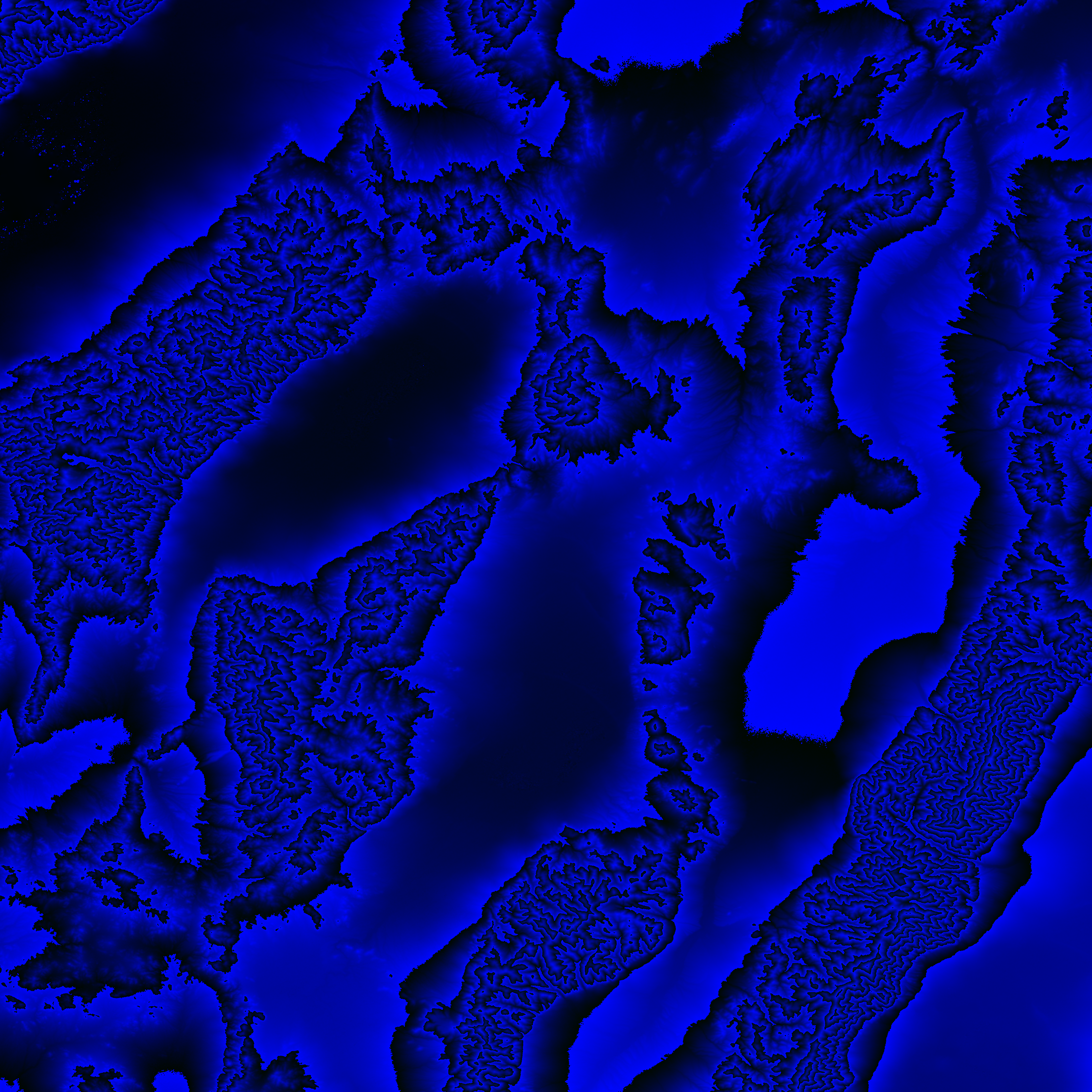
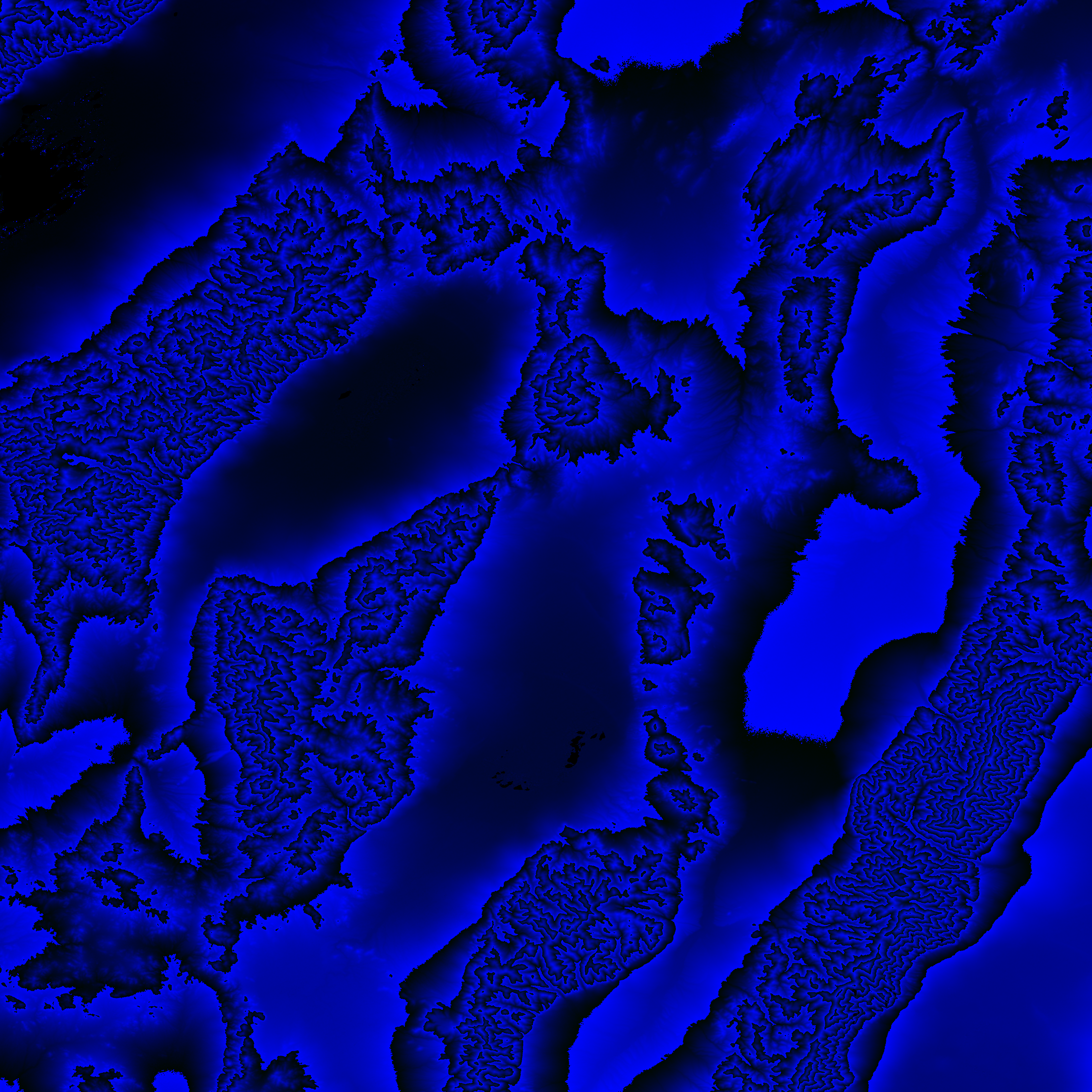
Shuttle Radar Topography Mission |
 |
U. S. Census Bureau Tiger Map Server |
Elevation File
40N118W_el.tga.bz2 (5640634 bytes)
40N118W_el.png (7321246 bytes)
40N118W_el-uncorrected.tga.bz2 (5627841 bytes)
40N118W_el-uncorrected.png (7315957 bytes)
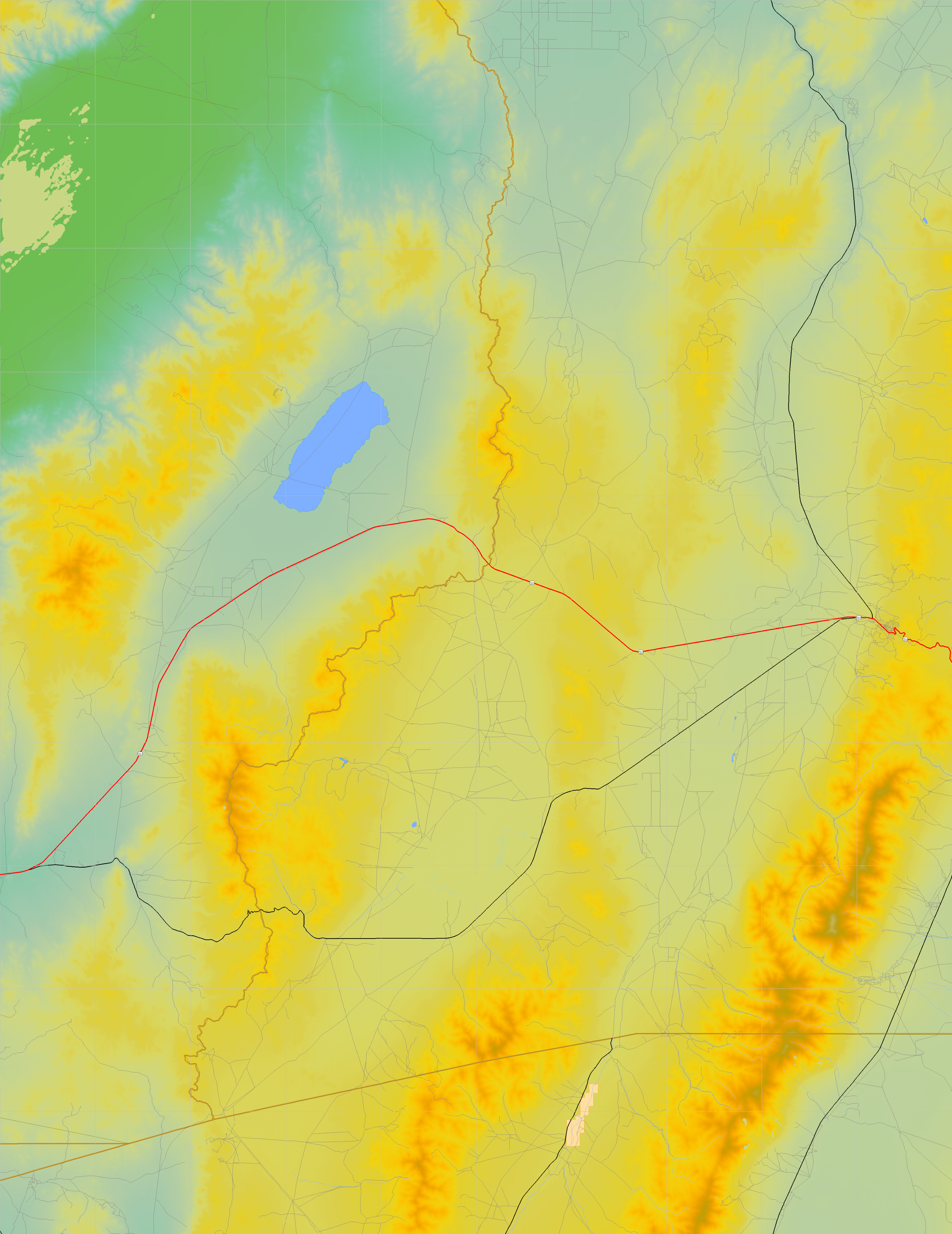
Texture File
40N118W_tx_c.tga.bz2 (5849785 bytes)
40N118W_tx_c.png (9153336 bytes)
 |
 |
 |
 |
 |
 |
 |
 |
 |