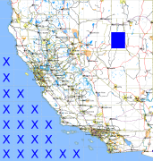
California and Nevada: 117°W/40°N to 116°W/39°N
 |
Shuttle Radar Topography Mission |
 |
U. S. Census Bureau Tiger Map Server |
Elevation File
40N117W_el.tga.bz2 (5132894 bytes)
40N117W_el.png (6750861 bytes)
40N117W_el-uncorrected.tga.bz2 (5128932 bytes)
40N117W_el-uncorrected.png (6750861 bytes)
Texture File
40N117W_tx_c.tga.bz2 (4856969 bytes)
40N117W_tx_c.png (7616351 bytes)
 |
 |
 |
 |
 |
 |
 |
 |
 |