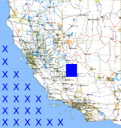
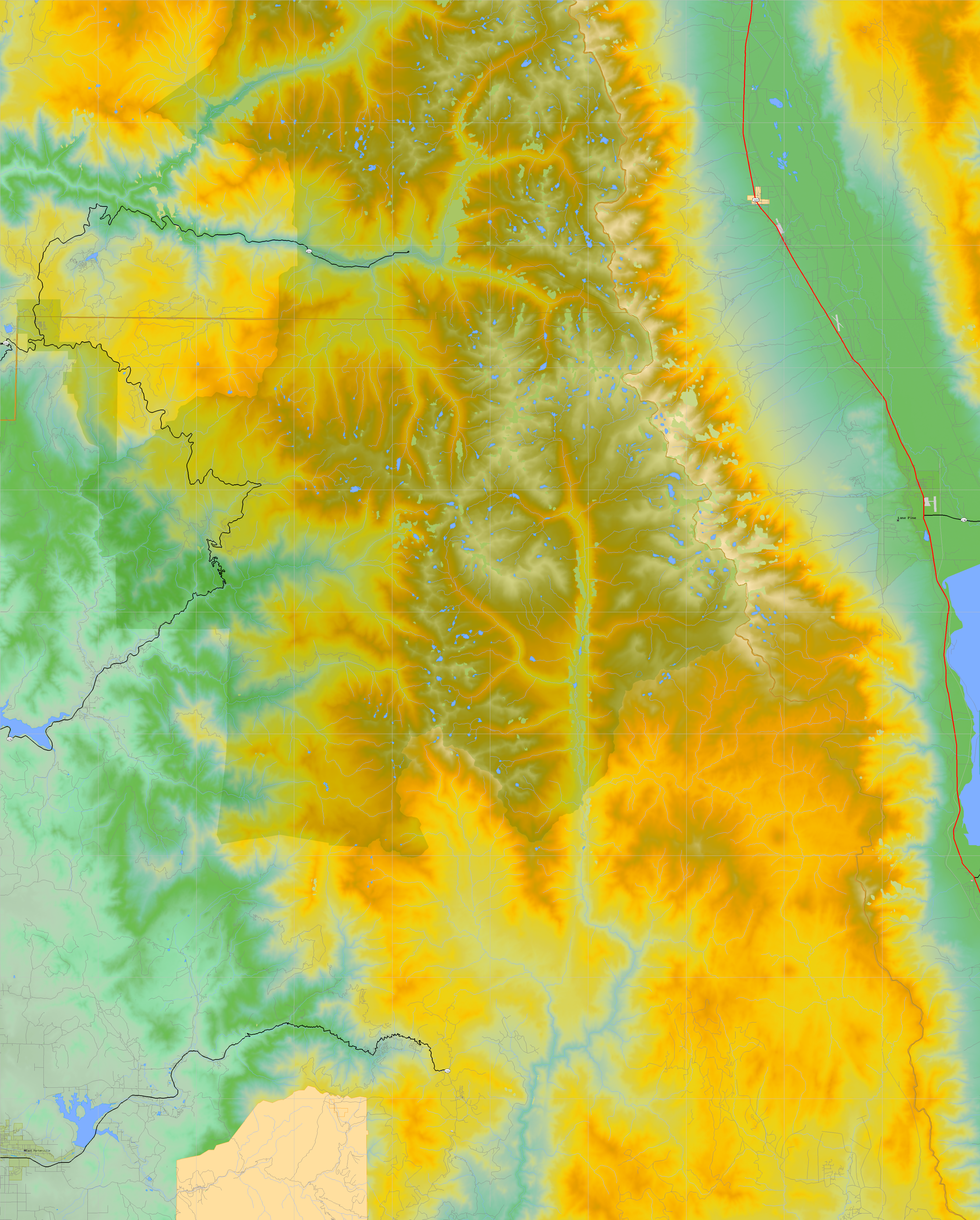
California and Nevada: 119°W/37°N to 118°W/36°N
 |
Shuttle Radar Topography Mission |
 |
U. S. Census Bureau Tiger Map Server |
Elevation File
37N119W_el.tga.bz2 (7902165 bytes)
37N119W_el.png (9703360 bytes)
37N119W_el-uncorrected.tga.bz2 (7789520 bytes)
37N119W_el-uncorrected.png (9618147 bytes)
Texture File
37N119W_tx_c.tga.bz2 (9224691 bytes)
37N119W_tx_c.png (13473907 bytes)
 |
 |
 |
 |
 |
 |
 |
 |
 |