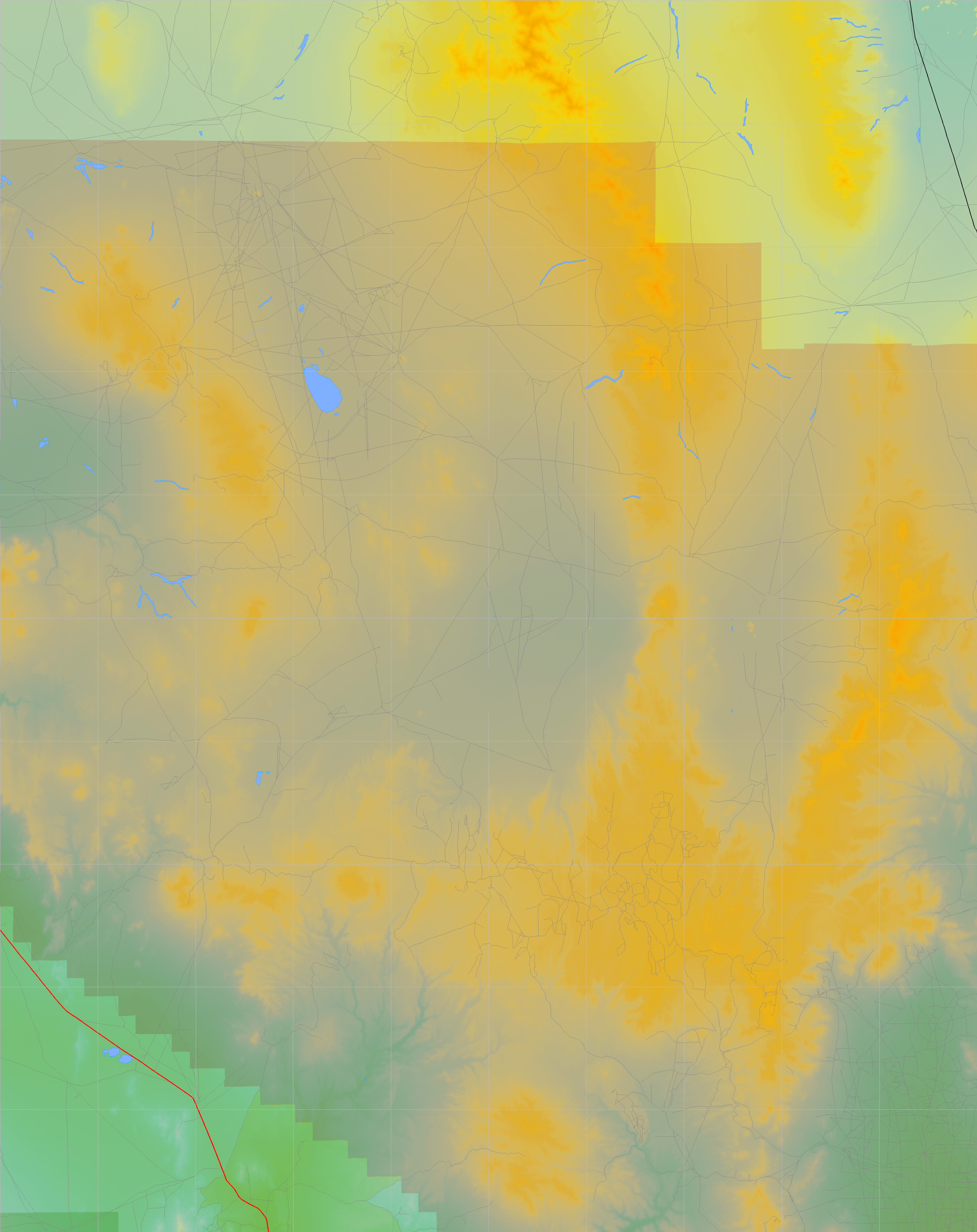
California and Nevada: 117°W/38°N to 116°W/37°N
 |
Shuttle Radar Topography Mission |
 |
U. S. Census Bureau Tiger Map Server |
Elevation File
38N117W_el.tga.bz2 (5199336 bytes)
38N117W_el.png (6681260 bytes)
38N117W_el-uncorrected.tga.bz2 (5198701 bytes)
38N117W_el-uncorrected.png (6681923 bytes)
Texture File
38N117W_tx_c.tga.bz2 (4813272 bytes)
38N117W_tx_c.png (7550774 bytes)
 |
 |
 |
 |
 |
 |
 |
 |
 |