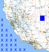
California and Nevada: 116°W/39°N to 115°W/38°N
 |
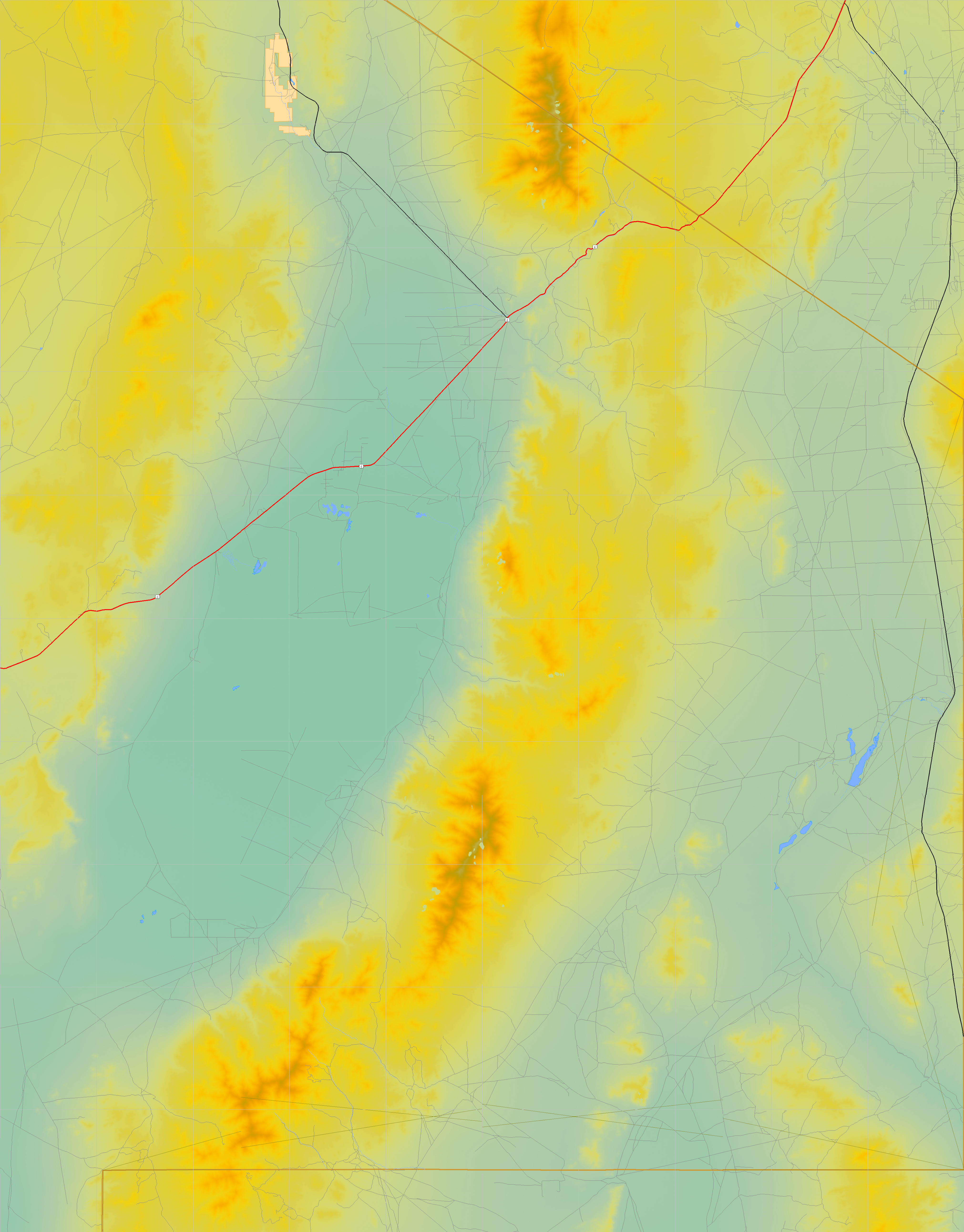
Shuttle Radar Topography Mission |
 |
U. S. Census Bureau Tiger Map Server |
Elevation File
39N116W_el.tga.bz2 (5278453 bytes)
39N116W_el.png (6867493 bytes)
39N116W_el-uncorrected.tga.bz2 (5276471 bytes)
39N116W_el-uncorrected.png (6865992 bytes)
Texture File
39N116W_tx_c.tga.bz2 (5244169 bytes)
39N116W_tx_c.png (8218107 bytes)
 |
 |
 |
 |
 |
 |
 |
 |
 |