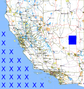
California and Nevada: 116°W/38°N to 115°W/37°N
 |
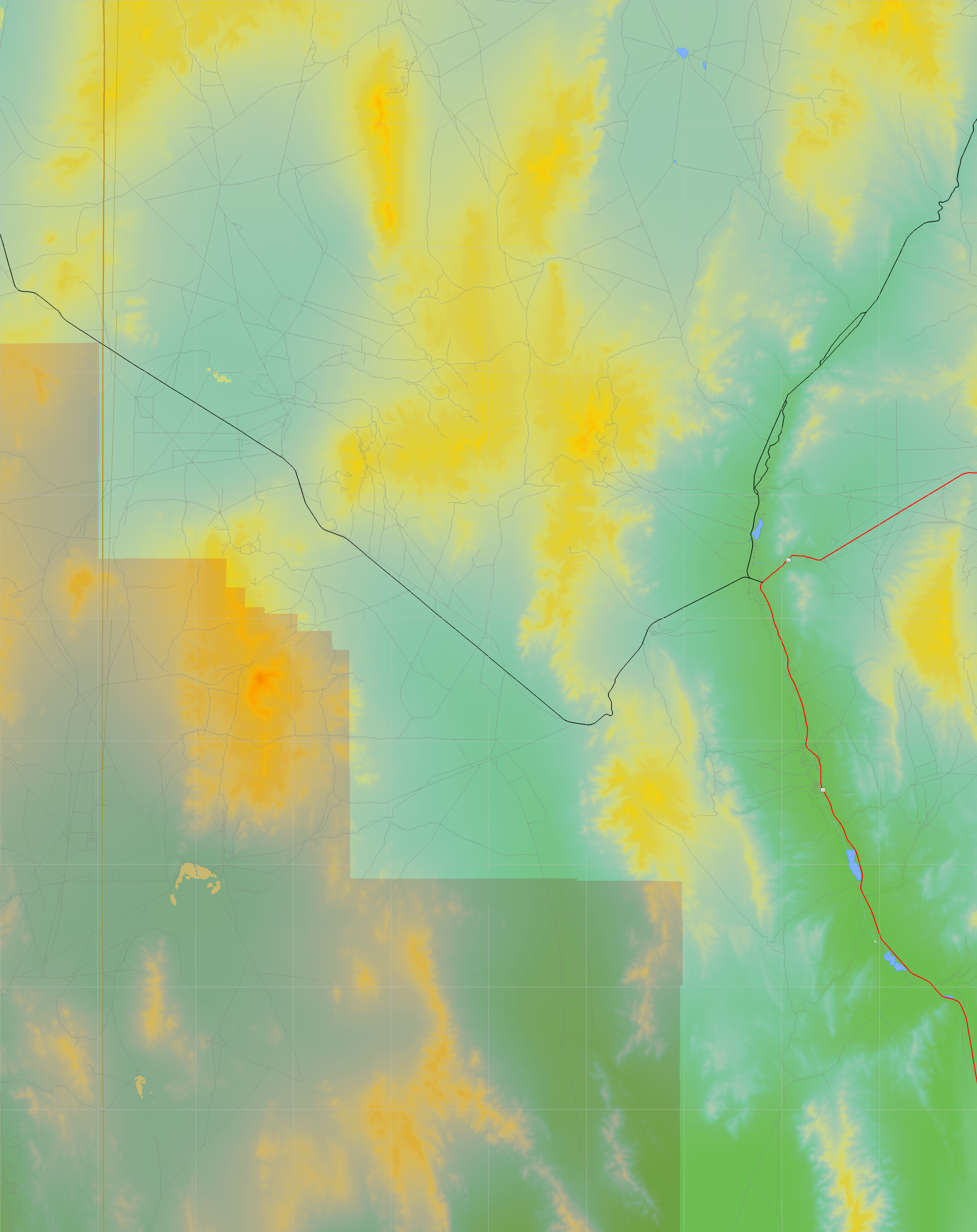
Shuttle Radar Topography Mission |
 |
U. S. Census Bureau Tiger Map Server |
Elevation File
38N116W_el.tga.bz2 (5315993 bytes)
38N116W_el.png (6795265 bytes)
38N116W_el-uncorrected.tga.bz2 (5311979 bytes)
38N116W_el-uncorrected.png (6795243 bytes)
Texture File
38N116W_tx_c.tga.bz2 (5010496 bytes)
38N116W_tx_c.png (8014723 bytes)
 |
 |
 |
 |
 |
 |
 |
 |
 |