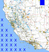
California and Nevada: 116°W/42°N to 115°W/41°N
 |
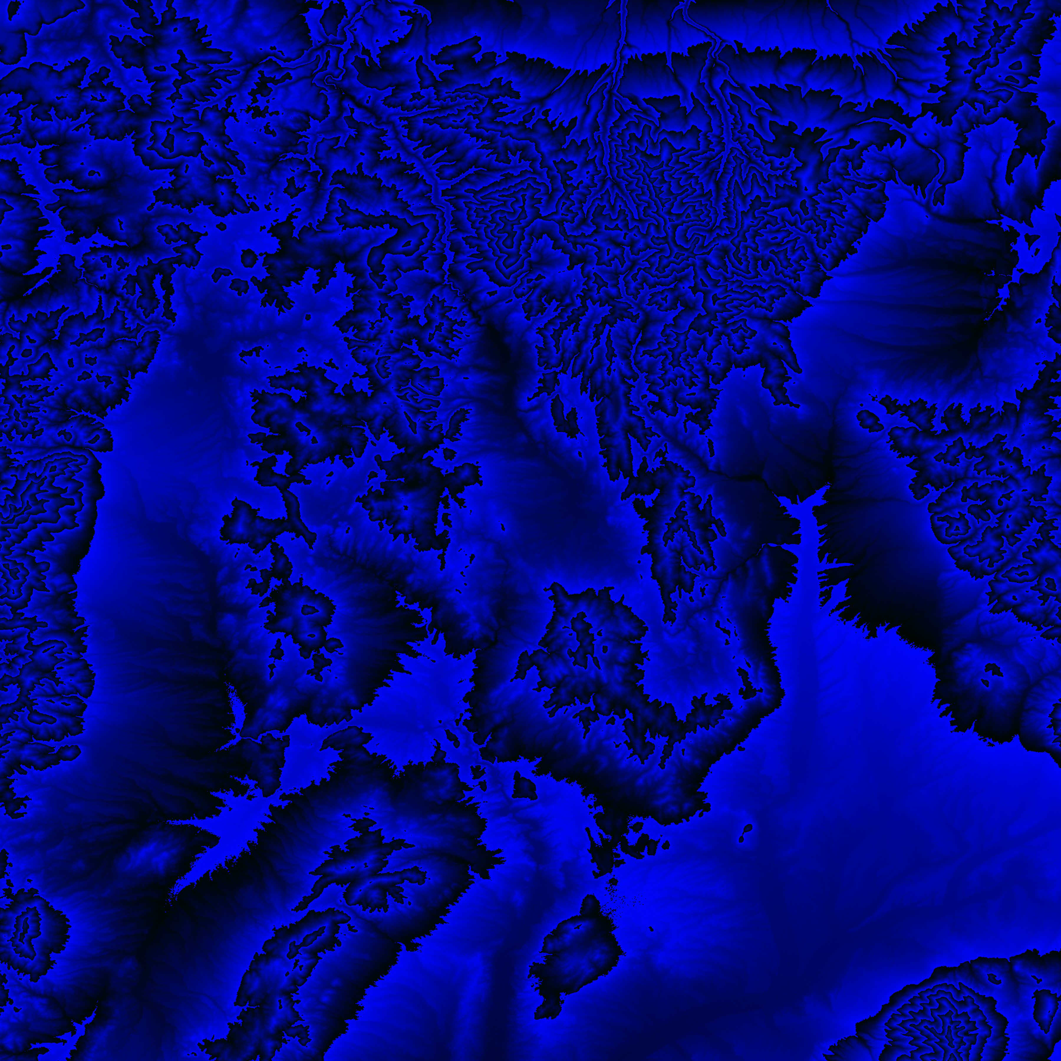
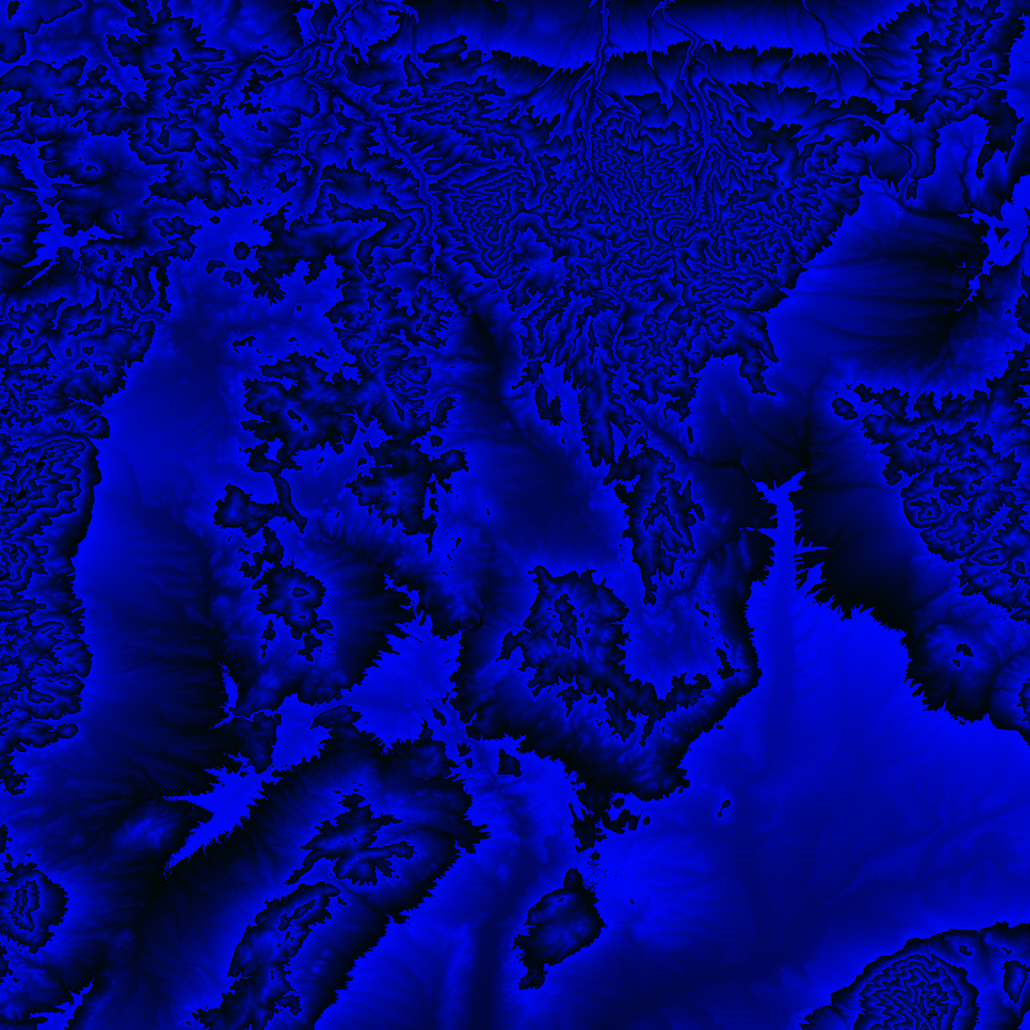
Shuttle Radar Topography Mission |
 |
U. S. Census Bureau Tiger Map Server |
Elevation File
42N116W_el.tga.bz2 (5990545 bytes)
42N116W_el.png (7738699 bytes)
42N116W_el-uncorrected.tga.bz2 (5984763 bytes)
42N116W_el-uncorrected.png (7734957 bytes)
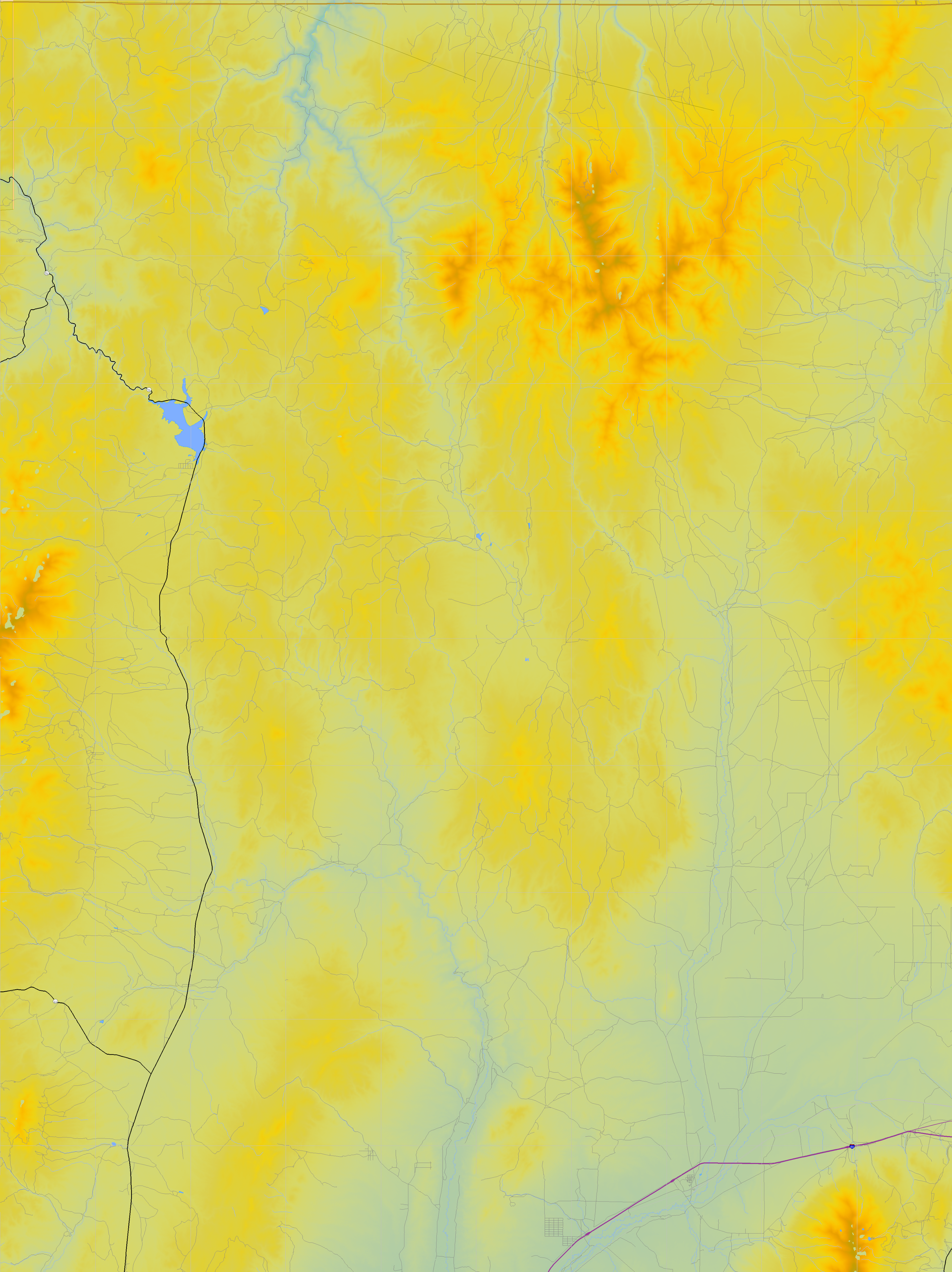
Texture File
42N116W_tx_c.tga.bz2 (7043148 bytes)
42N116W_tx_c.png (10572981 bytes)
 |
 |
 |
 |
 |
 |
 |
 |
 |