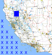
California and Nevada: 122°W/40°N to 121°W/39°N
 |
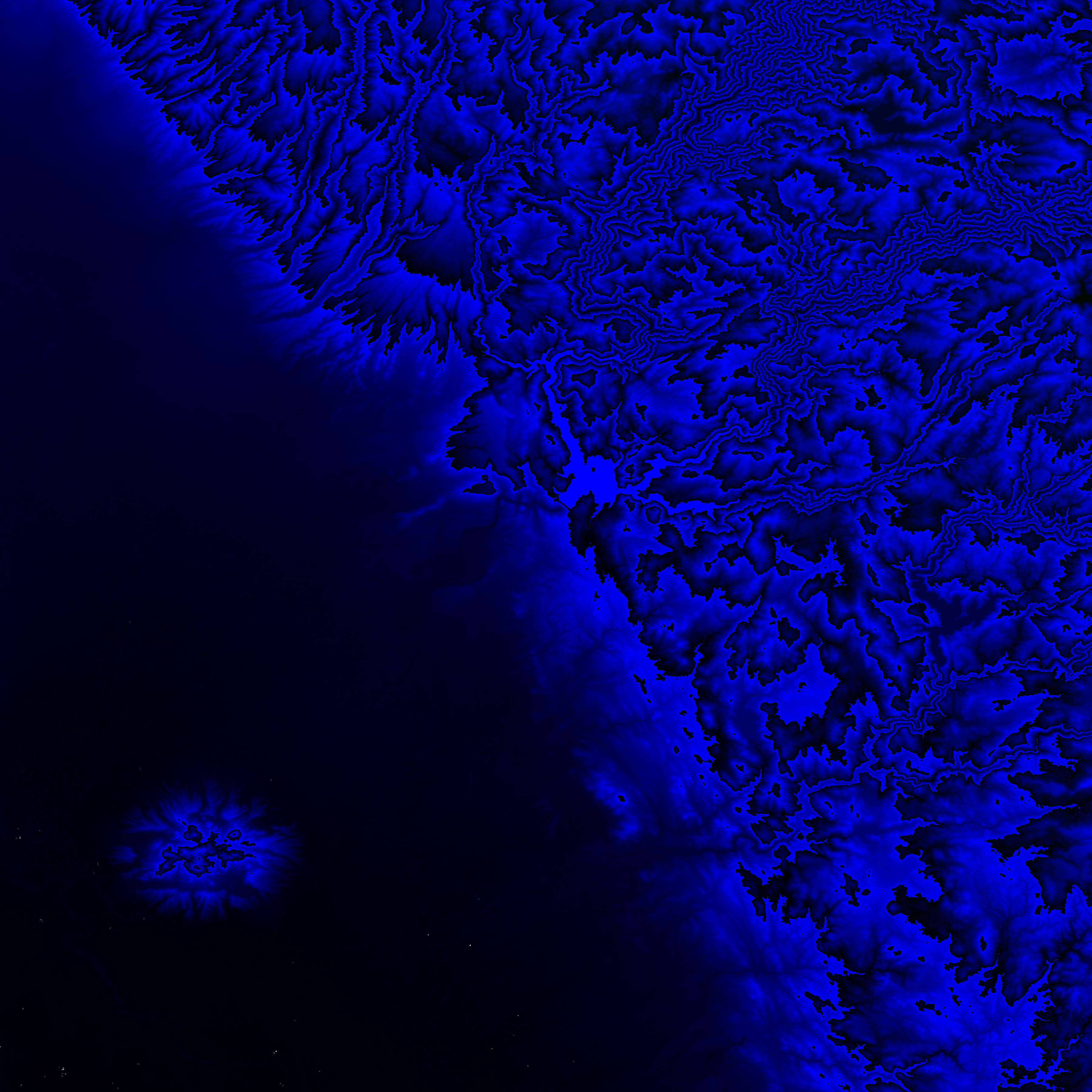
Shuttle Radar Topography Mission |
 |
U. S. Census Bureau Tiger Map Server |
Elevation File
40N122W_el.tga.bz2 (5549682 bytes)
40N122W_el.png (7177668 bytes)
40N122W_el-uncorrected.tga.bz2 (5550962 bytes)
40N122W_el-uncorrected.png (7177743 bytes)
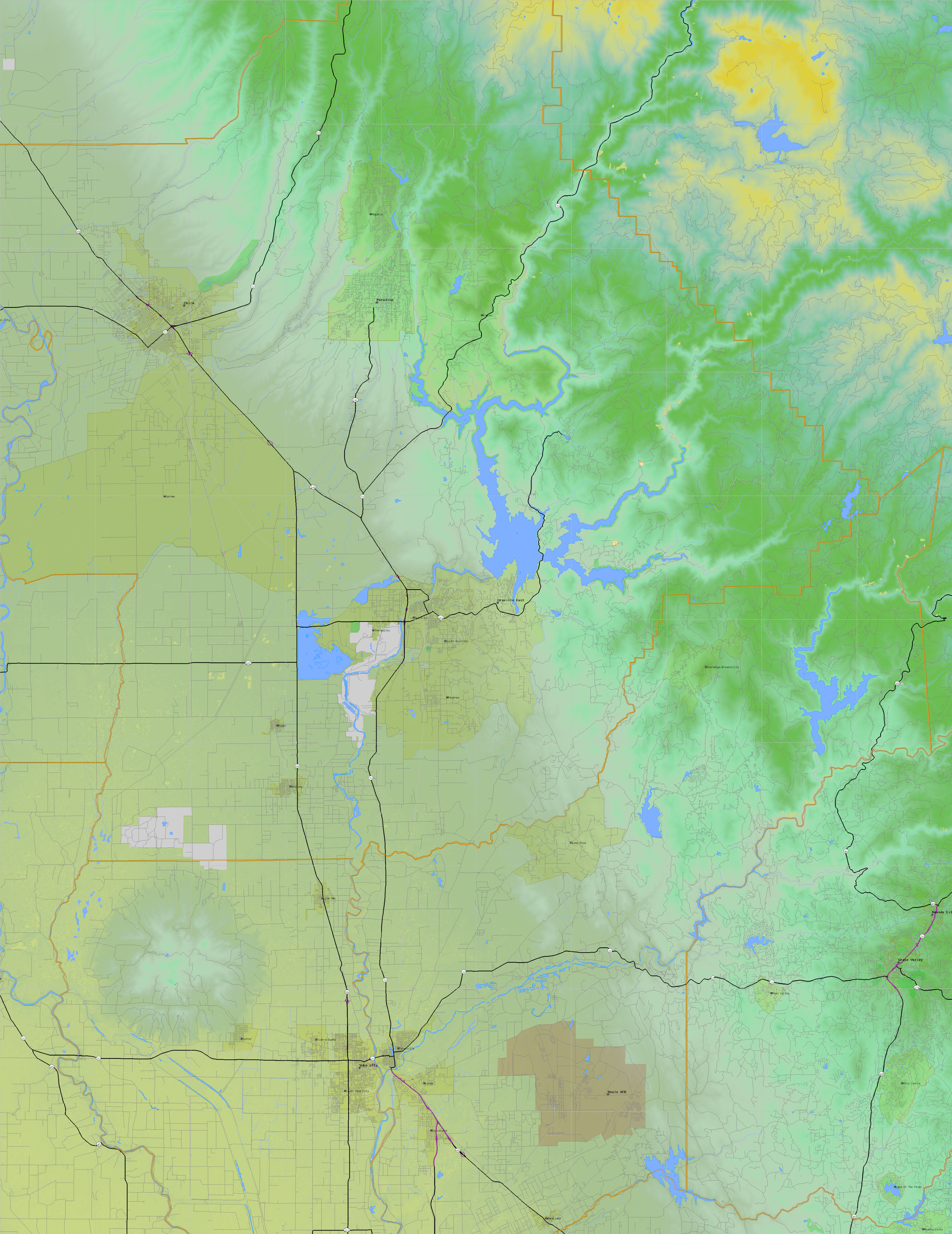
Texture File
40N122W_tx_c.tga.bz2 (9220217 bytes)
40N122W_tx_c.png (13461766 bytes)
 |
 |
 |
 |
 |
 |
 |
 |
 |