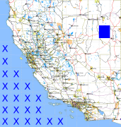
California and Nevada: 116°W/40°N to 115°W/39°N
 |
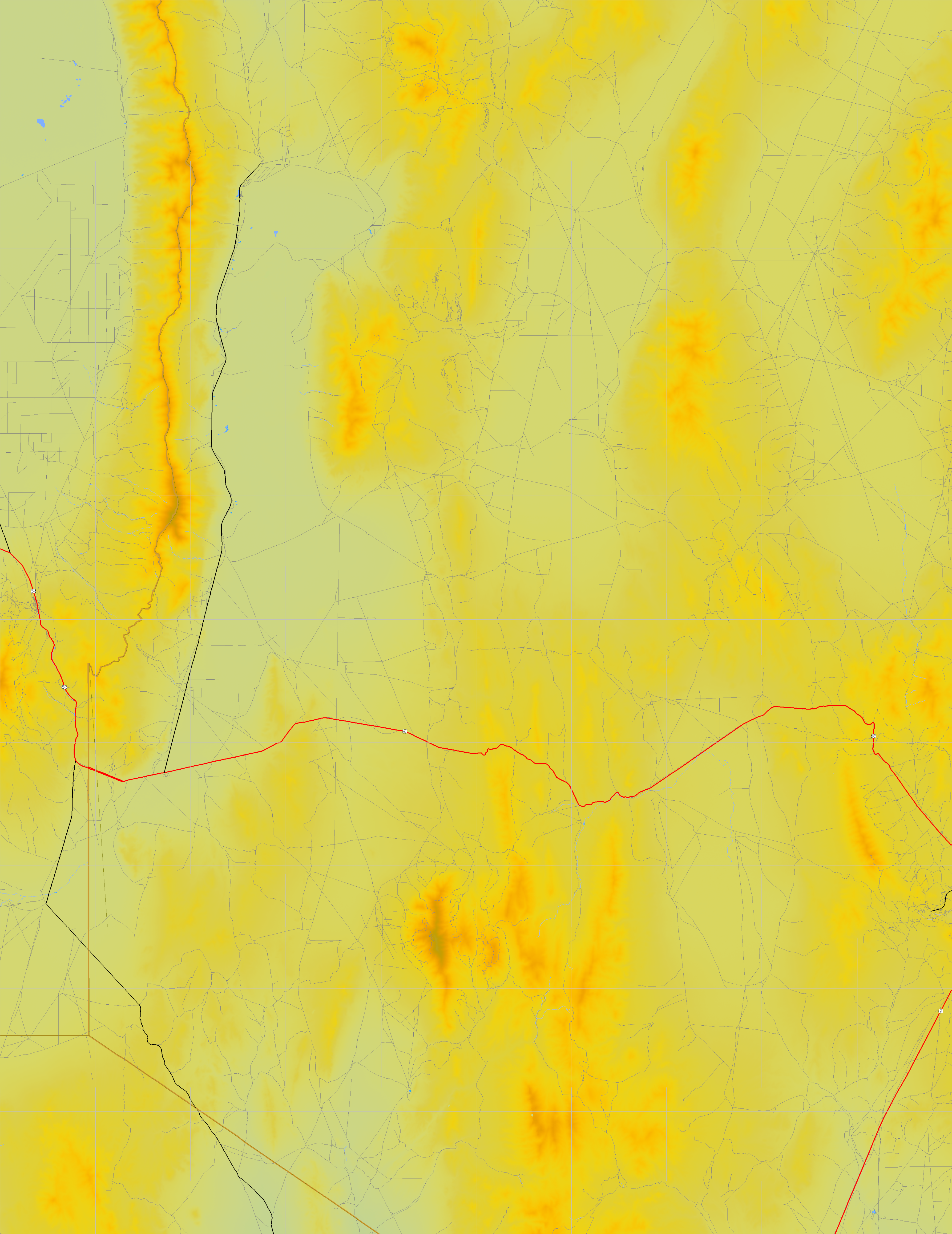
Shuttle Radar Topography Mission |
 |
U. S. Census Bureau Tiger Map Server |
Elevation File
40N116W_el.tga.bz2 (5093888 bytes)
40N116W_el.png (6759283 bytes)
40N116W_el-uncorrected.tga.bz2 (5096080 bytes)
40N116W_el-uncorrected.png (6759279 bytes)
Texture File
40N116W_tx_c.tga.bz2 (5335173 bytes)
40N116W_tx_c.png (8361317 bytes)
 |
 |
 |
 |
 |
 |
 |
 |
 |