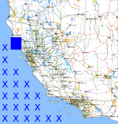
California and Nevada: 124°W/39°N to 123°W/38°N
 |
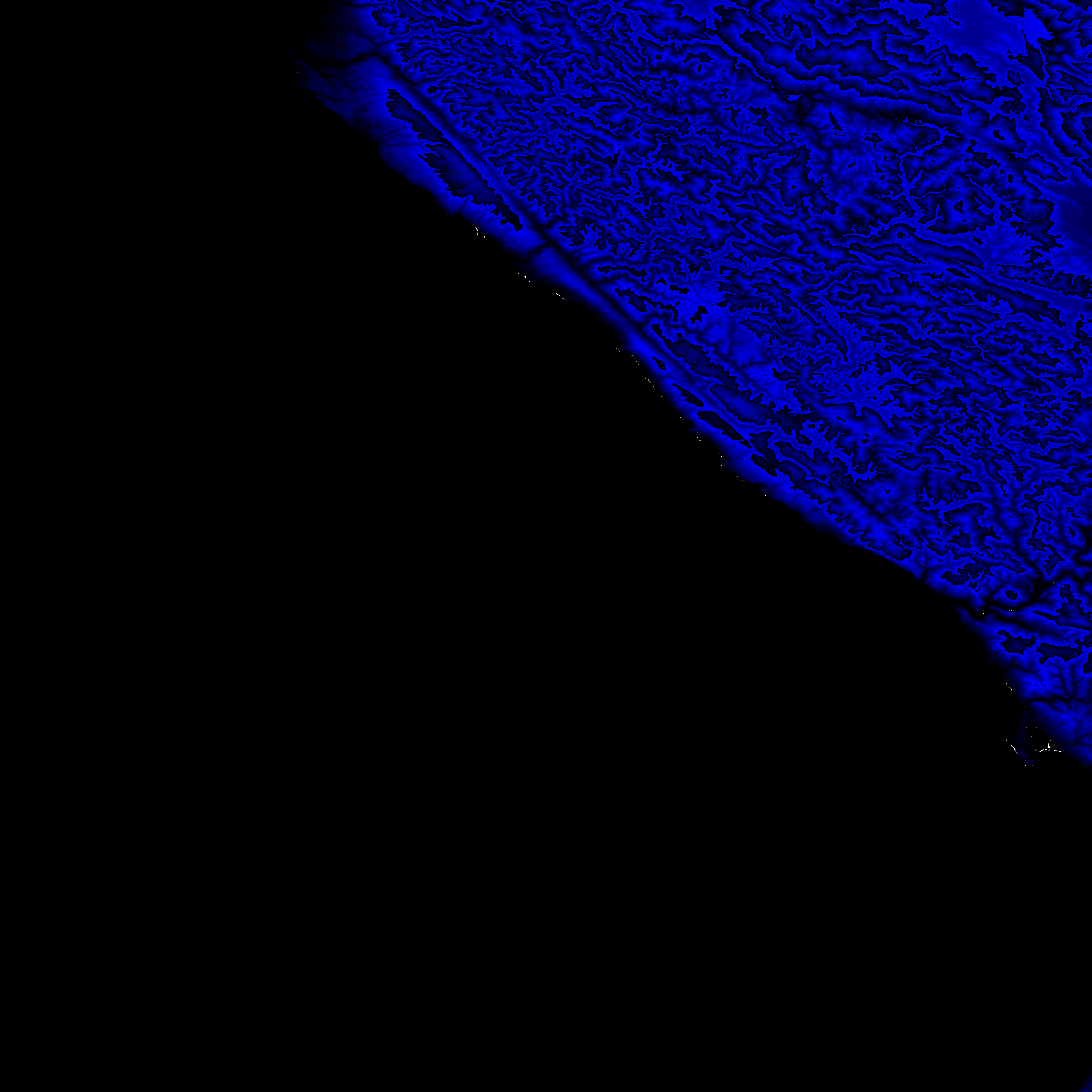
Shuttle Radar Topography Mission |
 |
U. S. Census Bureau Tiger Map Server |
Elevation File
39N124W_el.tga.bz2 (1903416 bytes)
39N124W_el.png (2734545 bytes)
39N124W_el-uncorrected.tga.bz2 (1903293 bytes)
39N124W_el-uncorrected.png (2734809 bytes)
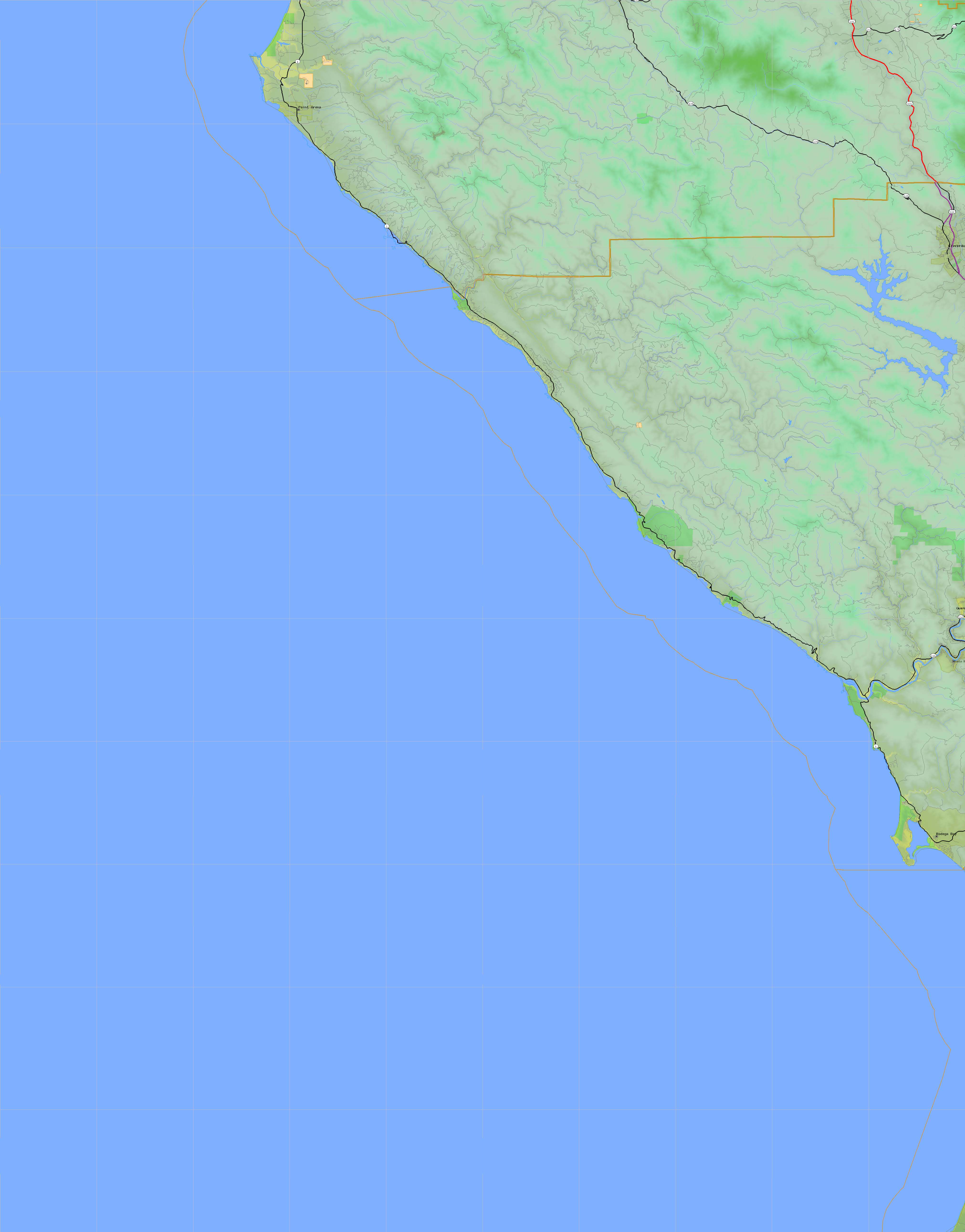
Texture File
39N124W_tx_c.tga.bz2 (2866192 bytes)
39N124W_tx_c.png (4516840 bytes)
 |
 |
 |
 |
 |
 |
 |
 |
 |