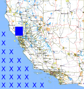
California and Nevada: 123°W/39°N to 122°W/38°N
 |
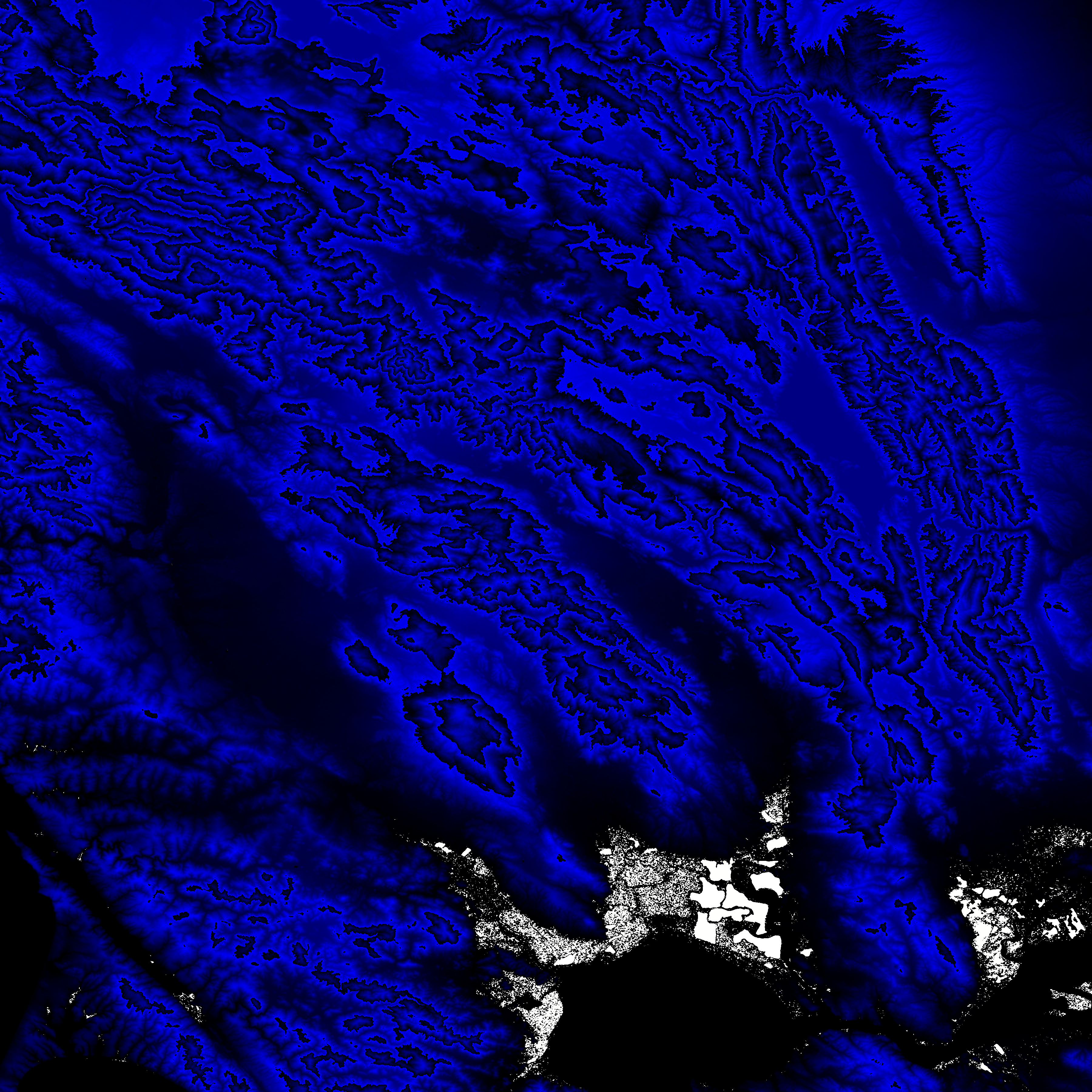
Shuttle Radar Topography Mission |
 |
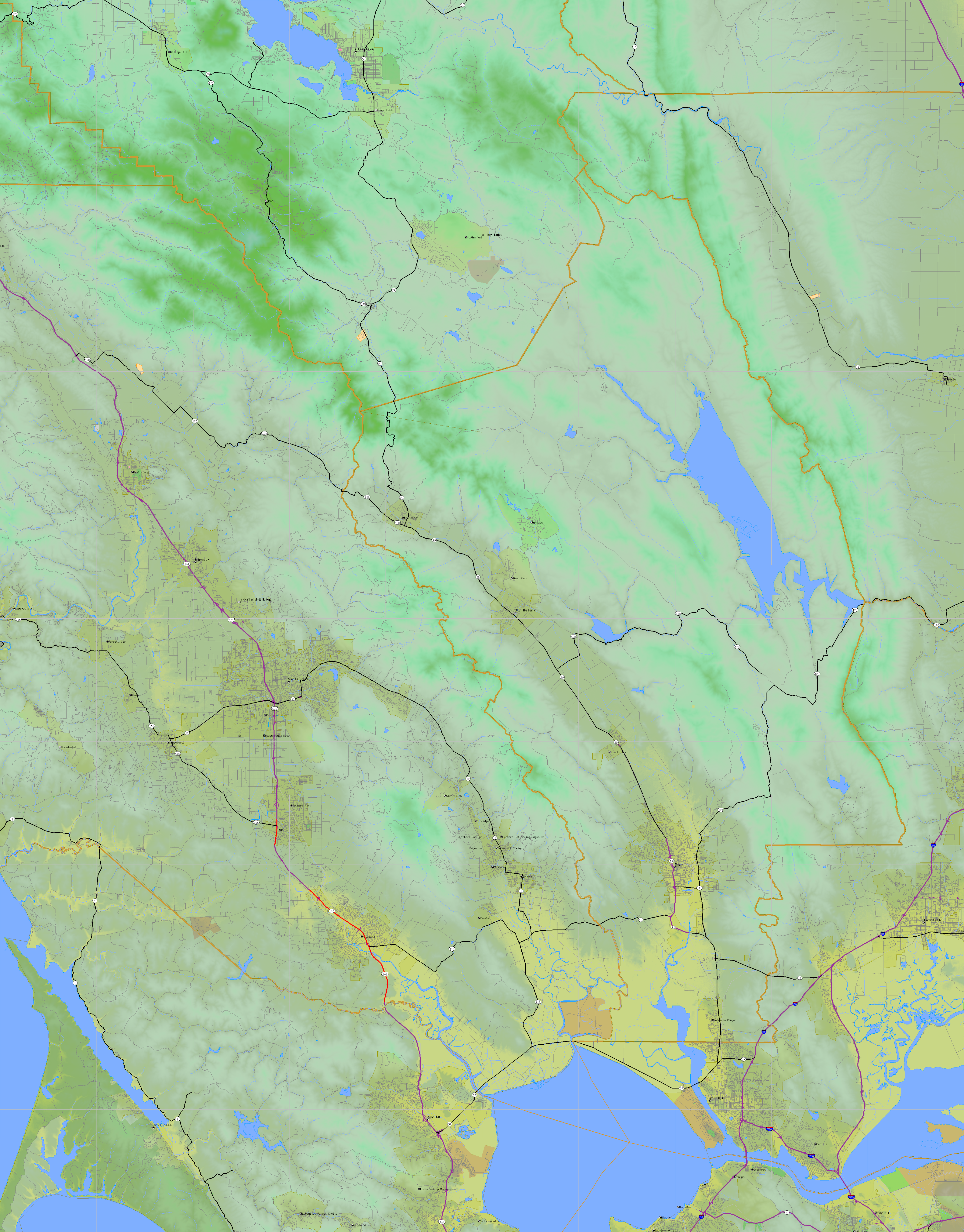
U. S. Census Bureau Tiger Map Server |
Elevation File
39N123W_el.tga.bz2 (5636658 bytes)
39N123W_el.png (7498906 bytes)
39N123W_el-uncorrected.tga.bz2 (5636817 bytes)
39N123W_el-uncorrected.png (7499466 bytes)
Texture File
39N123W_tx_c.tga.bz2 (8814861 bytes)
39N123W_tx_c.png (13177489 bytes)
 |
 |
 |
 |
 |
 |
 |
 |
 |