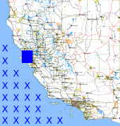
California and Nevada: 123°W/38°N to 122°W/37°N
 |
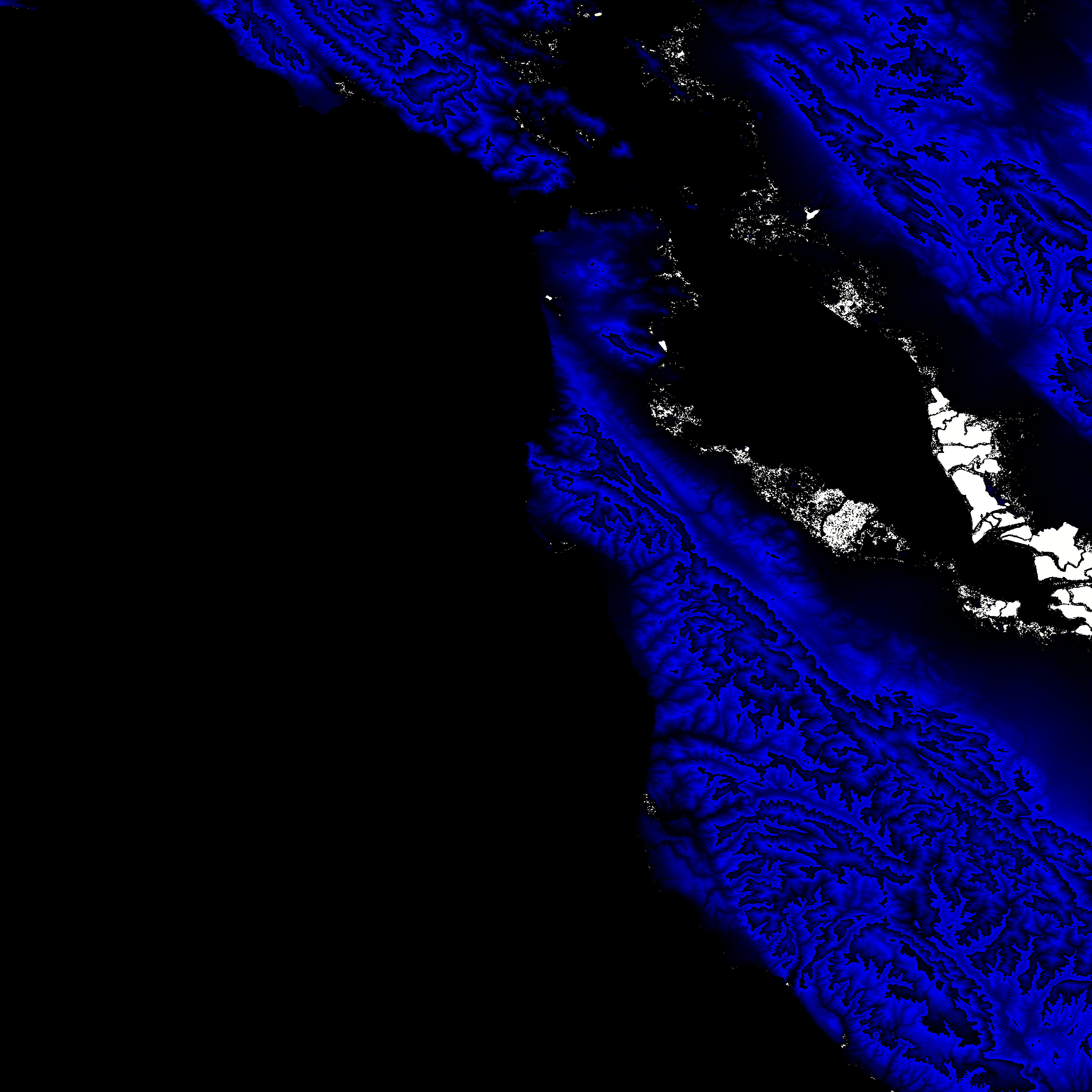
Shuttle Radar Topography Mission |
 |
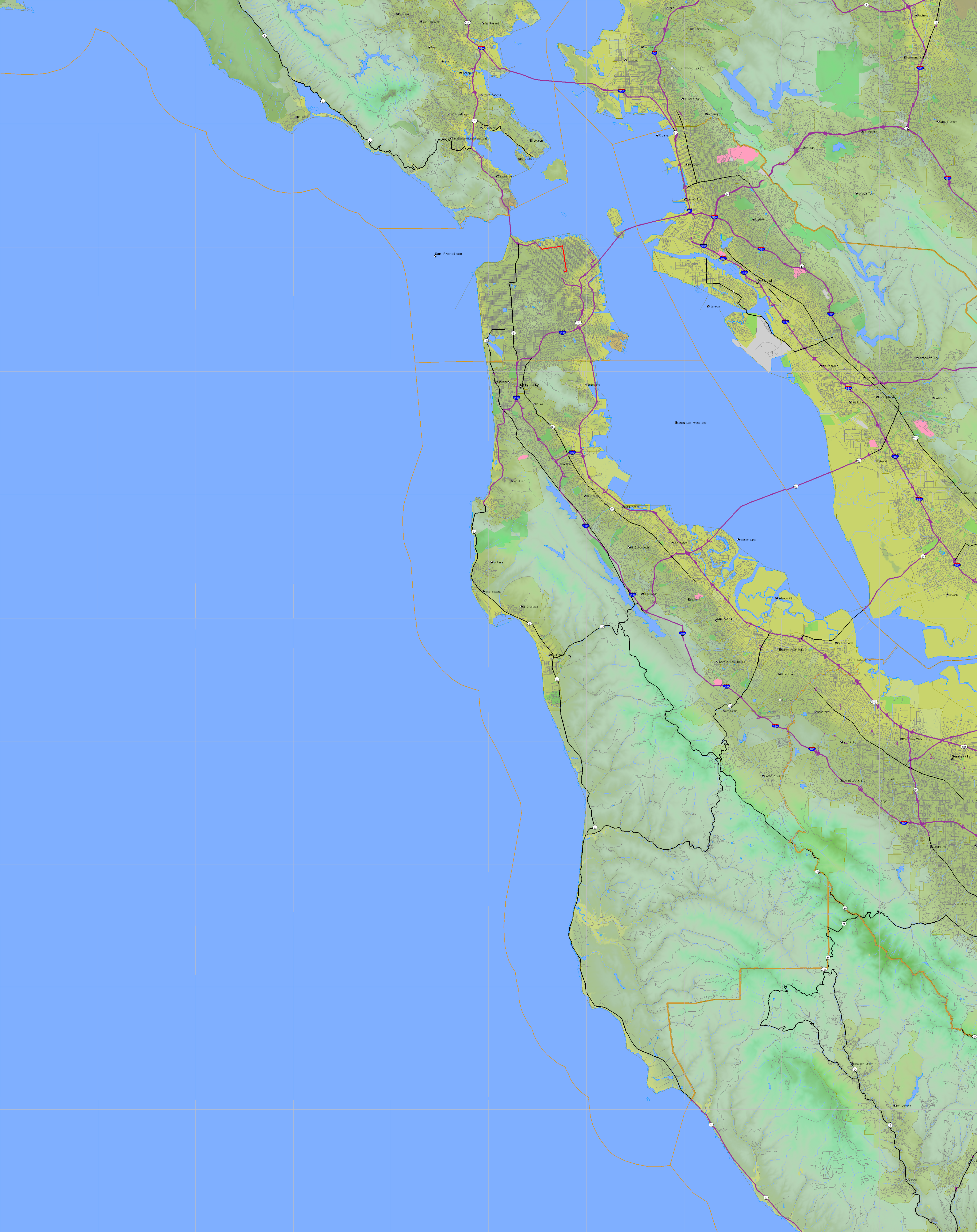
U. S. Census Bureau Tiger Map Server |
Elevation File
38N123W_el.tga.bz2 (2432406 bytes)
38N123W_el.png (3575698 bytes)
38N123W_el-uncorrected.tga.bz2 (2435654 bytes)
38N123W_el-uncorrected.png (3582618 bytes)
Texture File
38N123W_tx_c.tga.bz2 (6176464 bytes)
38N123W_tx_c.png (9298777 bytes)
 |
 |
 |
 |
 |
 |
 |
 |
 |