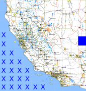
California and Nevada: 115°W/38°N to 114°W/37°N
 |
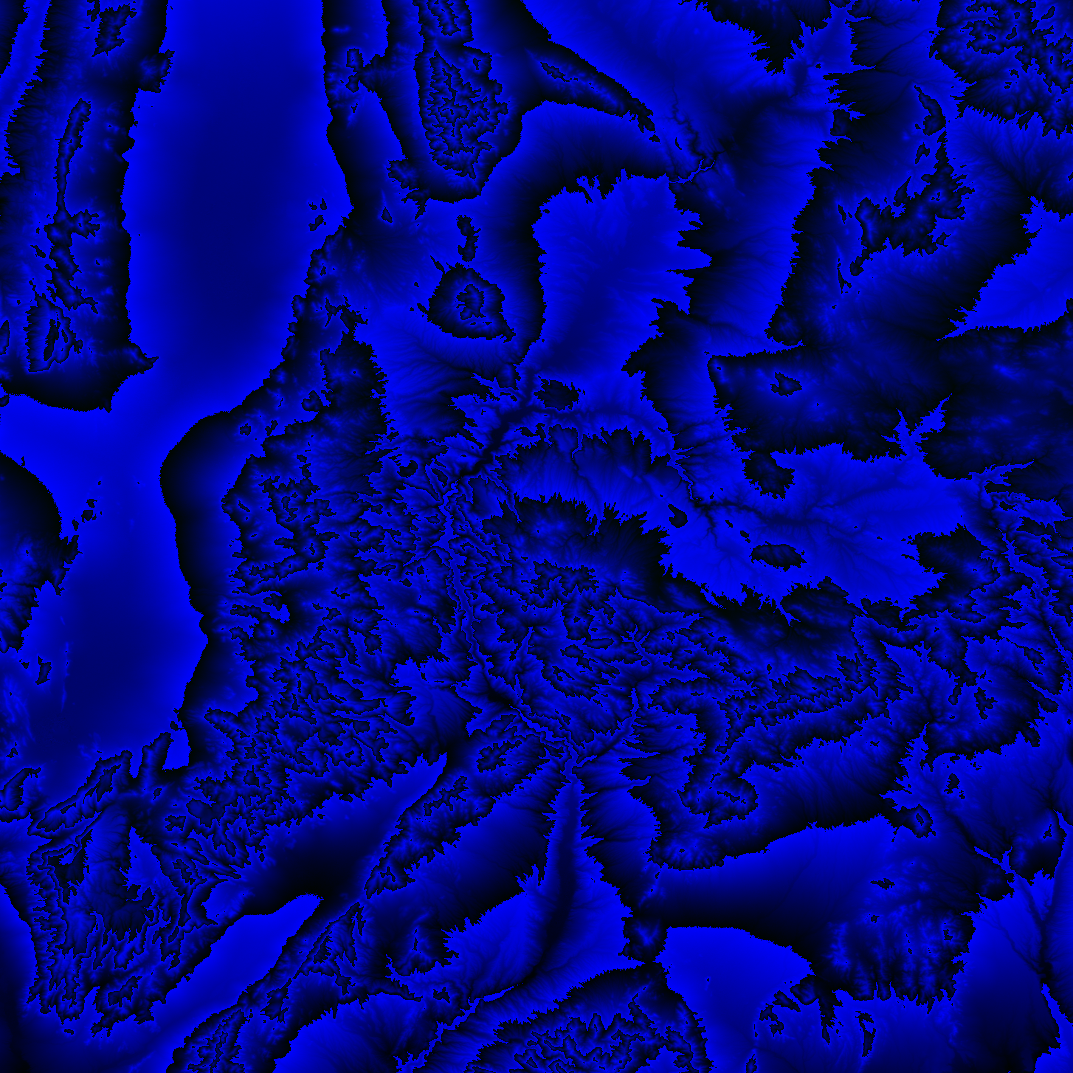
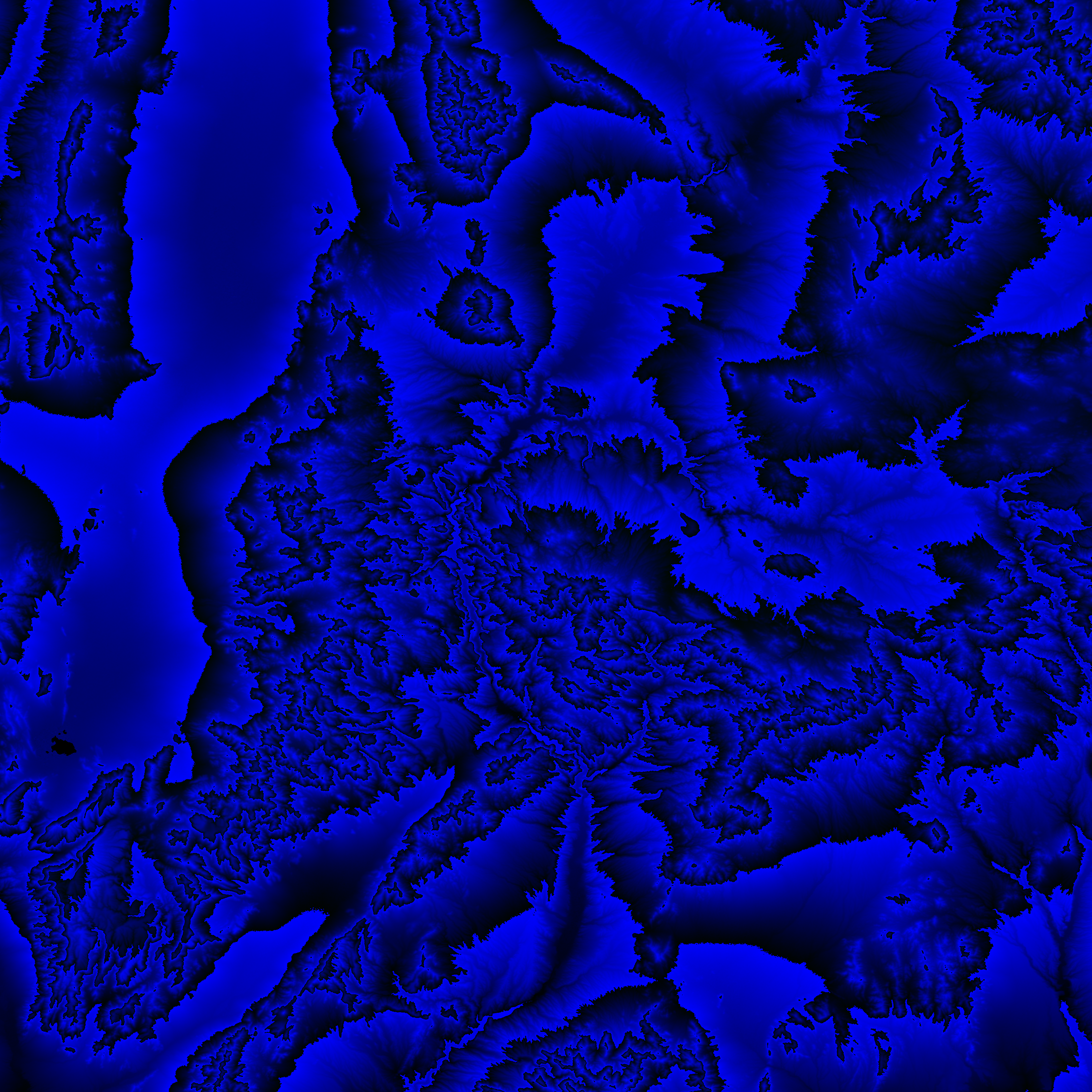
Shuttle Radar Topography Mission |
 |
U. S. Census Bureau Tiger Map Server |
Elevation File
38N115W_el.tga.bz2 (5799501 bytes)
38N115W_el.png (7446744 bytes)
38N115W_el-uncorrected.tga.bz2 (5801472 bytes)
38N115W_el-uncorrected.png (7446651 bytes)
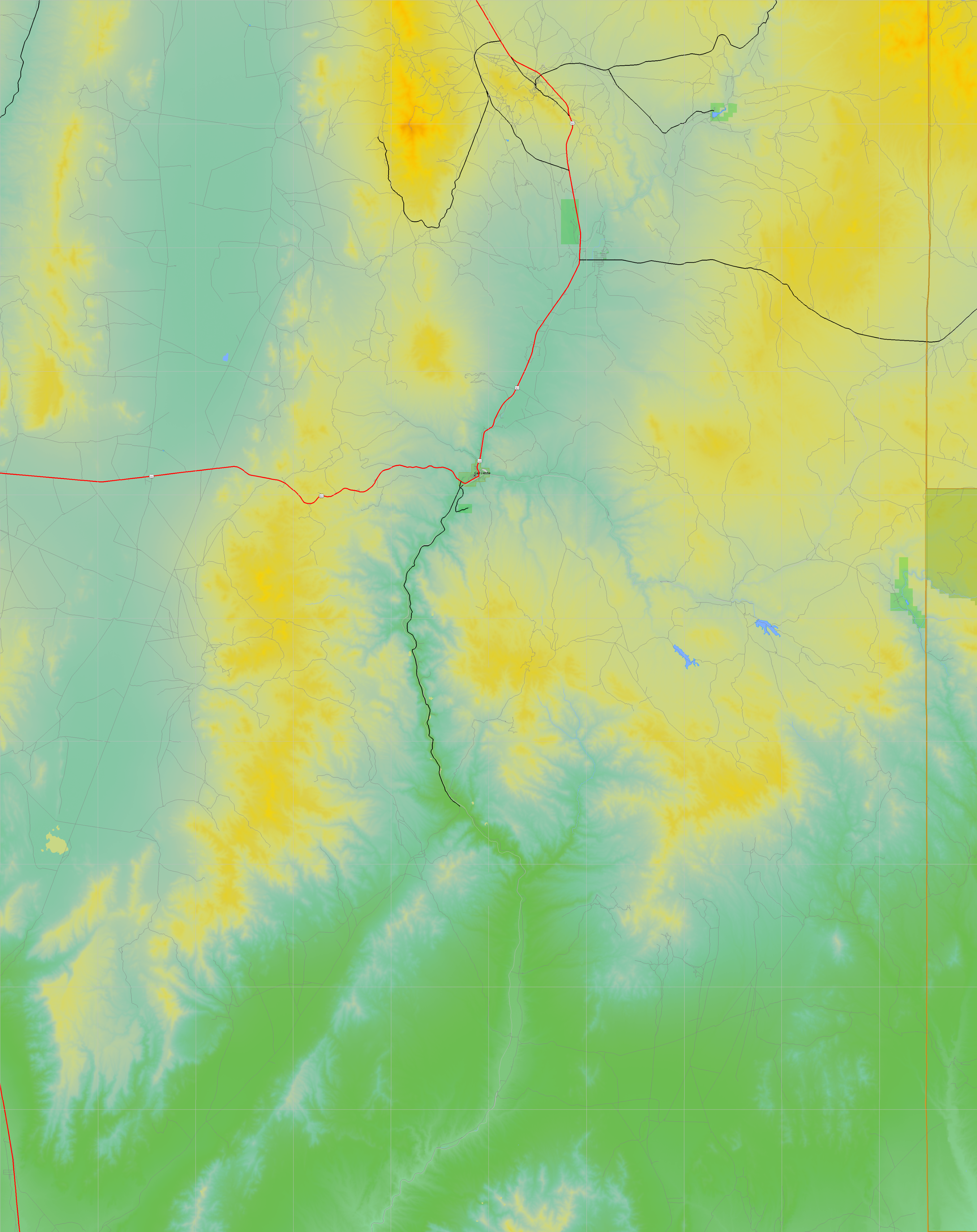
Texture File
38N115W_tx_c.tga.bz2 (5974219 bytes)
38N115W_tx_c.png (9360677 bytes)
 |
 |
 |
 |
 |
 |
 |
 |
 |