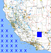
California and Nevada: 117°W/36°N to 116°W/35°N
 |
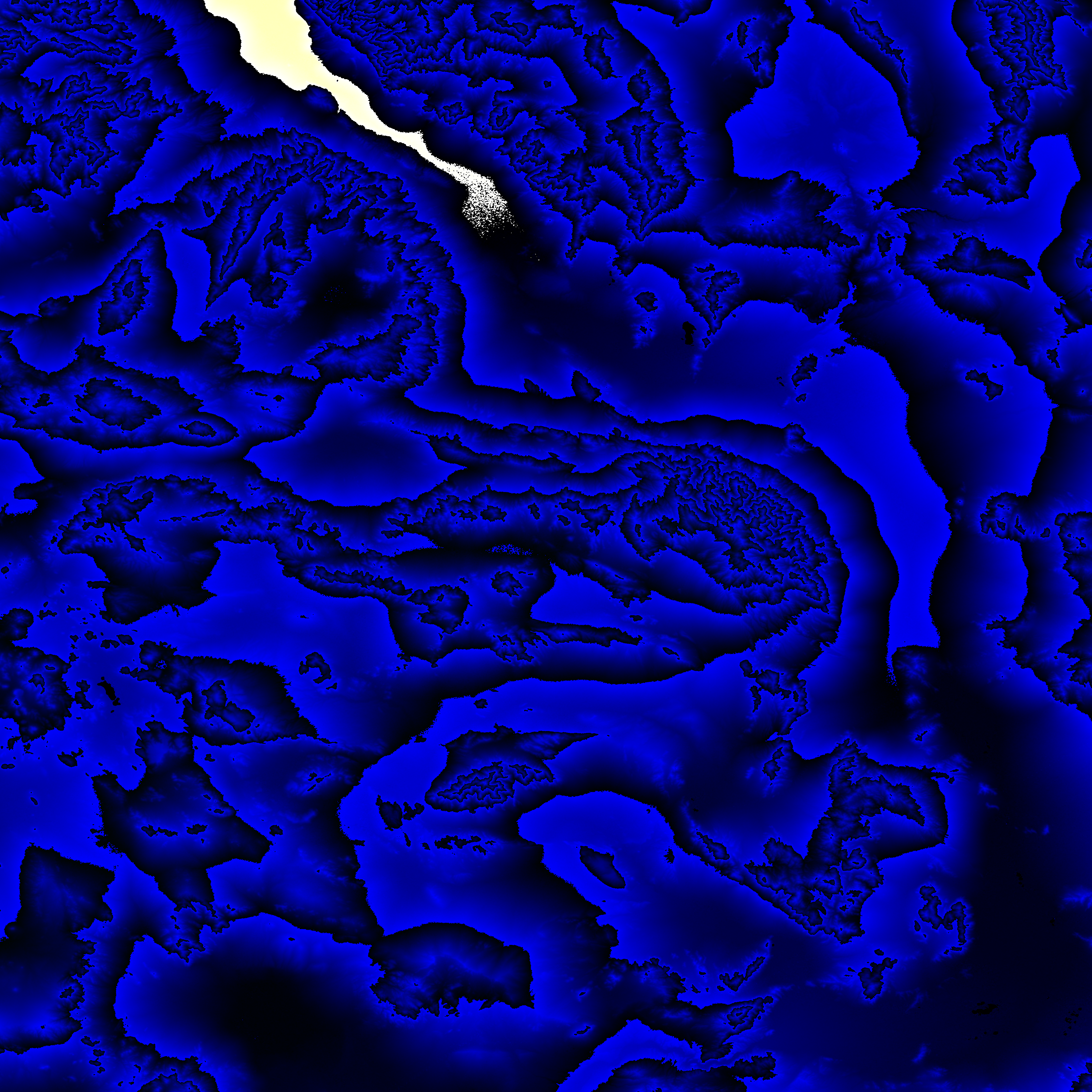
Shuttle Radar Topography Mission |
 |
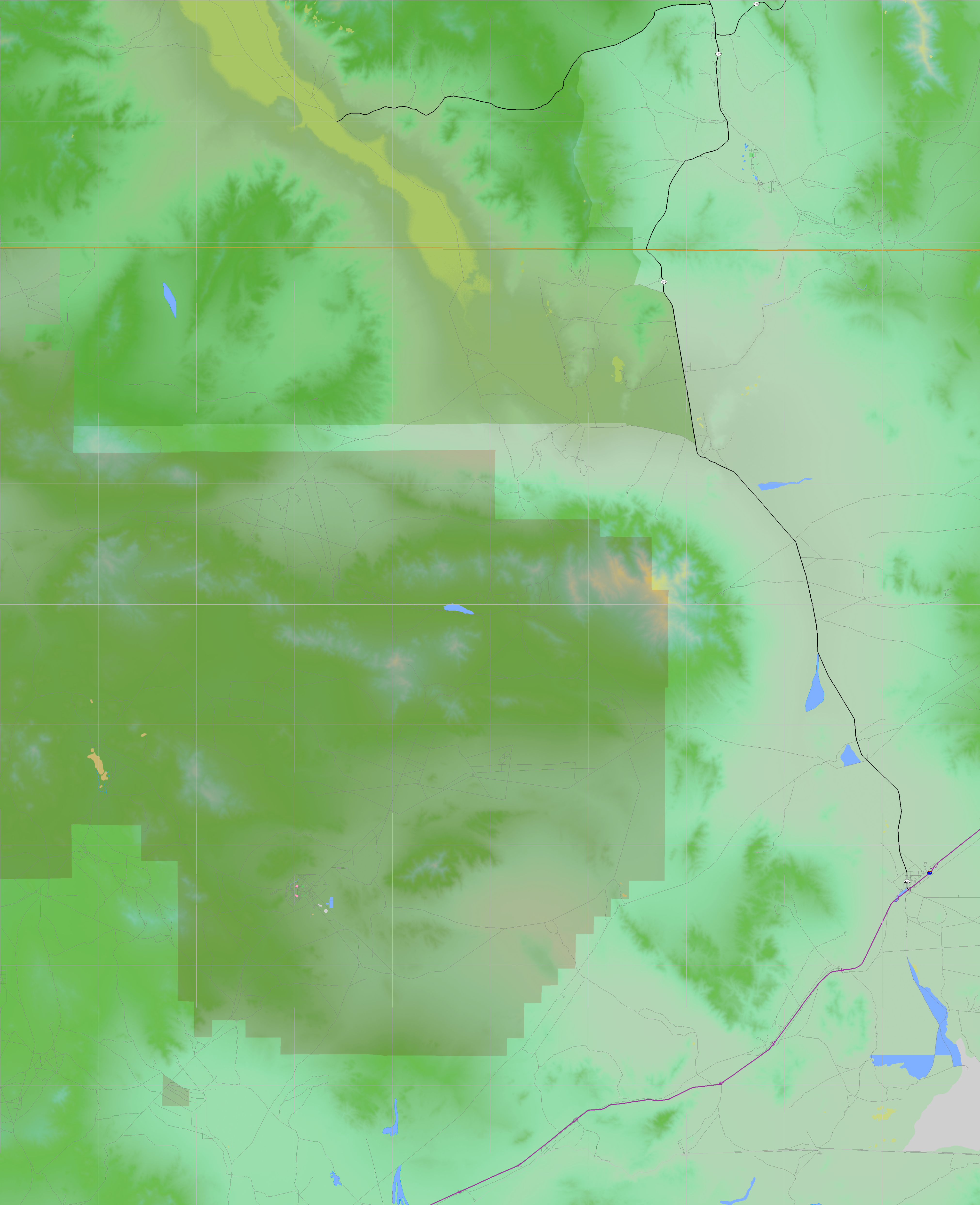
U. S. Census Bureau Tiger Map Server |
Elevation File
36N117W_el.tga.bz2 (5798018 bytes)
36N117W_el.png (7283936 bytes)
36N117W_el-uncorrected.tga.bz2 (5797558 bytes)
36N117W_el-uncorrected.png (7286241 bytes)
Texture File
36N117W_tx_c.tga.bz2 (4635961 bytes)
36N117W_tx_c.png (7256170 bytes)
 |
 |
 |
 |
 |
 |
 |
 |
 |