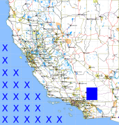
California and Nevada: 117°W/35°N to 116°W/34°N
 |
Shuttle Radar Topography Mission |
 |
U. S. Census Bureau Tiger Map Server |
Elevation File
35N117W_el.tga.bz2 (5729514 bytes)
35N117W_el.png (7226980 bytes)
35N117W_el-uncorrected.tga.bz2 (5729656 bytes)
35N117W_el-uncorrected.png (7227208 bytes)
Texture File
35N117W_tx_c.tga.bz2 (6112896 bytes)
35N117W_tx_c.png (9146979 bytes)
 |
 |
 |
 |
 |
 |
 |
 |
 |