Example
What does the surrounding and the horizon look like from a given viewpoint?
This example uses high resolution data:
- One Third Second NED (USGS Seamless), resolution approx. 10 meters;
- NLCD 1992 Land Cover (USGS Seamless), resolution approx. 30 meters;
- TIGER Census data: U.S. Bureau of the Census, resolution below 10 meters.
|
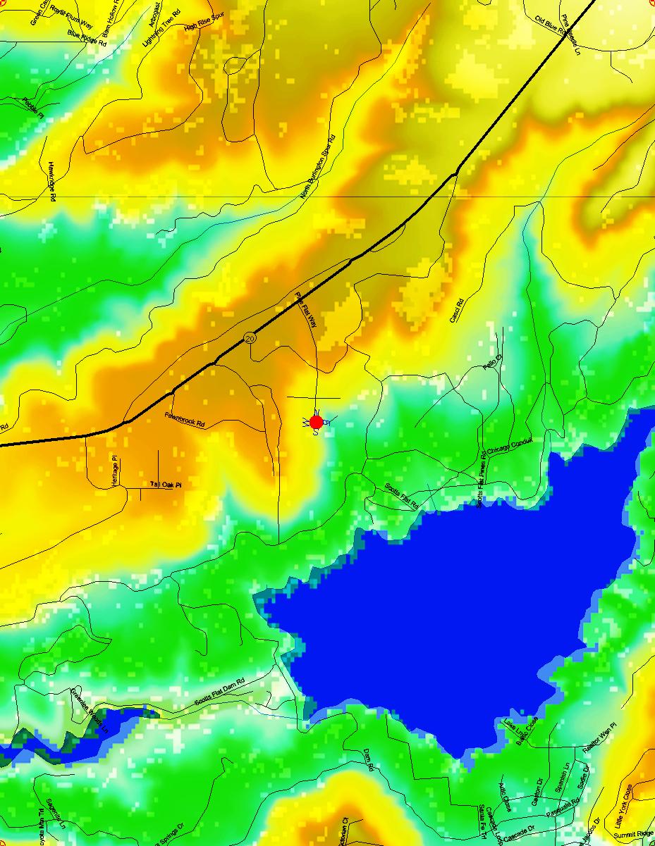
This is the map that is used as the texture. It was
created by blending:
The red dot is the viewpoint from which the horizon is to be rendered. The blue letters are used to indicate the viewing direction. |
|||||||||||||||||||||||||
|
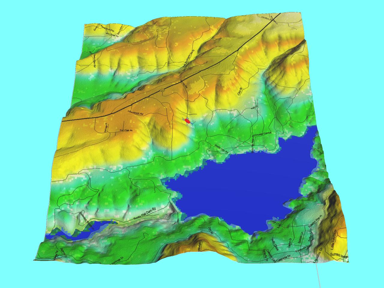
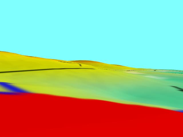
This is a 3D view of the whole landscape; looking north. The terrain has been vertically exaggerated by a factor of 4. Even Scotts Flat Dam can be seen at the left (west) end of the lake! | |||||||||||||||||||||||||
|
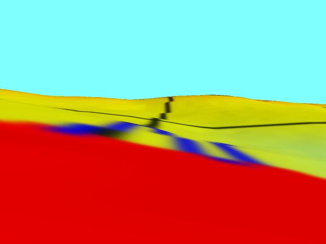
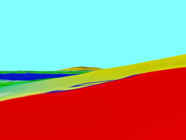
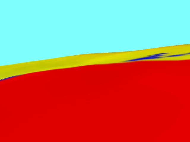
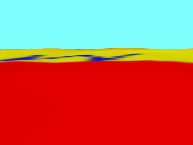
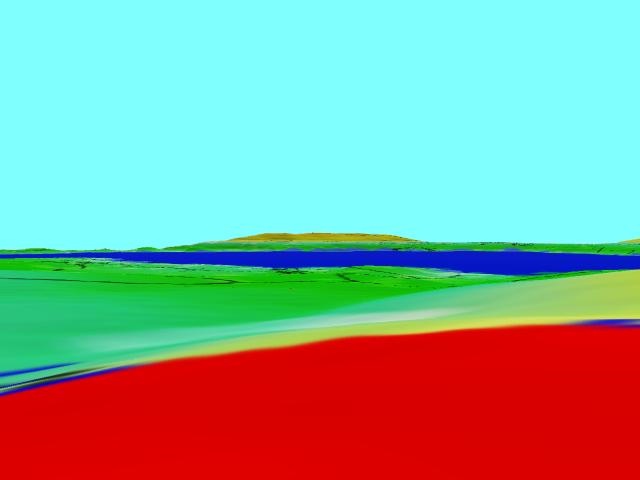
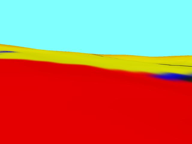
And these are the views as seen from the center of the red dot. The blue letters draped over the terrain indicate the viewing direction.
|
||||||||||||||||||||||||||